 Hiking
 Login
Login
 More
More
 EN
EN
 Premium
Enjoy between Ermsdorf and Eppeldorf
automatic translation
11.7 km • Vallée de l'Ernz
2131 0 0/5

 Addresse starting point (approximate)
Suevelbuererstrooss 3, 9366 Vallée de l'Ernz, LU
 signage
The route is partially signposted with thematic signs (no nodes). Use a GPS device or our app to follow the route.
 Description
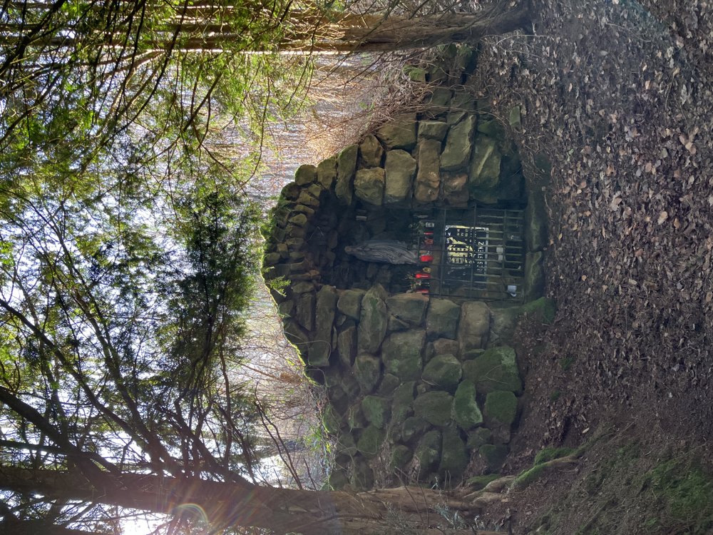
This walk starts at the parking lot next to the cemetery of Ermsdorf, a place somewhere between Ettelbrück and Echternach.
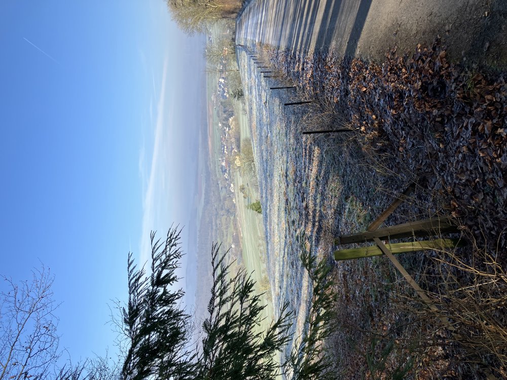
The signs for the E6 loop lead to a significant climb towards a windmill (395 m) that dominates the area and can be used as a point of orientation for the rest of the walk. At the windmill, we are on a ridge with beautiful views.
We follow the E6 loop until just before the village of Eppeldorf where we turn left (see map). After a few hundred meters, we turn left again.
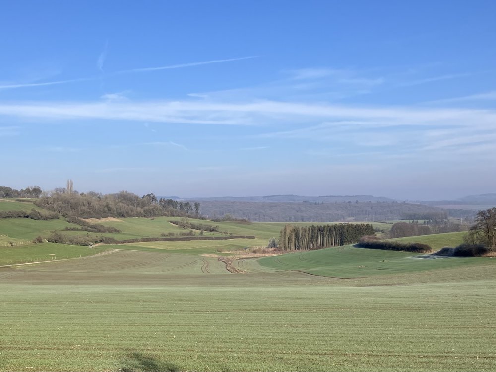
We now enter a beautiful valley with here and there a bench to enjoy the scenery and the silence. The path leads back to Eppeldorf where we have to take a slightly busier road before reaching a new ridge.
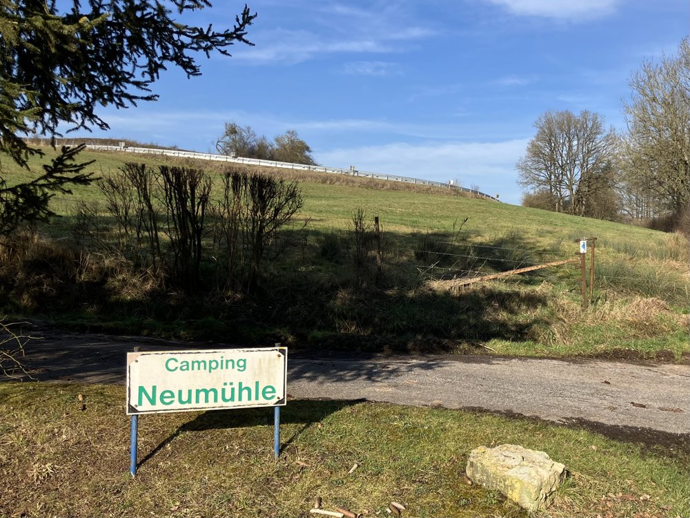
We now overlook the valley we came from. A steep descent then brings us to the Neimillen campsite (see map). From there, we follow the blue arrows marked 1, which eventually lead back to our starting point.
automatic translation


 Upgrade to Premium Plus
