 Hiking
 Login
Login
 More
More
 EN
EN
 Premium
Auto-Pedestrian Useldange 2
automatic translation
12 km • Useldange
920 0 0/5
12 km
0.0 km
0.0 km

 Addresse starting point (approximate)
Grottestrooss 19, 8720 Useldange, LU
 signage
The route is fully signposted with thematic signs (no nodes).
© Eddy & Rita
 Description
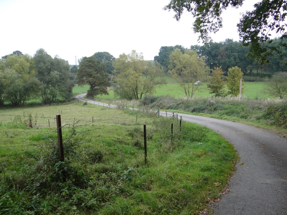
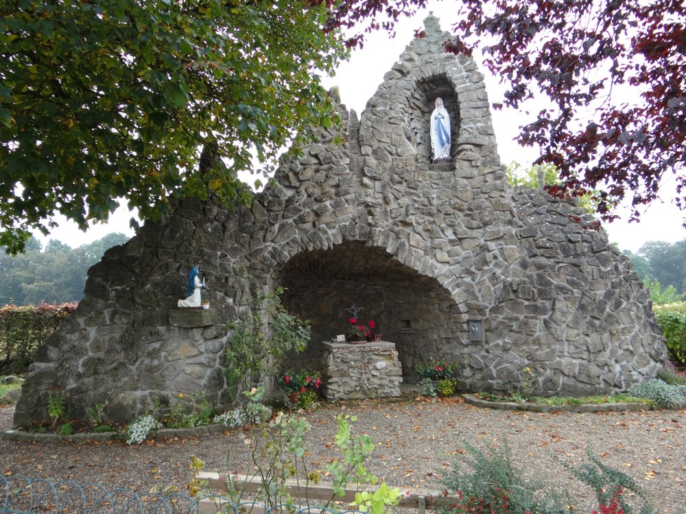
Beautiful walk through the hilly area around 'Rippweiler'. It runs entirely on paved and semi-paved roads and offers breathtaking views of the surroundings.
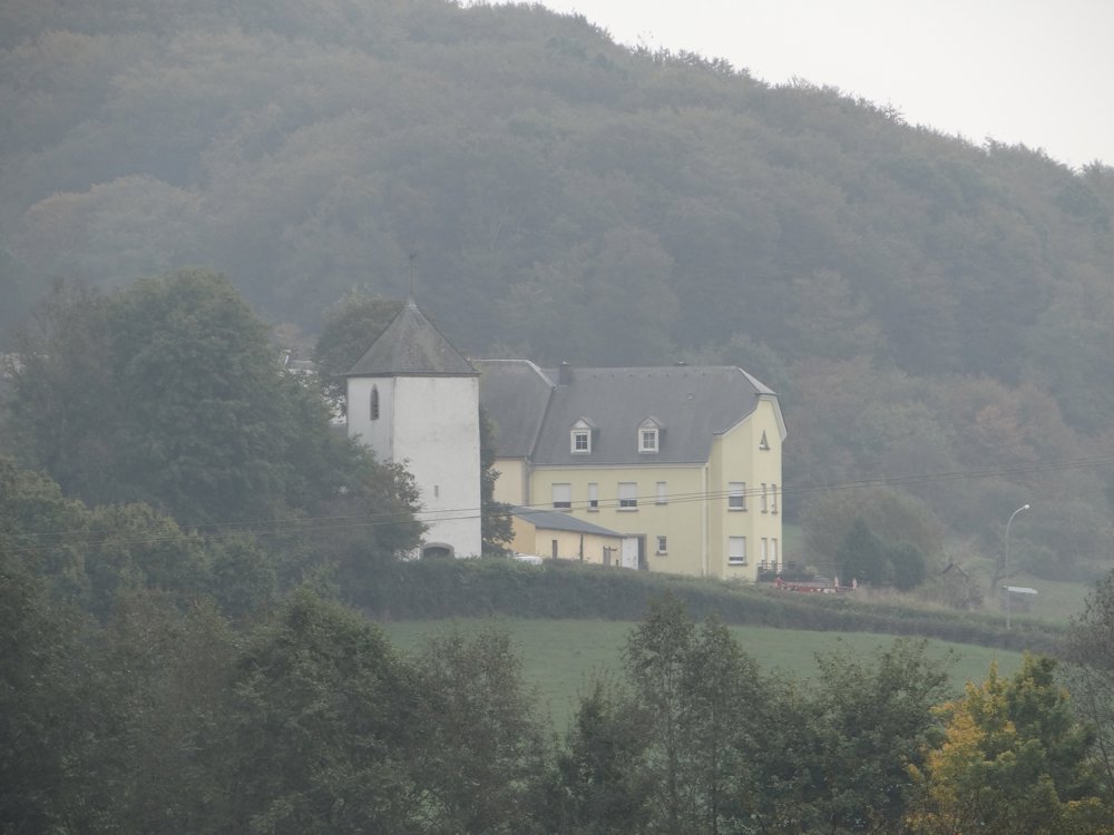
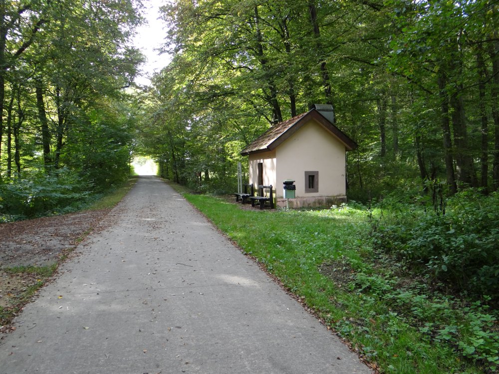
The route starts at the tourist office and follows the cycle path along the castle ruins. The path enters the Hënsdref forest near Rippweiler to reach the eastern entrance of Useldange via Schwebach. Here, the path leads back to the village center via the old railway line.
More photos: https://goo.gl/photos/9uu3cnMgGia3ZPpc9
Happy hiking,
Eddy, Rita, and Prinske
automatic translation


 Upgrade to Premium Plus
