 Hiking
 Login
Login
 More
More
 EN
EN
 Premium
Polle Pap Hiking Trail (red route)
automatic translation
6.1 km • Heist-op-den-Berg
1.8963 0 0/5

 Addresse starting point (approximate)
Lostraat 70, 2220 Heist-op-den-Berg, BE
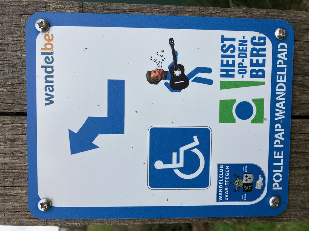
 signage
The route is fully signposted with thematic signs (no nodes).
 Description
Free parking at Sportoase De Lo Lostraat 70A.
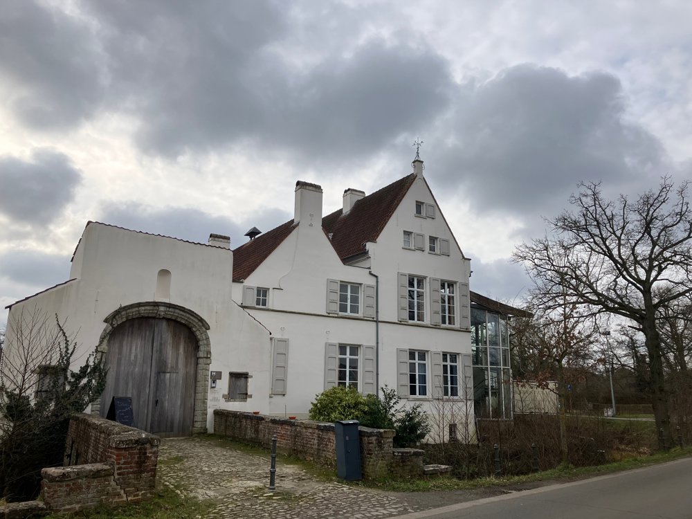
The path is an initiative of the local government and the IVAS walking club in collaboration with the mentioned people and entities, and it takes you past some beautiful spots in Heist-op-den-Berg, such as KSK Heist, the historic Hof van Riemen, the Bergbos with the water tower and wine bar Calle Gato, the beautiful hillside at "the golden triangle" with café 't Pleintje, the picturesque Church Square with the old Saint Lambert's church, etc.
Scan the QR codes on the signs (photo 1) so that under the guidance of the voice of the famous Heistenaar Paul Michiels, you discover which stories and fond memories these places evoke in him. Because he used to go on milk rounds in Heist with his father, he gained the nickname Polle Pap. Years later, he became world-famous as a member of the music group Soulsister, who scored several world hits, including "The Way to Your Heart." And his heart is apparently still in Heist.
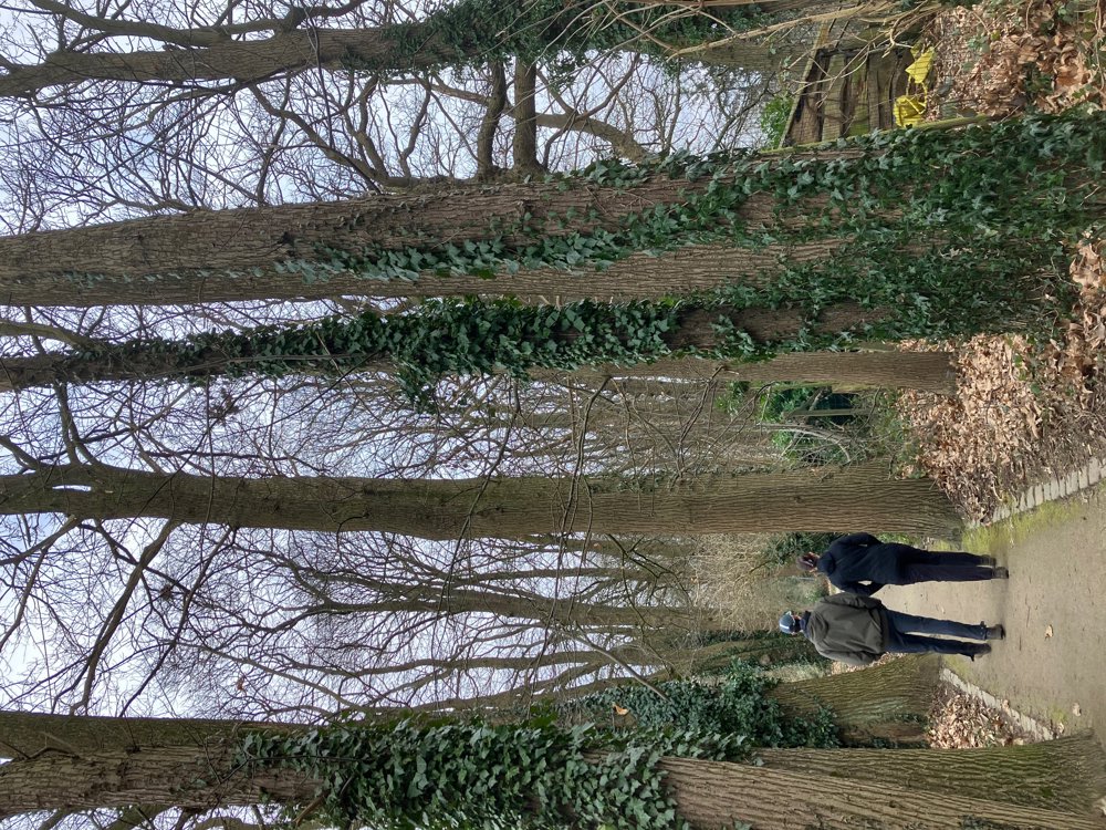
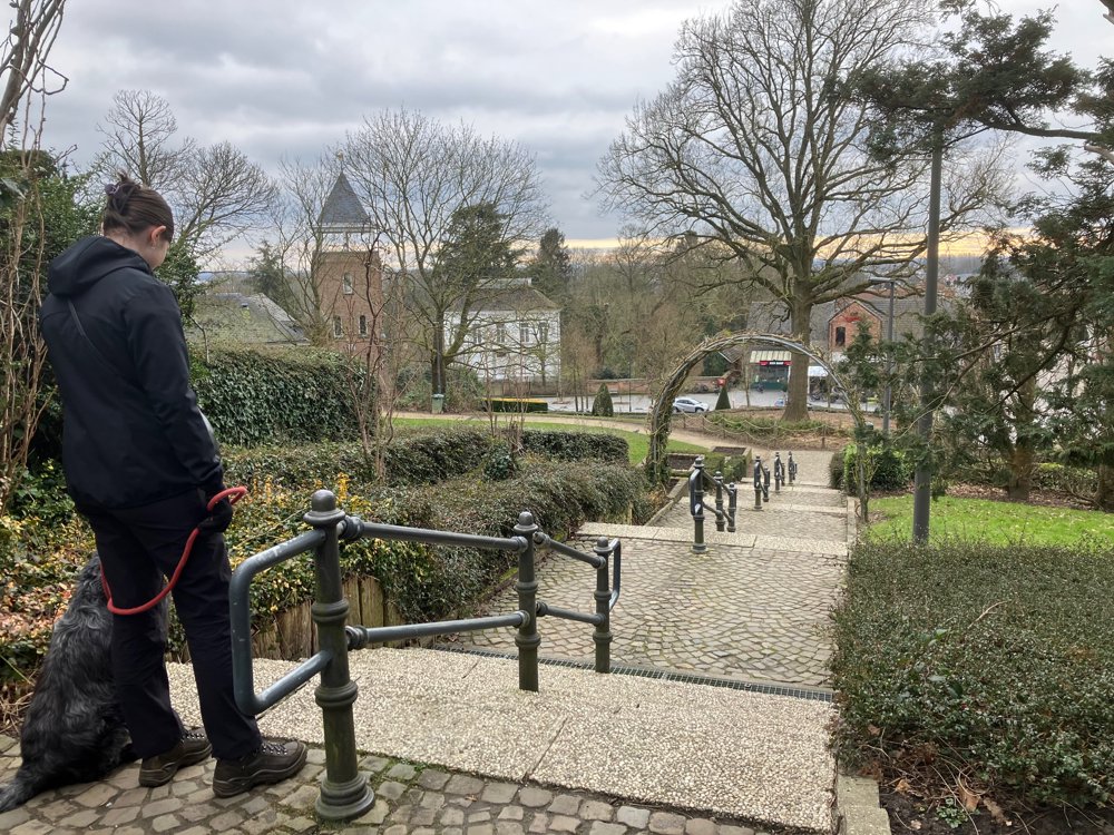
Alternating paved - unpaved
Some (stair) inclines.
Dogs welcome.
automatic translation


 Upgrade to Premium Plus
