 Hiking
 Login
Login
 More
More
 EN
EN
 Premium
Zonhoven: pond area Central Limburg
automatic translation
12.9 km • Zonhoven
1.1812 3 3/5

 Addresse starting point (approximate)
Bolderdal 9, 3520 Zonhoven, BE
 signage
The route is fully signposted with nodes.
 Description
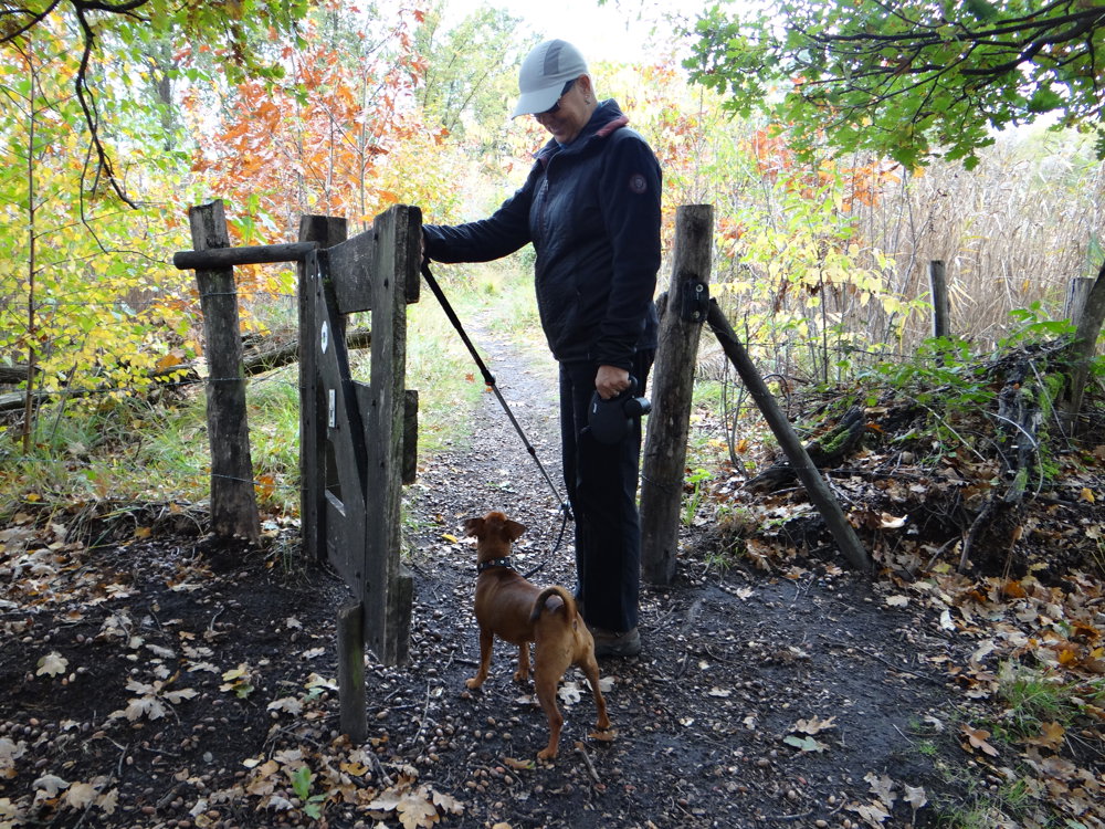
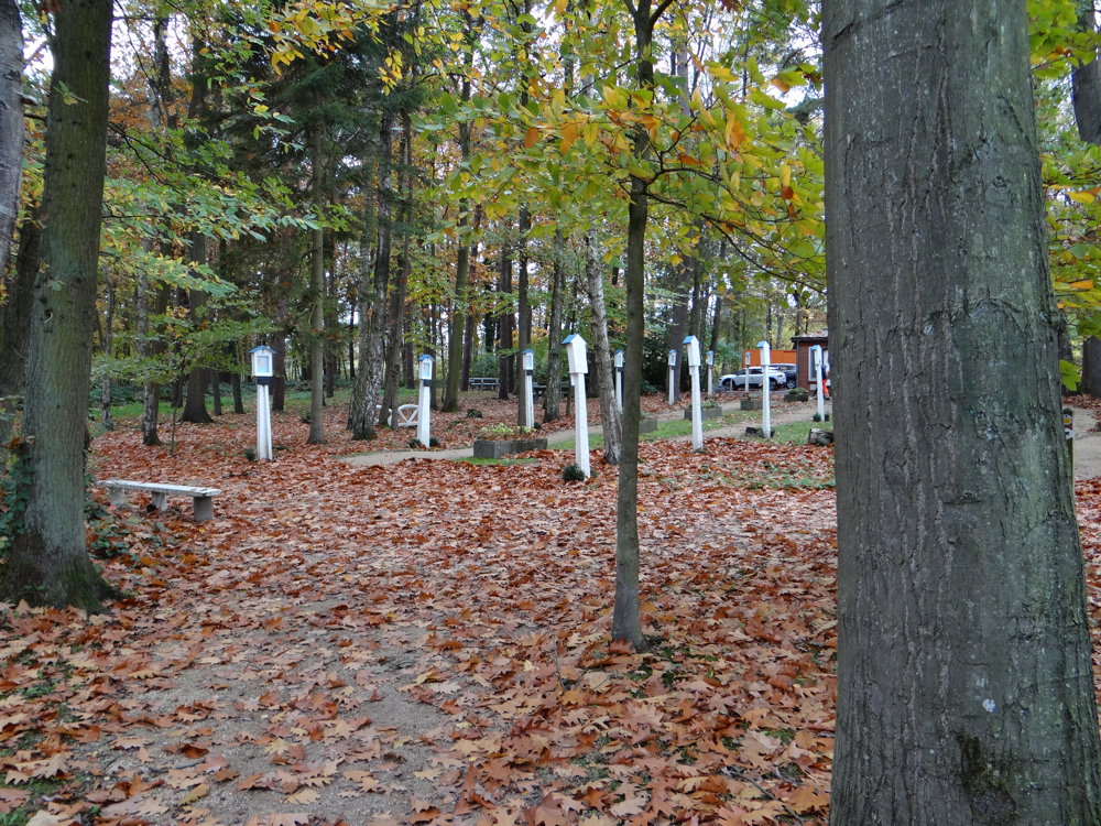
The pond area of Central Limburg is an impressive nature reserve in De Wijers, located in the heart of the Belgian province of Limburg.
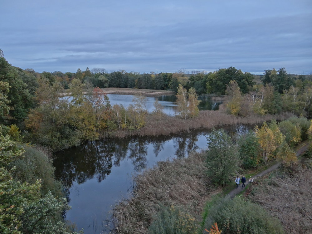
The area is situated south of the E314, east of the Albert Canal, and west of the railway line between Hasselt and Mol. It is the largest pond area in Belgium, with a total area of over 4,000 hectares.
The landscape is very forested and consists of both deciduous and coniferous trees, but also valuable agricultural areas. In addition, it offers a great variety of fauna and flora.
In this area, there are approximately 1,175 ponds, also known as "wijers," with a total water surface area of 700 hectares. One of the most famous hiking areas in this region is the Platwijers near Zonhoven.
More photos: https://photos.app.goo.gl/W1j4kY7VySfhPU8Y7
Happy hiking,
Eddy, Rita, and Prinske
automatic translation
 nodes to follow
0 km
0.1 km
0.5 km
3.1 km
3.9 km
4.7 km
4.7 km
4.7 km
6.5 km
7.8 km
8.5 km
9.9 km
10.6 km
11.8 km
12.9 km
Sunday, March 1, 2026 by Eddy & RitaUnfortunately, this route received a low score due to its (former) starting point. The starting point has been changed. As far as we are concerned, this route deserves 5 stars.
automatic translation
Wednesday, September 10, 2025 by Tamara DefermeHello, residents of Hendriksteeg 6 here. we would really appreciate it if our address would no longer be taken as the starting point. The starting point of this hike is either at heidestrand parking or at bolderdal parking. Could you please change this as soon as possible, Thanks!
automatic translation
Friday, September 12, 2025 by Eddy & RitaDear Tamara, we apologize for the inconvenience. The departure of the route has been modified.
automatic translation
Saturday, April 12, 2025 by Hugo Van achterennice route could be a little more unpaved. It is easier to start at the parking lot of Heidestrand campsite.
automatic translation
Sunday, April 13, 2025 by Eddy & RitaThank you for your response.
automatic translation
Wednesday, September 10, 2025 by T.D.Thanks. Hendriksteeg 6, our address, is also not the starting point.
automatic translation


 Upgrade to Premium Plus
