
 Hiking
 Login
Login
 More
More
 EN
EN
 Premium
Kerkhoven 'Along the Canal of Beverlo'
automatic translation
11.8 km • Lommel
8052 1 4/5

 Addresse starting point (approximate)
Kerkhovensesteenweg 426, 3920 Lommel, BE
 signage
The route is partially signposted with nodes. Use a GPS device or our app to follow the route.

 Description
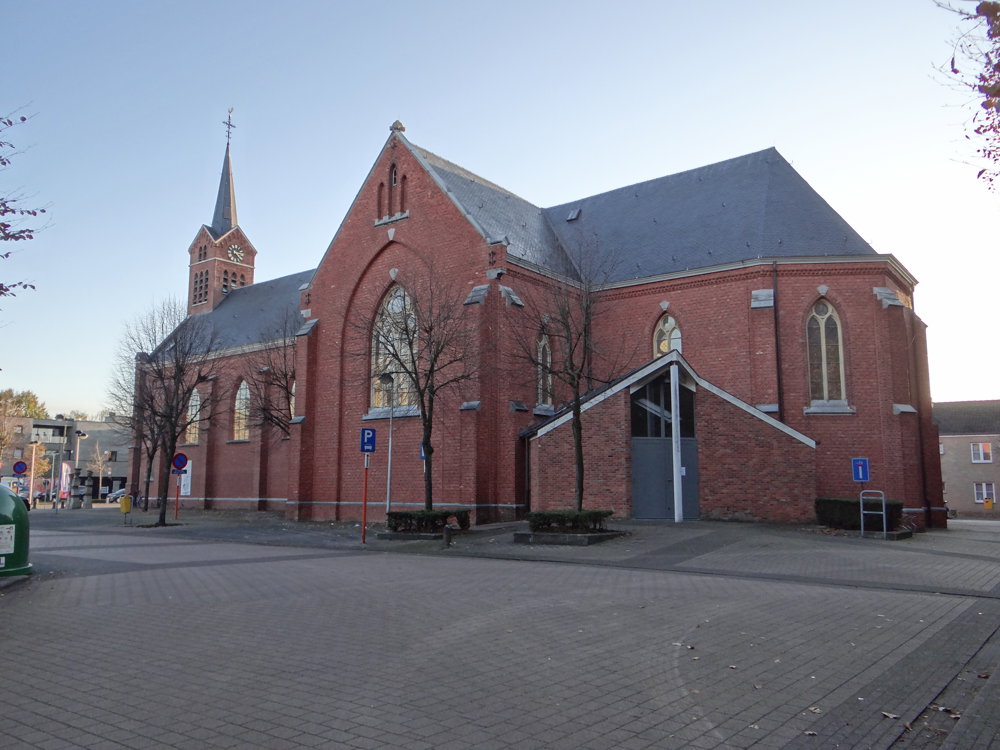
Beautiful walk that starts at the church of 'Kerkhoven'.
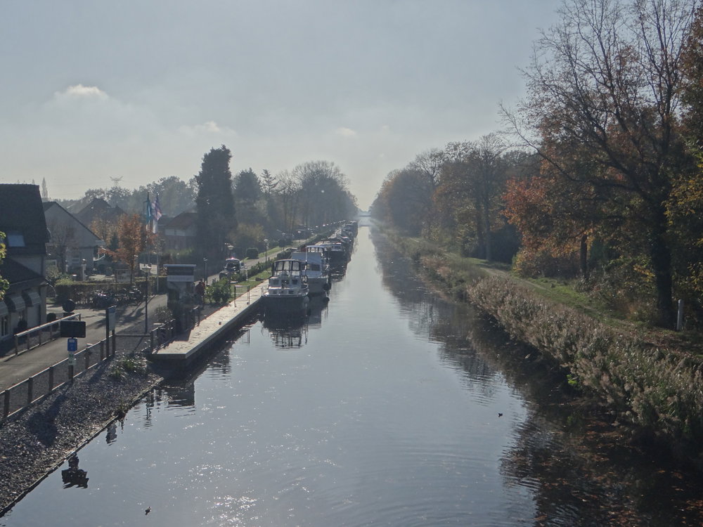
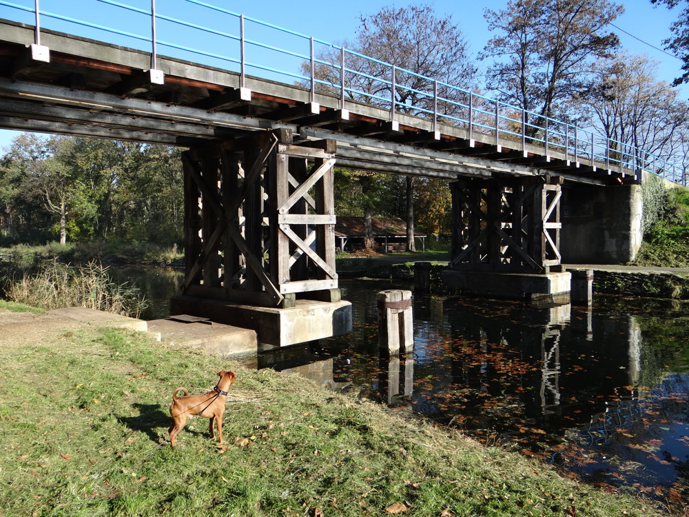
From the spacious parking area, you head towards the 'Beverlo Canal'. Upon reaching the canal, you will see the 'Yachtclub De Blauwe Reiger'. The walk continues towards the small bridge, an iron and wooden bridge, which you cross to follow the other bank of the beautiful canal for about 2 km.
Afterwards, you cross the canal again to walk via the hamlet 'Gelderhorsten' towards 'Kattenbos'. The Kattenbos is followed along the forest edge. The Kattenbos is left behind to continue a bit further along paved roads to reach the 'Pijnven Domain Forest', which is also followed along the forest edge.
Then you complete the loop by walking back through the streets to the church of Kerkhoven.
More photos: https://photos.app.goo.gl/zK9ekM2aw3o3ZVqT7
Happy walking,
Eddy, Rita, and Prinske
automatic translation
 nodes to follow
0 km

0.3 km
0.6 km
0.8 km
0.8 km
0.8 km
3 km
3.2 km
3.2 km
3.5 km
4.3 km
5.5 km
6.2 km
6.9 km
7.1 km
8.4 km
8.5 km
8.9 km
9.1 km
9.2 km
9.3 km
10.2 km
11 km
11.4 km
11.6 km

11.8 km
Friday, April 3, 2026 by STIJN VANSLEMBROUCKA beautiful walk, featuring a variety of heathland, woodland, and paths along the water, with half the route on unpaved surfaces
automatic translation
Tuesday, April 21, 2026 by Eddy & RitaThank you for your comment. Enjoy your walks!
automatic translation



 Upgrade to Premium Plus


