 Hiking
 Login
Login
 More
More
 EN
EN
 Premium
Overpelt play forest Holven
automatic translation
7.6 km • Pelt
5681 0 0/5

 Addresse starting point (approximate)
Luikersteenweg 2, 3920 Lommel, BE
 signage
The route is partially signposted with nodes. Use a GPS device or our app to follow the route.

 Description
As the car had to be taken to Carglass and the repair would take about 1.5 hours, we looked up wandelknooppunt.be. There was a network of routes, but it didn't pass by Carglass. So we adjusted the route ourselves, and it worked out well for us.
We made a virtue of necessity, and the weather was on our side too. What more does a hiker need?
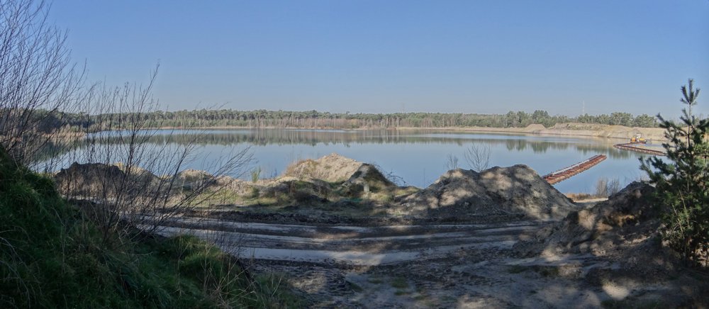
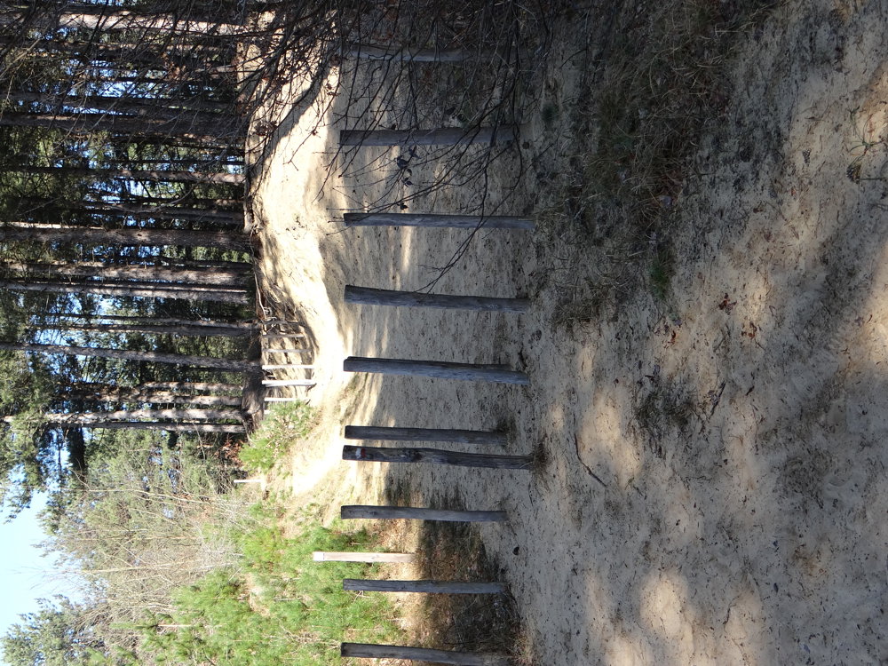
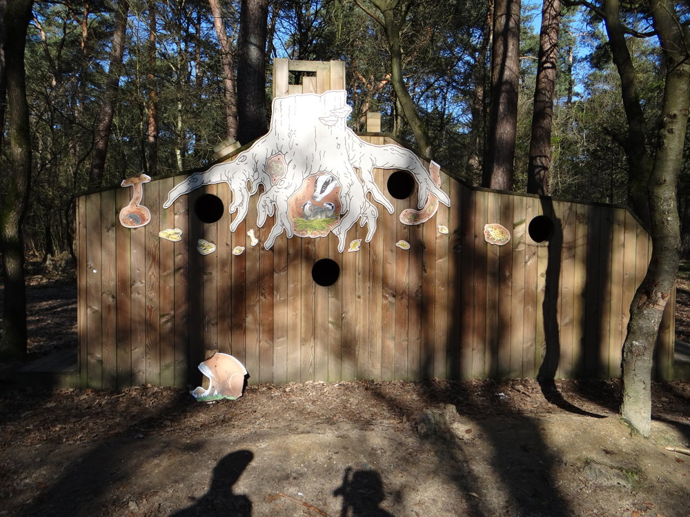
The walk goes through the beautiful play forest Holven and along the sand extraction pit in the Kattenbos at Lommel. About the play forest Holven, visitlimburg.be says the following: “In this play forest, children can play to their heart's content: drag branches, climb and scramble... There are plenty of play opportunities!”
More photos: https://photos.app.goo.gl/gcH8g7pZueduvh4c6
Happy hiking,
Eddy, Rita and Prinske.
automatic translation
 nodes to follow
0 km

1.4 km
1.7 km
2.1 km
2.5 km
2.5 km
2.8 km
3.2 km
3.6 km
4.3 km
4.5 km
5.4 km
6.2 km
6.7 km
7 km
7.4 km

7.7 km


 Upgrade to Premium Plus
