
 Hiking
 Login
Login
 More
More
 EN
EN
 Premium
Mol Southern Ring - Molse Nete
automatic translation
6.6 km • Mol
1.4222 1 3.5/5

 Addresse starting point (approximate)
Rivierstraat 11, 2400 Mol, BE
 signage
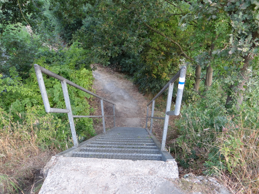
The route is partially signposted with nodes. Use a GPS device or our app to follow the route.
 Description
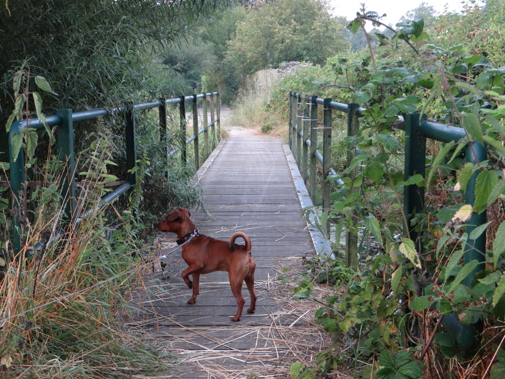
We have called this beautiful varied walk 'Mol Zuiderring - Molse Nete' because it takes the hiker quite a distance along the Zuiderring and the Molse Nete.
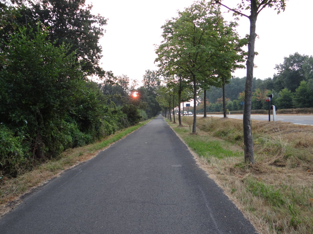
The Zuiderring is followed on a wide car-free bike path, namely the St. Janstraat and the Vogelzangstraat which are located next to the ring. If you only look to the right, you see the relatively busy traffic of the ring, look to the left, you see a natural area with very varied vegetation. At this time of the year (July), you can pick delicious blackberries there. The contrast between the ring and nature stimulates the senses!
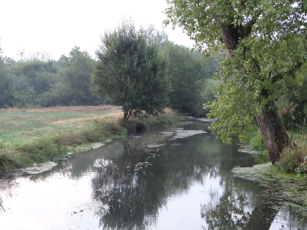
When leaving the ring, you come along the Molse Nete, which you have already crossed once in Mol Ginderbroek. The Molse Nete flows along the center of Mol and this is evident by the many small bridges over the Nete.
More photos: https://photos.app.goo.gl/ZDxyhmx7AiB6nMUL6
Happy hiking,
Eddy, Rita and Prinske
automatic translation
 nodes to follow
0 km

0.2 km
0.5 km
1 km
1.2 km
1.8 km
3.8 km
4.8 km
5.9 km
5.9 km
6.6 km



 Upgrade to Premium Plus


