 Hiking
 Login
Login
 More
More
 EN
EN
 Premium
The Many Faces of Bergen op Zoom
automatic translation
25.2 km • Bergen op Zoom
9851 0 0/5

 Addresse starting point (approximate)
Schorrenkruid 83, 4617 JH Bergen op Zoom, NL
 signage
The route is fully signposted with nodes.
 Description
Park for free near the Ansjovislaan. Alternative: train pt 20
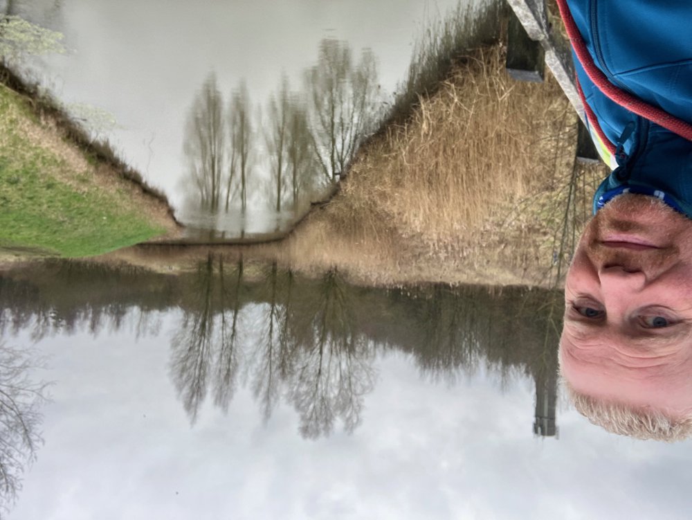
You set off along the windy Binnenschelde to further explore the Markiezaatsmeer and the polder area of Kraaijenberg. This former military air watch post can now be used to admire the lake from above (observation tower) or to spot birds such as the spoonbill.
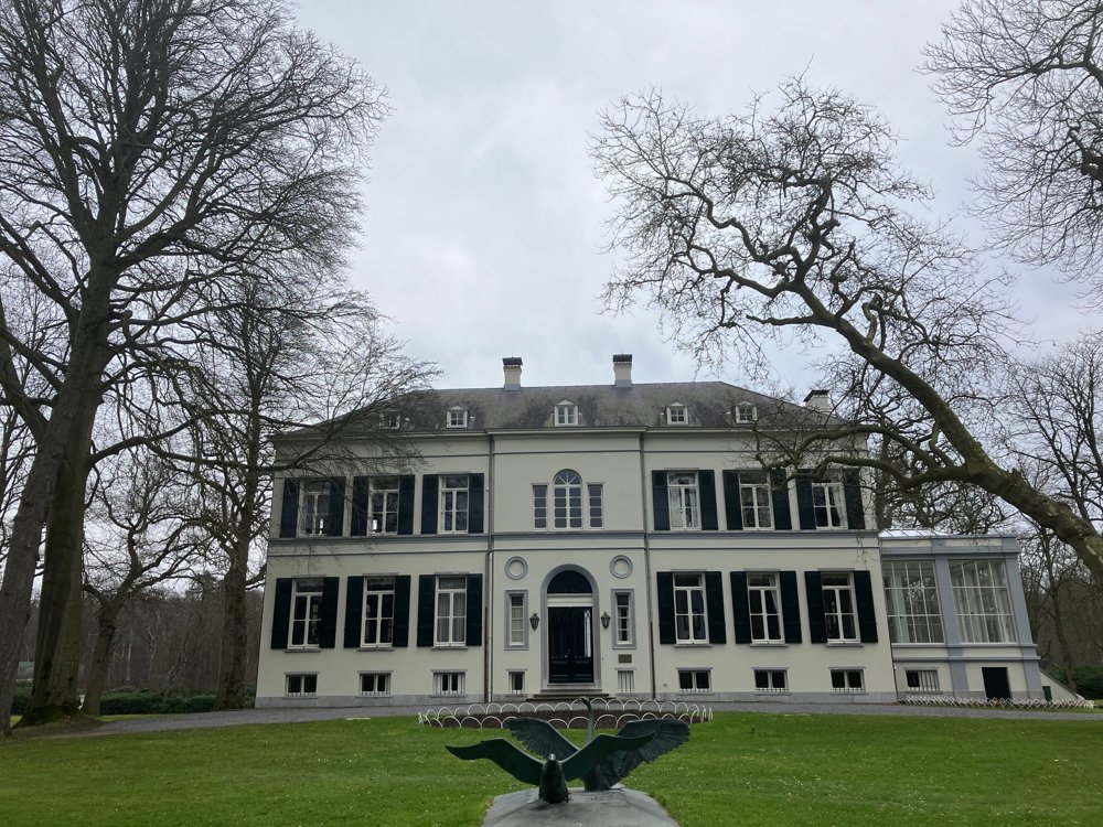
Make a detour a bit further on into the beautiful garden of Landgoed Mattemburgh and enjoy a drink or snack in the chic orangery.
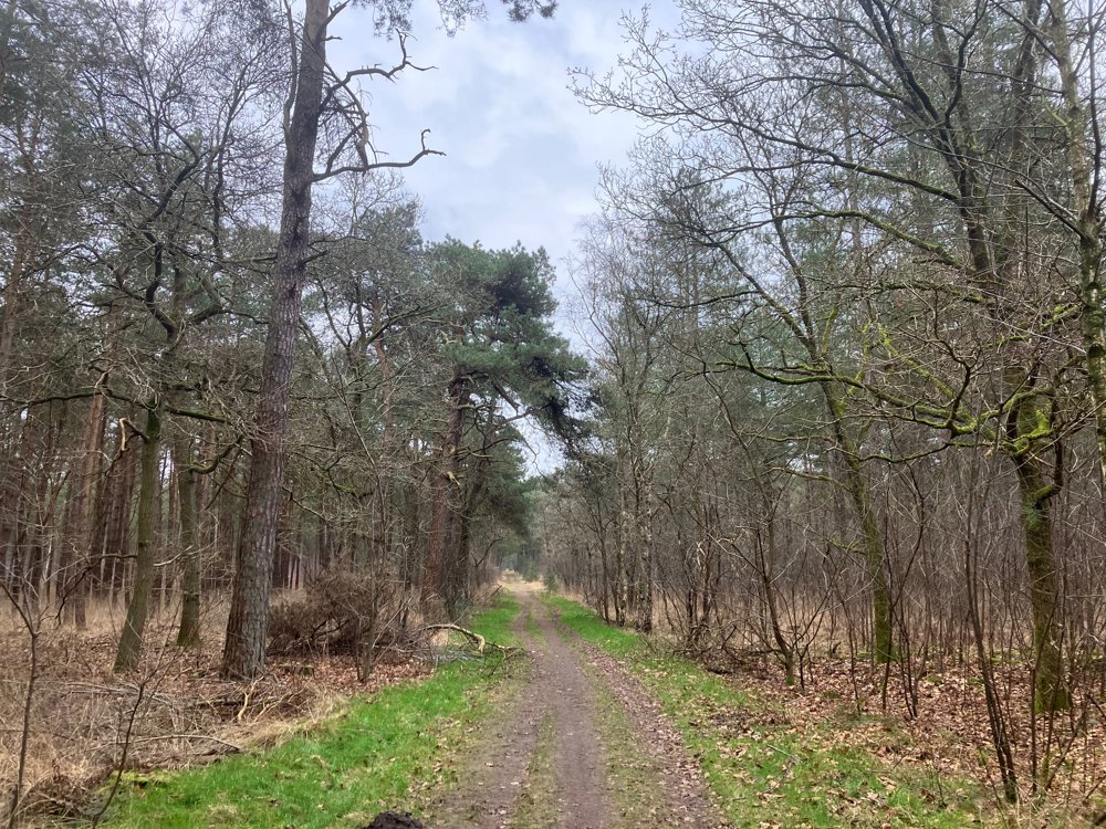
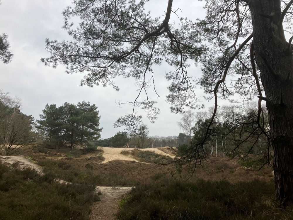
Cross the A4 via the "memorial tunnel" to discover the adjacent nature area of the Brabantse Wal, the Woensdrecht Heath, and Landgoed Lievensberg. This totally different environment from the waterside forms an oasis of peace and relaxation with its farms, forests, sand dune areas, and recreational opportunities.
Finally, walk back through the lively heart of Bergen op Zoom to end along the beautiful Scheldeboulevard where it all began.
Catering point 8/42/36 + center
Dogs welcome
Walking shoes recommended
automatic translation
 nodes to follow
0 km
2.8 km
3.1 km
4 km
4.5 km
4.9 km
5.6 km
5.7 km
6 km
6.8 km
7.4 km
7.5 km
8.3 km
8.5 km
8.6 km
8.7 km
9.7 km
10.3 km
11 km
11.4 km
11.6 km
13 km
13.3 km
16 km
16.2 km
16.3 km
16.8 km
17.1 km
17.3 km
17.4 km
20.5 km
20.9 km
21.1 km
21.4 km
22.3 km
23.2 km
23.4 km
25.2 km


 Upgrade to Premium Plus
