 Hiking
 Login
Login More
More EN
EN Premium
Webbekoms Pants Walk - Red
automatic translation
9.1 km • Diest
 official route
1.4130 2 4.2/5
route offered by
 Addresse starting point (approximate)
Bezoekerscentrum Webbekoms Broek, Omer Vanaudenhovelaan 48, 3290 Diest
 signage
The route is fully signposted with nodes.
 Description
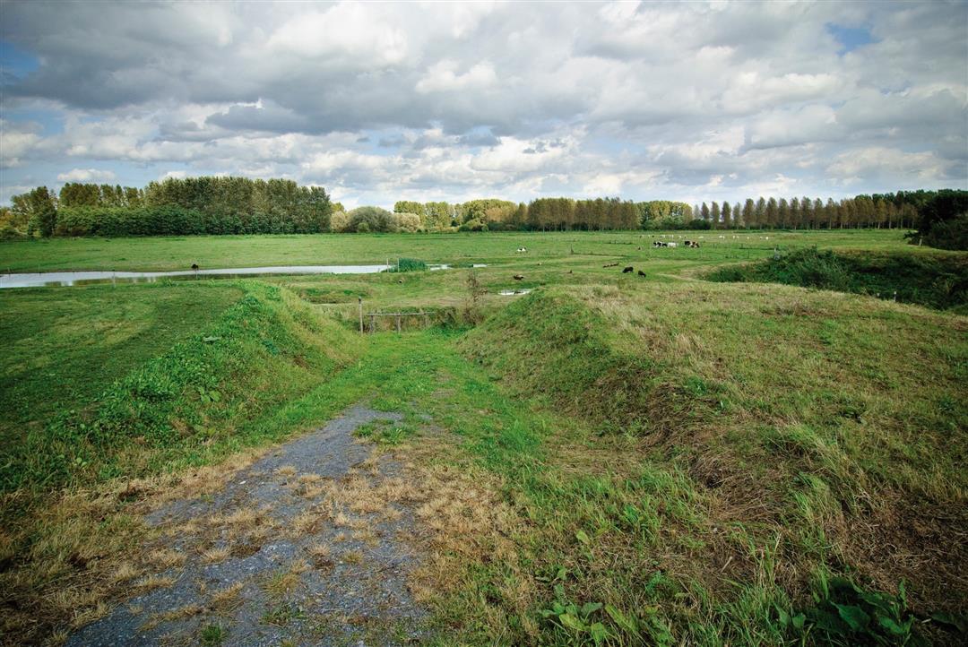
Discover the beautiful nature reserve Webbekoms Broek. You walk through the crossing area for the Demer and Velpe rivers between a patchwork of hay meadows, grasslands, wet forests and reed beds. The area is a European protected area under the Birds Directive due to the presence of endangered species such as the stonechat and the bluethroat. Finally, you can visit the Halve Maan provincial domain where there is plenty to do.
Follow the junctions of the Wandelnetwerk de Merode or the signposts with the red triangle.
This walk is offered by Tourism Flemish Brabant.
automatic translation
 nodes to follow
0 km
1.2 km
1.3 km
3.1 km
6.1 km
6.9 km
8.2 km
8.5 km
9 km
Thursday, October 22, 2020 by V.S.Walk done on Sunday 11.10.2020. Beautiful hike, worth repeating. Not hilly.
automatic translation
Sunday, August 23, 2020 by Jo WeckxBeautiful trip over the Diest ramparts (wooded, ponds). This gives a spectacular view. Continue this way along the pants. You walk for a bit on the old streetcar bed.... Be careful in full sun this part is quite hot. The Demer is nearby. You pass the provincial domain "De Halve maan". Bring your swimming gear and make a day trip of it.
automatic translation


 Upgrade to Premium Plus
