 Hiking
 Login
Login
 More
More
 EN
EN
 Premium
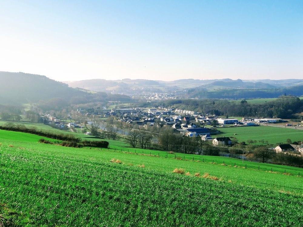
Ettelbruck with a view of the Sûre and beautiful surroundings
automatic translation
12.3 km • Ettelbruck
2010 0 0/5

 Addresse starting point (approximate)
Rue Du Cimetière 2, 9083 Ettelbruck, LU
 signage
The route is not signposted. Use a GPS device or our app to follow the route.
 Description
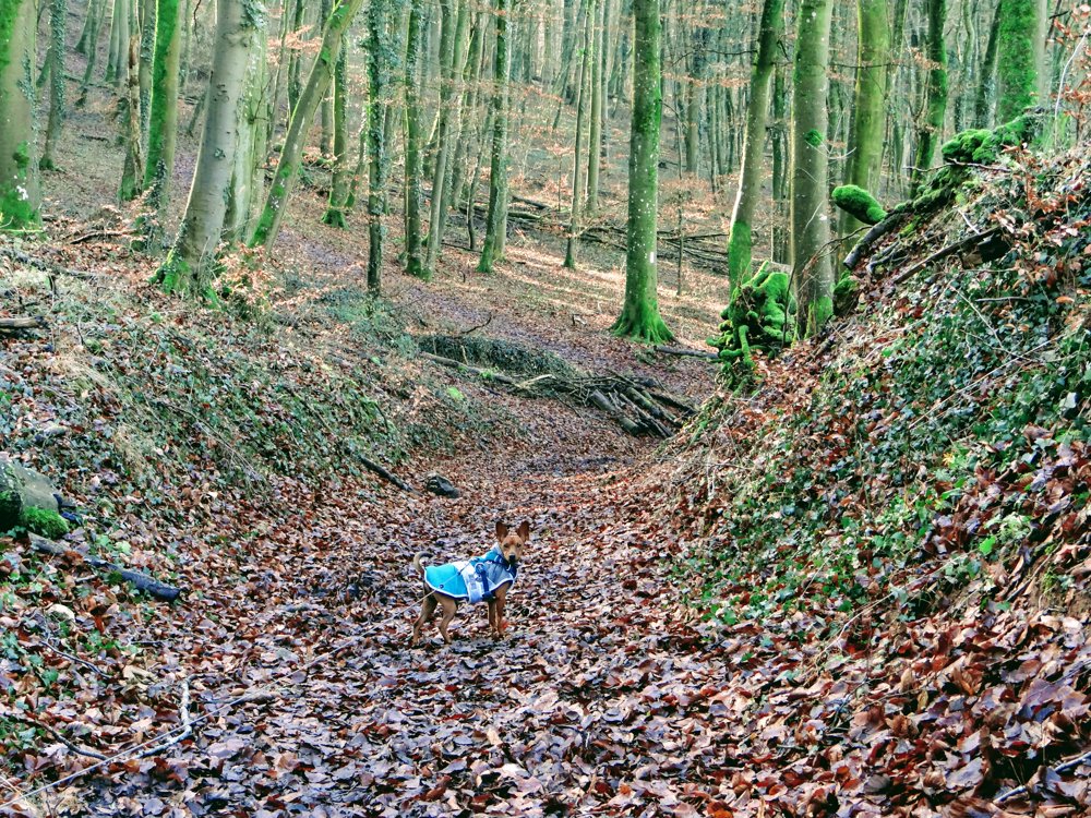
This walk is a combination of different hikes we have done before, with a small VTT/MTB tour included.
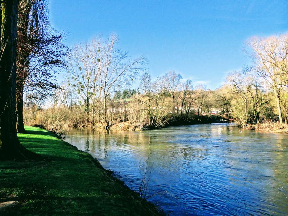
The departure is at the cemetery of Ettelbruck. We did it counterclockwise, which first took us over about 2 km from 219m to 363m through orchards and fields. A steep climb indeed. After that, it remains fairly flat before descending into the Sûre valley.
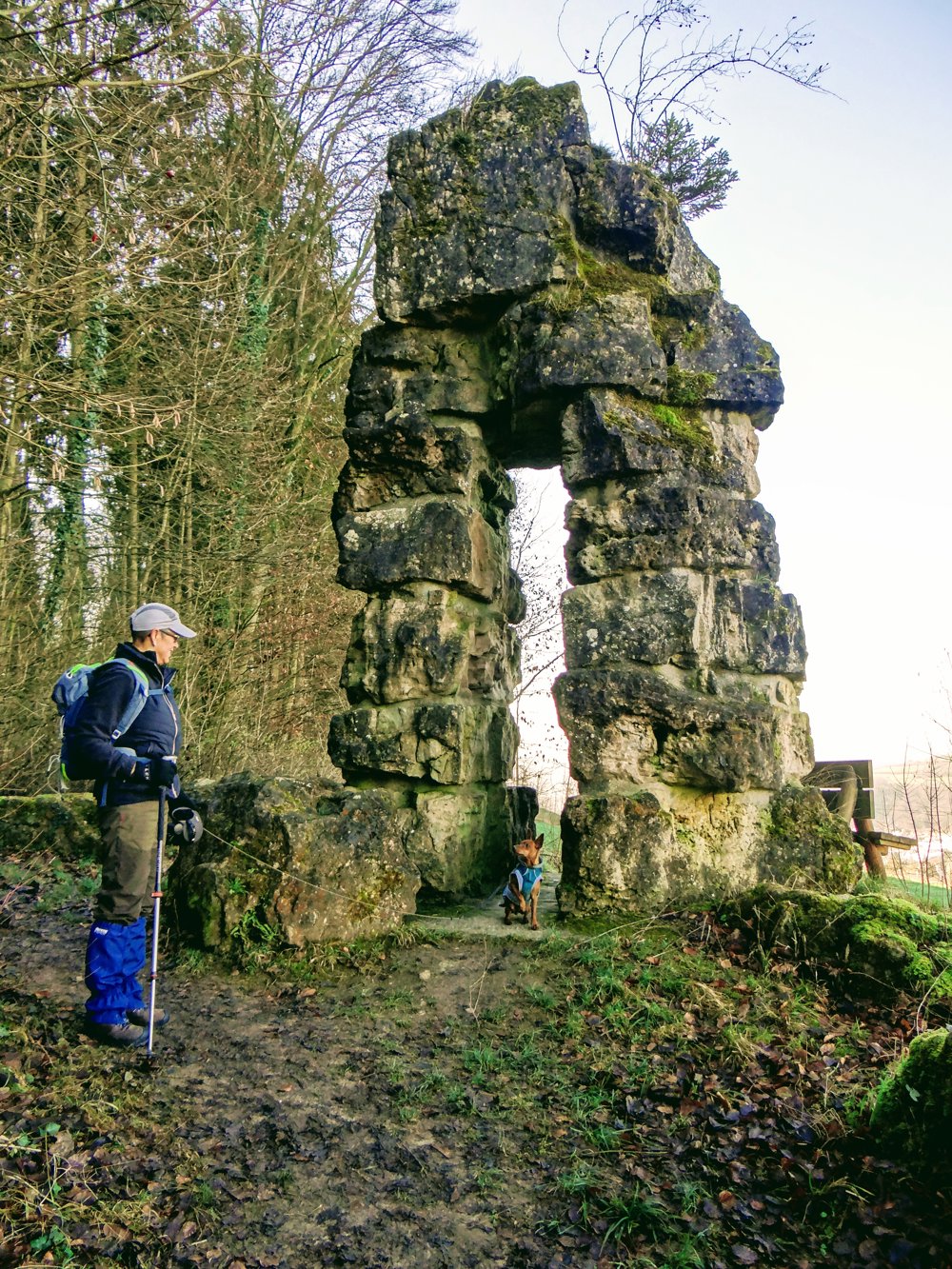
The walk passes by the 'Deiwelselter' (devil's altar).
More photos: https://photos.app.goo.gl/Mgf6CAK9P9UWnE3t7
Happy hiking, Eddy, Rita, and Prinske
automatic translation


 Upgrade to Premium Plus
