 Hiking
 Login
Login
 More
More
 EN
EN
 Premium
from Leest to Kapelle-op-den-Bos
automatic translation
11.9 km • Mechelen
1.3083 0 0/5

 Addresse starting point (approximate)
Ten Moortele 2, 2811 Mechelen, BE
 signage
The route is not signposted. Use a GPS device or our app to follow the route.
 Description
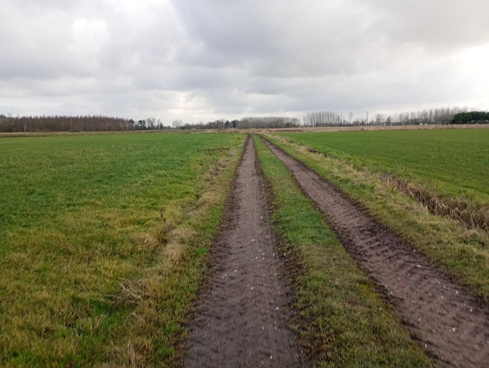
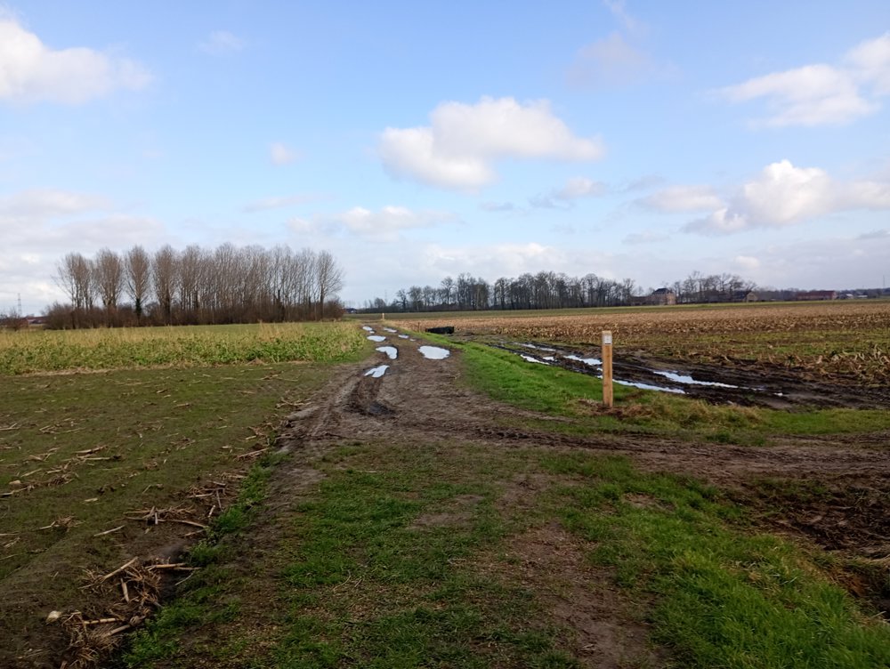
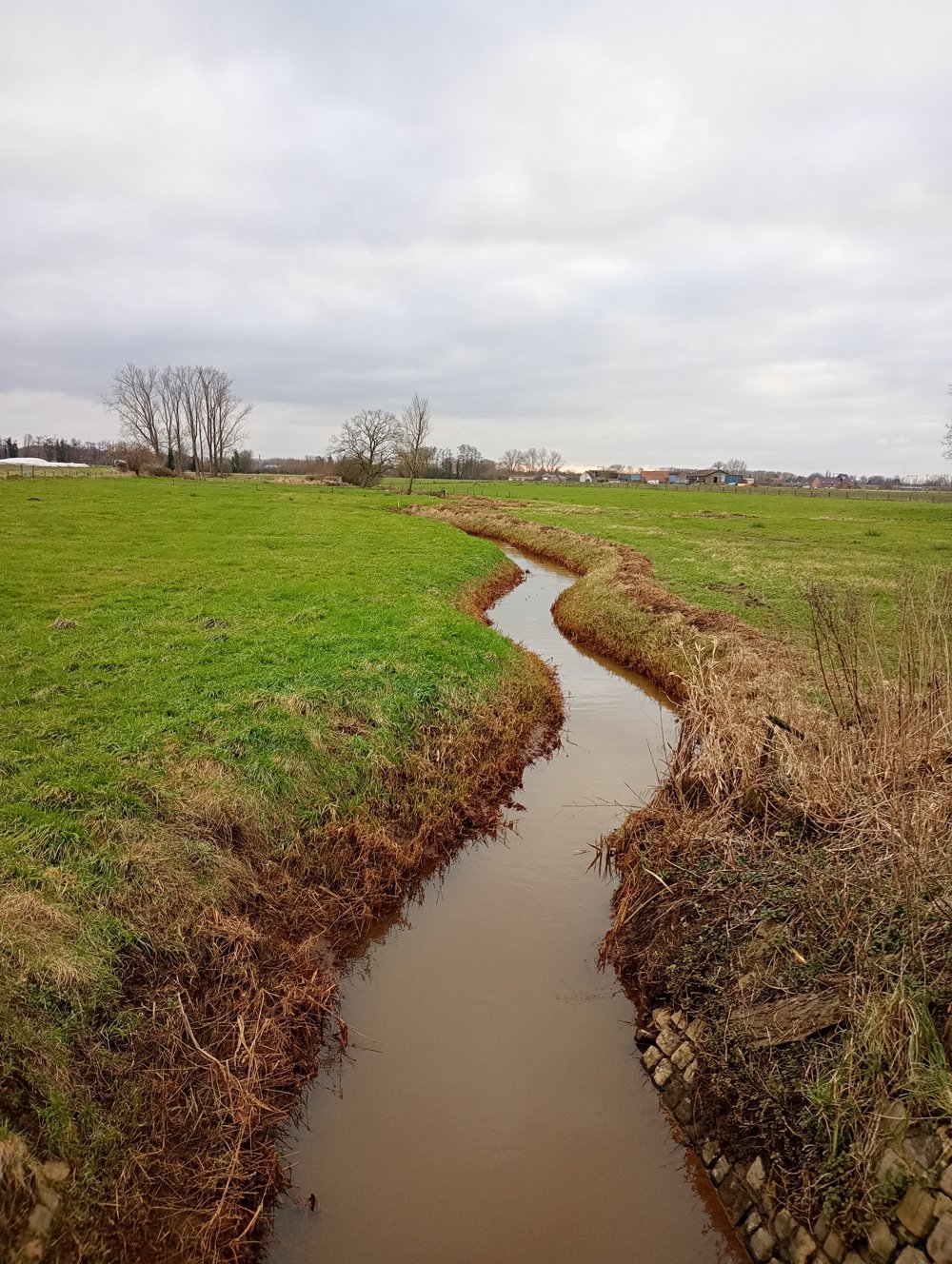
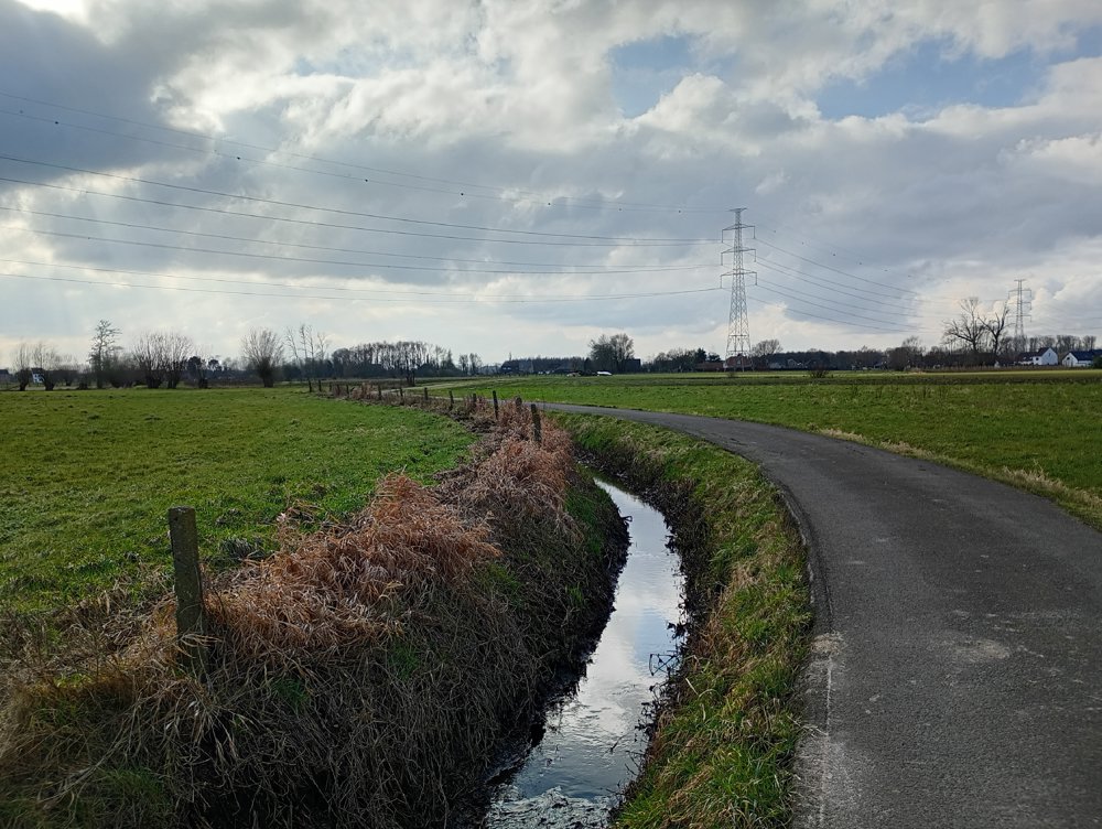
Departure from the Sint-Nicholas Church in Leest, a village that has always been an agricultural community. Thanks to the fertile soils, it is pleasant to walk along the Zenne and crisscross through the many (vegetable) fields, meadows, country roads, and towpaths, with the distinctive Brielen Bridge of Willebroek in the distance. This route takes you towards Kapelle-op-den-Bos through the plains of the agricultural area, entirely focused on vegetable cultivation. For those who remember the name on the vegetable tins 'Marie Thumas': this is the region of origin.
Approximately halfway, there is an opportunity for a sanitary stop in Kapelle-op-den-Bos.
automatic translation


 Upgrade to Premium Plus
