
 Hiking
 Login
Login
 More
More
 EN
EN
 Premium
Kravaal-Kartelowandeling
12.8 km • Asse
 official route
6.70226 12 4.4/5
route offered by

 Addresse starting point (approximate)
Kerk Onbevlekt Hart van Maria, Dendermondsesteenweg 40, 1730 Krokegem (Asse)
 signage
The route is fully signposted with nodes.
 Description
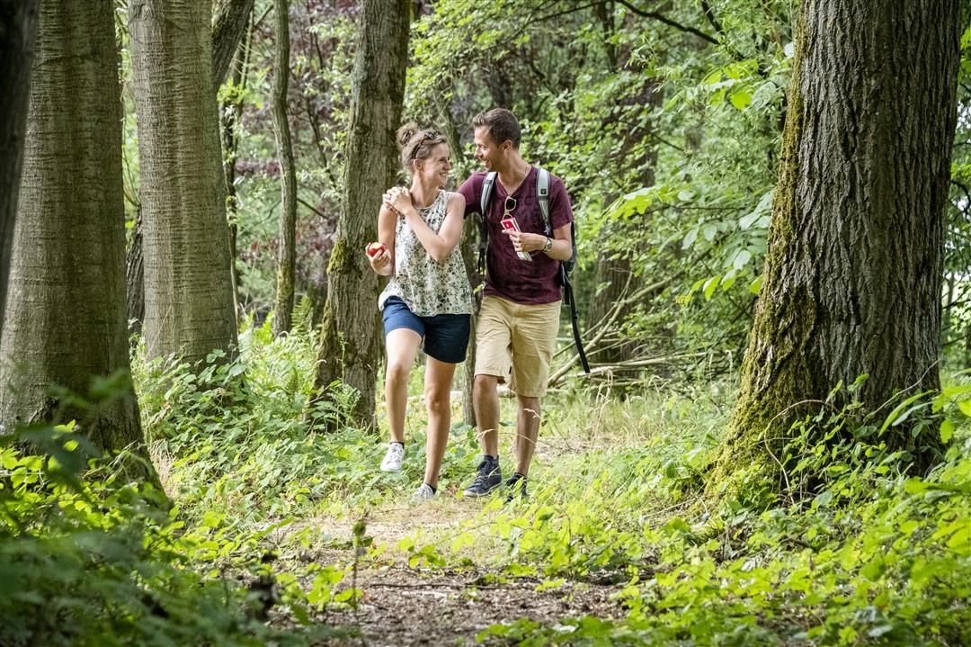
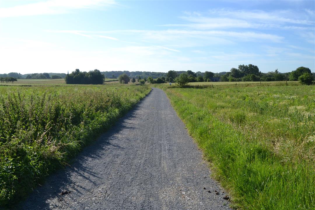
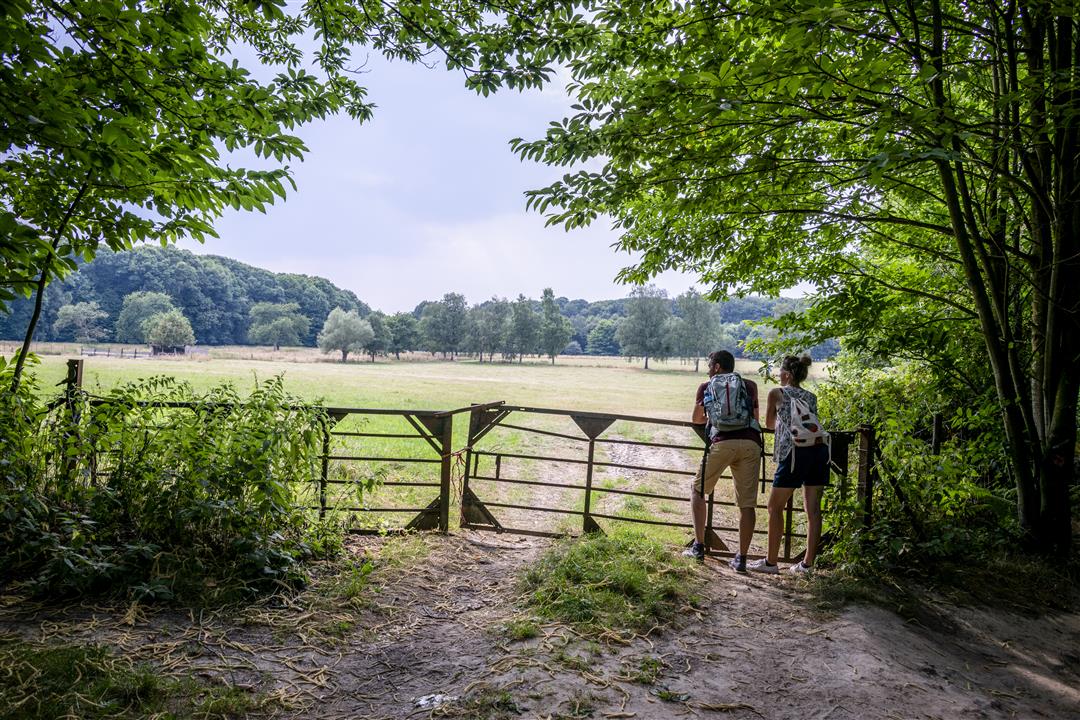
A countryside walk with beautiful views of the Pajottenland. Admire the historic farmhouses dotted throughout the landscape, such as the Hof ter Lange Bomen and the Verbrand Hof. You’ll also pass through two beautiful forests. The Kartelobos charms with its undulating paths and its purple carpet of blooming hyacinths in the spring. The Kravaalbos is more expansive and is colored not only purple by the hyacinths but also white by the wood anemones. Be careful, because if you step on the flowers, they won’t grow back next year.
automatic translation
 nodes to follow
0 km
0.7 km
2 km
2.4 km
3.2 km
3.8 km
4.4 km
5 km
5.2 km
5.4 km
6.4 km
7.2 km
7.5 km
7.8 km
8.7 km
9.1 km
10.8 km
11.7 km
12.8 km
Sunday, August 3, 2025 by Jonathan Van BrandtVery nice walk. Plenty of parking at the start. Fun to do with the dog.
automatic translation
Saturday, August 2, 2025 by D.K.Pleasant, rolling and varied hike through fields and forests. I enjoyed it. You too?
automatic translation
Sunday, May 4, 2025 by Sophie TaelemansTook this hike with my husband on may 1 this year. Very beautiful, with varied stretches. i do think, if it rains, there are quite muddy stretches. Halfway through the walk you come across De Kleine Deugd, where we were very warmly welcomed on the terrace to have a drink. highly recommended!
automatic translation
Wednesday, March 12, 2025 by G.V.Did this hike again on a spring day in March . Find this a beautiful hike with fields and forests and hilly. If you come from the flat Zele this is an outlier. Two very nice forests too. Also a compliment for the good signposting!
automatic translation
Wednesday, November 27, 2024 by N.V.Very nice route, highly recommended.
automatic translation
Sunday, October 23, 2022 by B.K.On this (warm) 23rd October, this hike did us a great favor. It is very varied; sometimes you walk on paths along houses but you always enjoy the nature in this beautiful region with its beautiful landscapes and forests.
automatic translation
Wednesday, January 6, 2021 by Annelies Van regenmortelBeautiful hiking trail with lots of variety! Signage was fine, nowhere missing a sign in my opinion.
automatic translation
Friday, November 27, 2020 by J.D.this is definitely one of the more beautiful walks in this area
automatic translation
Saturday, November 7, 2020 by W.G.This is really not a special hike if you want to see a nice visual point during a hike as an occasional variation between the fields and one or the other forest , such as e.g. a beautiful farm, chapel, river, bridge, water mill,...None of that during this hike.
automatic translation
Tuesday, September 15, 2020 by J.D.a nice walk,along quiet roads in full nature, the piece through the forest was welcome because during our walk at noon it was above 30° , sorry that there was nowhere to picnic along the way as warned in the review
automatic translation
Wednesday, July 15, 2020 by Wilfried Van HoeckVery nice hike.
We left in Mazenzele at the church where you can find the necessary parking.
Spacious hiking trails on certain sections, very quiet along the way. Unfortunately no horica encountered along the way, so be sure to provide food and drinkK.
Best of all, you can hike each trail with an outdoor GPS device.
The trail is also only signposted in one direction. However, texting can cause problems along the way.
Top hike to do once.
automatic translation
Sunday, February 2, 2020 by Ralph DPRvery nice walking route
definitely recommended
on 02/02/20 it was very muddy, rain,
but many paths
lots of forest, little traffic
few times crossing the highway
on no 718 we were wrong , not clearly signposted ;it is not right turn as sign seems to say ...., but just walk straight , for the rest , very good !!!
will definitely do again !!!
automatic translation



 Upgrade to Premium Plus


