
 Hiking
 Login
Login
 More
More
 EN
EN
 Premium
Henri Roselethwandeling
5.9 km • Affligem
 official route
4.2096 4 2.9/5
route offered by

 Addresse starting point (approximate)
Sint-Michielskerk, Kerkstraat, 1790 Hekelgem
 signage
The route is fully signposted with nodes.
 Description
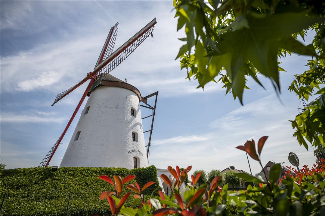
Henri Roseleth (1859–1939) was a pioneer in the study of Hekelgem’s village history. He was also an avid nature lover and, on this walk, he’ll show you the village’s most beautiful spots. On the Molenberg, the oldest windmill towers over the village, and you’ll pass the stately farmsteads Hof ter Saele and the Blakmeershoeve. Along the way, you’ll enjoy a magnificent panoramic view of the Asse region and the Dender Valley.
automatic translation
 nodes to follow
0 km
0.2 km
0.4 km
0.8 km
1.7 km
2.8 km
3.4 km
4 km
4.5 km
5.1 km
5.9 km
Monday, December 8, 2025 by C.M.NOTE: Starting point parking next to the church of Hekelgem = put in your GPS KASTEELSTRAAT in Hekelgem . Then there is no confusion possible. (Because if GPS sends you nr Kerkstraat 1 then you're 1.2km away from your starting point (church & parking).
automatic translation
Tuesday, March 30, 2021 by GILBERTE DE BLOCKDid the hike today using the nodes. The walk is not flat at all but sloping. The roads were clean for walking, but most of the walk was along the villa neighborhoods and between houses. Only the last part of the walk was in wide nature and beautiful. We only saw the 2 windmills from afar.
automatic translation
Sunday, June 21, 2020 by L.V.Nice walk but if you follow the signposts I only reach 4,5 km.A bit too little for me.The Henri Roseleth walk described on the sign at the church in Hekelgem is 10 km!
automatic translation
Sunday, November 10, 2019 by Eve Rosehttps://matrotteenclic.wordpress.com/2019/11/10/henri-roselethwandeling-hekelgem/
automatic translation



 Upgrade to Premium Plus


