 Hiking
 Login
Login
 More
More
 EN
EN
 Premium
Liedekerkeboswandeling
2.6 km • 1770 Liedekerke
 official route
2.1701 0 0/5
route offered by
 Addresse starting point (approximate)
Parking Eduard Schelfhoutstraat 188, 1770 Liedekerke
 signage
The route is not signposted. Use a GPS device or our app to follow the route through the virtual nodes.
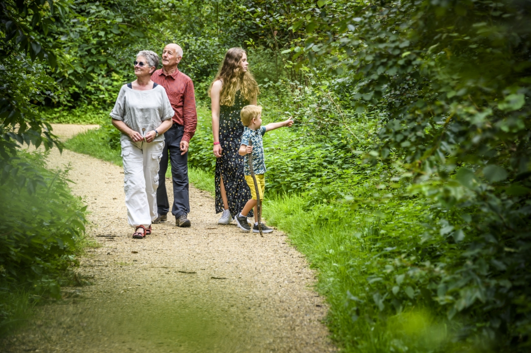
 Description
Nothing but nature on this accessible walk in Liedekerkebos. The flat, paved paths and the play area with a picnic spot make it very pleasant for both people with limited mobility and those with strollers. Nature and recreation go hand in hand here. And if you want to discover even more of this precious natural environment, you can venture deeper into the off-limits forest reserve. Who knows—you might even spot a honey buzzard or a slow worm.
automatic translation
 nodes to follow
0 km

0.3 km
0.3 km
0.8 km
1.5 km
1.8 km
2.3 km

2.6 km


 Upgrade to Premium Plus
