 Hiking
 Login
Login
 More
More
 EN
EN
 Premium
Fuussekaul: 12 km of natural enjoyment
automatic translation
12 km • Esch-sur-Sûre
950 0 0/5

 Addresse starting point (approximate)
Fuussekaul 4, 9156 Esch-sur-Sûre, LU
 signage
The route is not signposted. Use a GPS device or our app to follow the route.

 Description
This route starts at the Fuussekaul campsite in Heiderscheid.
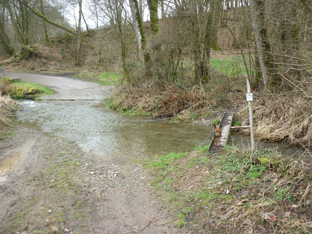
You first descend into the valley of the Mëchelbaach to cross it via a narrow bridge. In fact, it is nothing more than a steel beam. A steep climb takes you to the Schosselbierg, only to descend again into the same valley and cross the stream once more.
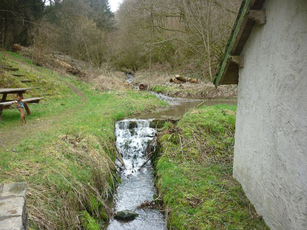
The walk continues upstream past a sewage treatment plant where the stream changes its name. It is now called Lirbech in the same valley. A little further on, you come to an old washhouse called Karlsbur. From there, you continue to ascend in the valley of the Lirbech until you reach a paved road, which you follow towards Heiderscheid.
You go through the fields until you reach the CR308, where you can already see Heiderscheid. You also get beautiful views of Merscheid and the surroundings. It's time to return to the campsite via Heiderscheid.
More photos: https://photos.app.goo.gl/iSb5Wr293n8TXCTb9
Happy hiking,
Eddy, Rita and Prinske
automatic translation


 Upgrade to Premium Plus
