 Hiking
 Login
Login
 More
More
 EN
EN
 Premium
Pintsch KI4, a hiking gem
automatic translation
8.6 km • Kiischpelt
1140 0 0/5

 Addresse starting point (approximate)
Ënneschte Wee 1, 9767 Kiischpelt, LU
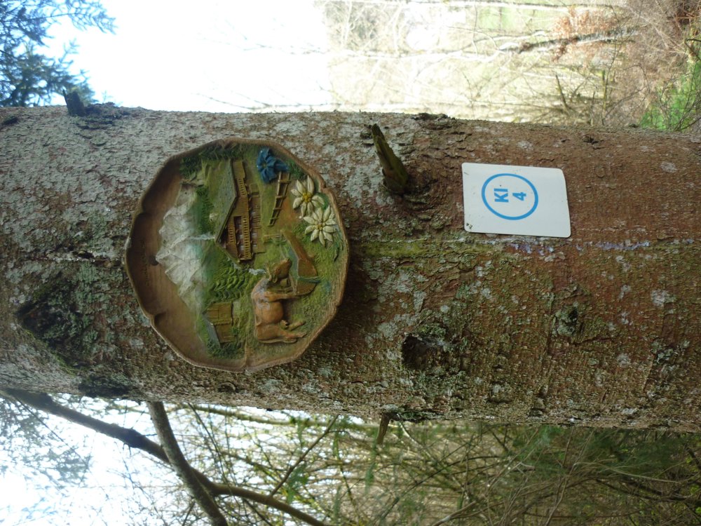
 signage
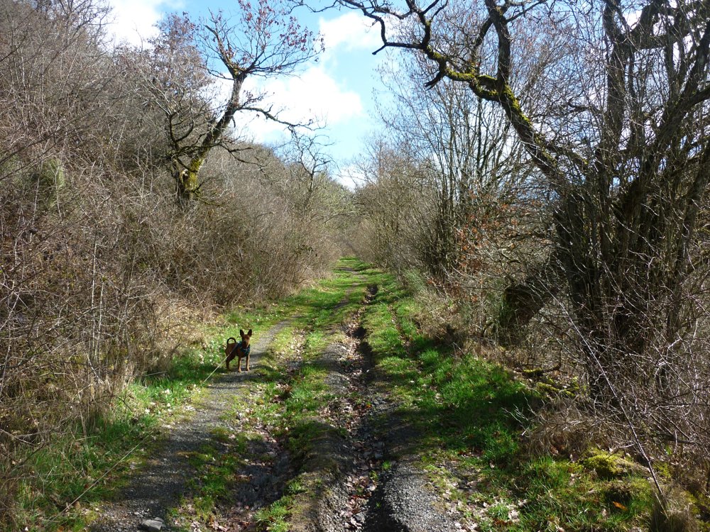
The route is fully signposted with thematic signs (no nodes).
 Description
Another gem from visit-eislek.lu!
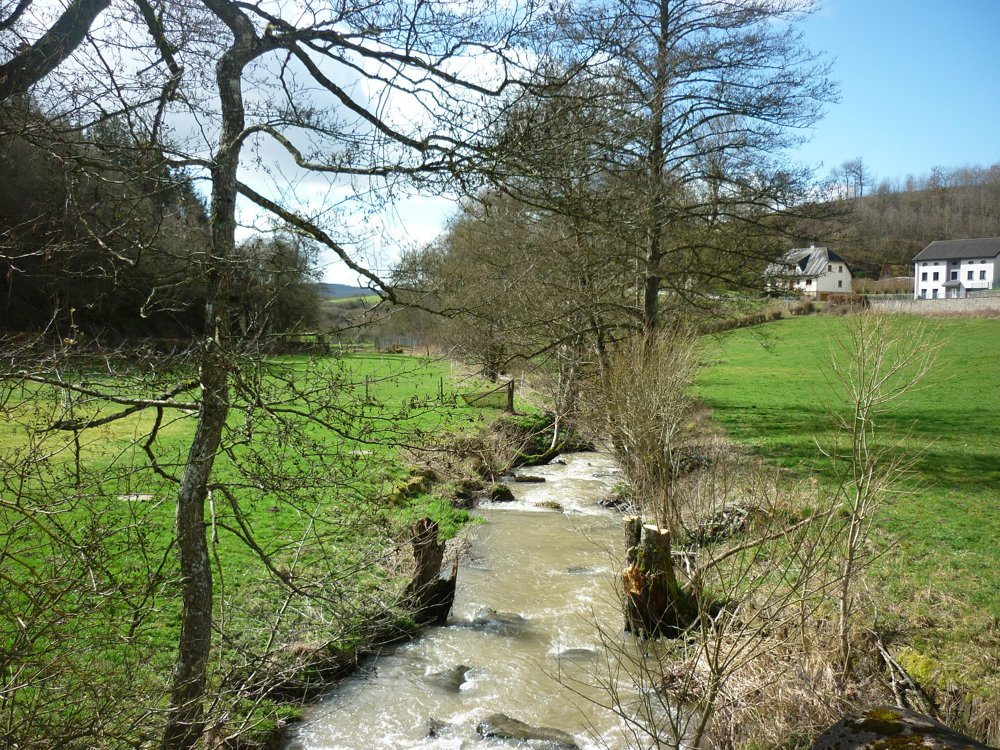
Park at the entrance of the village, where the walk begins. This well-marked route leads you counterclockwise through the valley of the Pënscherbaach. After a steep 2 km climb, you rise from 310 m to 450 m above sea level. Enjoy the beautiful views and wild daffodils.
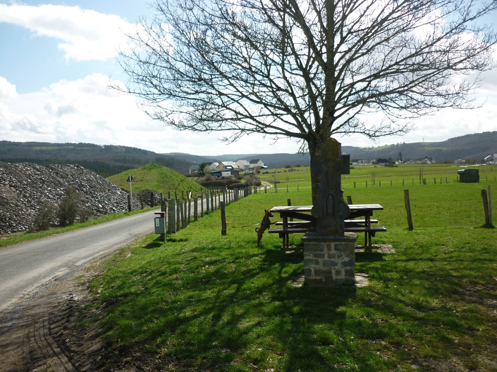
You then descend to Siebenaler in the valley of the Lamichtsbaach. Via paved and semi-paved roads, you return to Pintsch, enjoying views of villages, fields, and forests. Also visit the four alpacas in the center of Pintsch.
More photos: https://photos.app.goo.gl/yTRKPt2CYk5kKwJS9
Happy hiking,
Eddy, Rita, and Prinske
automatic translation


 Upgrade to Premium Plus
