
 Hiking
 Login
Login
 More
More
 EN
EN
 Premium
Kluiswandeling
8.8 km • Affligem
 official route
5.3968 3 3.7/5
route offered by

 Addresse starting point (approximate)
Cultureel Centrum Abdij Affligem, Abdijstraat 6, 1790 Affligem
 signage
The route is fully signposted with nodes.
 Description
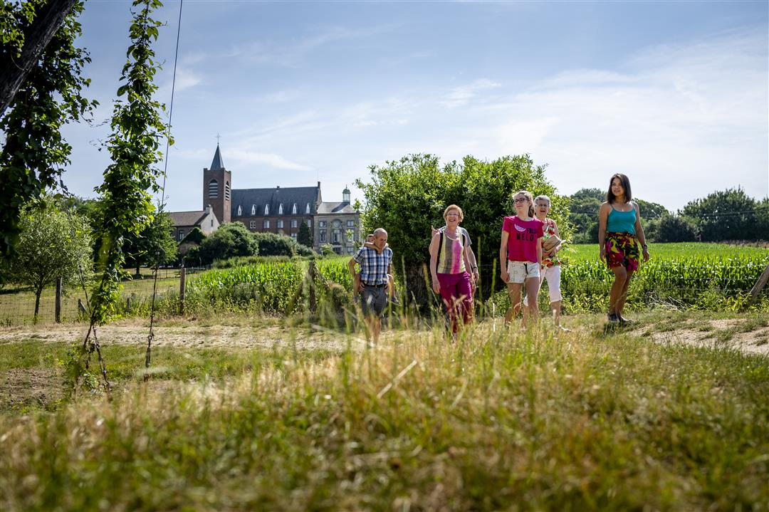
The Abbey of St. Peter and St. Paul in Affligem is the only Benedictine abbey in Flanders that is still inhabited by Benedictines nearly 1,000 years after its founding. The hop fields at its foot bear witness to the region’s rich history of hop cultivation. This is where your hike to the Domentse Woods and the Faluintjes nature reserves begins. The beautiful Kluis Chapel dates back to the seventh or eighth century; its stained-glass windows tell the legends of the Kluis.
automatic translation
 nodes to follow
0 km
0.3 km
0.6 km
1.6 km
2 km
2 km
3.6 km
4.1 km
5.6 km
6.1 km
7.1 km
7.2 km
7.9 km
8.8 km
8.8 km
Monday, January 25, 2021 by R.S.Beautiful walk but some parts were really not doable, there you sank into the mud up to your ankles.
automatic translation
Monday, October 19, 2020 by N.R.First km a bit tricky, no real walking path but then you leave the macadam and the walk takes you along the most beautiful views of Hekelgem: the old mill, the hermitage chapel,... with as a finale: view of the abbey from between the hop vines.
automatic translation
Saturday, June 20, 2020 by V.D.Nice start, the end a little less so because at one point you have to go onto the busy Brussels lane for a while
automatic translation



 Upgrade to Premium Plus


