Loading...

Eisden Maasmechelen Terhills

automatic translation

9 km • Maasmechelen

110 0 0/5

9 km 0.0 km 0.0 km

route offered by

Peter D'hont

Icon starting point Addresse starting point (approximate)

Damhertstraat 31, 3630 Maasmechelen, BE

Icon type signage of route signage

The route is signposted with thematic signs (no nodes). You can use a GPS device or our app to follow the route through the virtual nodes.

5m 5m 5m 5m
Atmosphere image 1 of route Eisden Maasmechelen Terhills Atmosphere image 2 of route Eisden Maasmechelen Terhills Atmosphere image 3 of route Eisden Maasmechelen Terhills
© Peter D'hont

Icon description route Description

Departure: Cemetery - Paul Lambertlaan - Eisden Maasmechelen

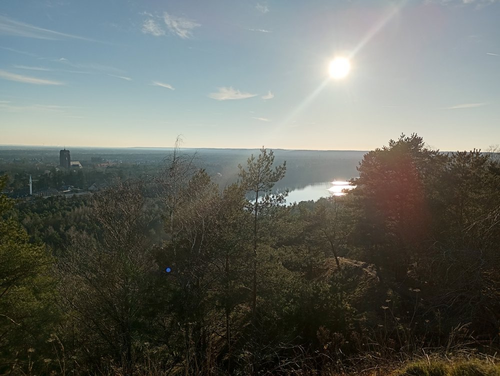
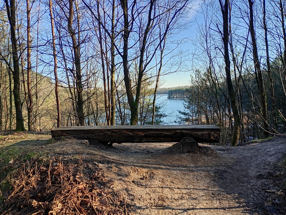
We walk along the lake, over the twin spoil heap and the Lange Terril. Here we have a beautiful view of the surrounding area. We also cross the Center Parcs Resort, where a sanitary stop can be made.

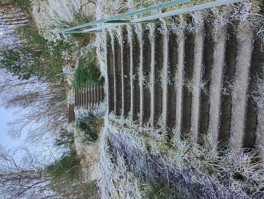
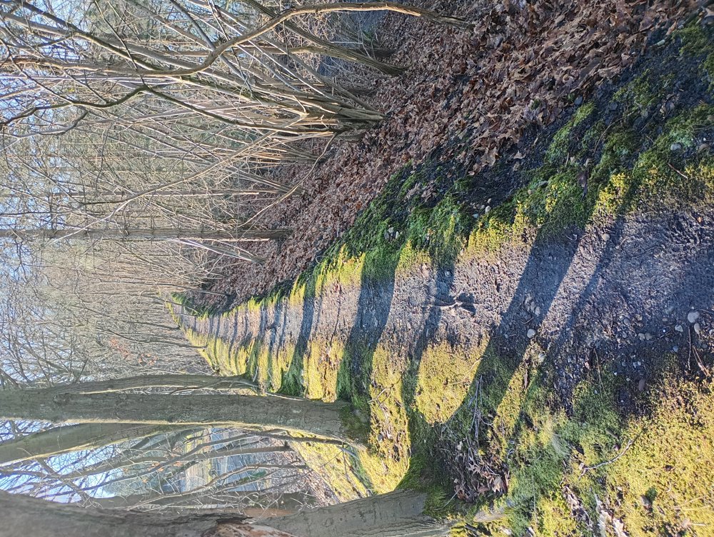
The paths are easily passable, even in rainy weather. Little mud. People who enjoy peace during the walk might want to take a detour around Center Parcs, as even in the winter months it is busy with tourists and day-trippers.

automatic translation

Icon nodes to follow nodes to follow

Image node TP
0 km
Image node 28
0.2 km
Image node TP
1.4 km
Image node TP
1.6 km
Image node 23
1.7 km
Icon deviation route
2.3 km
Icon deviation route
3.4 km
Icon deviation route
3.7 km
Icon deviation route
4.2 km
Icon deviation route
4.9 km
Icon deviation route
5.3 km
Icon deviation route
5.6 km
Icon deviation route
5.8 km
Icon deviation route
6.1 km
Icon deviation route
6.5 km
Icon deviation route
6.8 km
Icon deviation route
7 km
Icon deviation route
7.2 km
Icon deviation route
7.3 km
Icon deviation route
8.2 km
Icon stop route
9.1 km
This route does not have any reviews yet. Be the first!
Rate route!

Which POI do you want to show on the map?

Experimental hiking network
Unsigned icon

The route you have chosen runs (partly) along an experimental virtual hiking node network (the blue-coloured nodes and sections on the map).

You must be logged in to plan routes here.

Experimental hiking network
Unsigned icon

The route you have chosen runs (partly) along an experimental virtual hiking node network (the blue-coloured nodes and sections on the map).

These routes are not controlled in the field. Before you start hiking here, take a minute to read what an experimental hiking node network is and what rules you should follow when hiking here.