 Hiking
 Login
Login
 More
More
 EN
EN
 Premium
Auto-pedestrian Canach
automatic translation
12.8 km • Lenningen
960 0 0/5

 Addresse starting point (approximate)
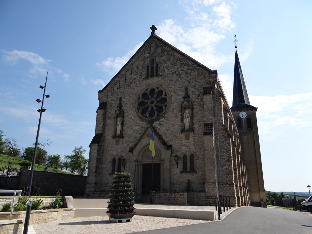
Rue De l'Eglise 3, 5414 Lenningen, LU
 signage
The route is fully signposted with thematic signs (no nodes).
 Description
This route is well-signposted in both directions with a blue diamond on a white background.
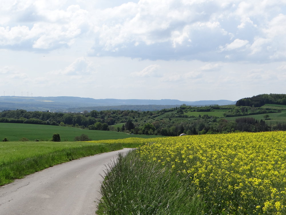
The ground is predominantly paved, but that doesn't bother at all. The beautiful nature and stunning views quickly make you forget that. A real recommendation for those who love distant views!
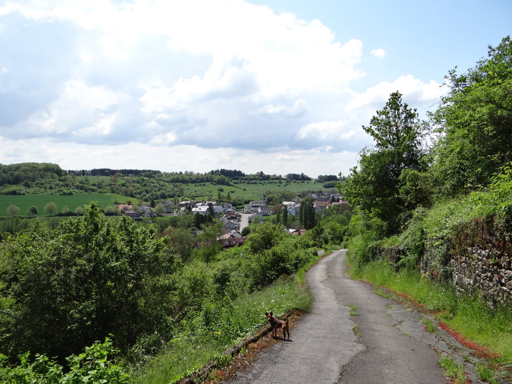
This path climbs the peaks of the Wéngertsbierg, Canecherbierg, Kalebierg, and Haard. It follows part of the Lennengerbaach to Lenningen before crossing the Branebësch and returning to the starting point.
We leave the city heading north, head east, and walk along the slopes of the Wéngertsbierg and Canecherbierg. We go downhill over the Kalebierg to the Lennengerbaach, which we follow to Lenningen. We cross the village, the Branebësch, and return via the Haard to Canach.
More photos: https://photos.app.goo.gl/6VEUduL6iq81k5d49
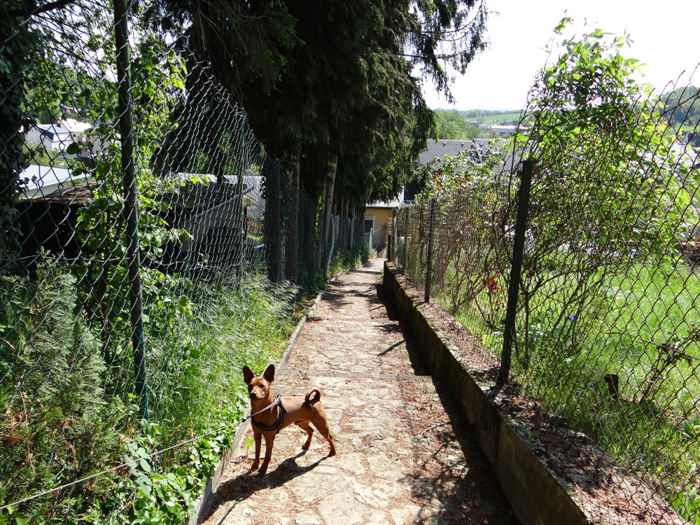
Happy hiking,
Eddy, Rita, and Prinske
automatic translation


 Upgrade to Premium Plus
