 Hiking
 Login
Login
 More
More
 EN
EN
 Premium
Kasterlee <> Corsendonk
automatic translation
11 km • Kasterlee
1.0952 0 0/5

 Addresse starting point (approximate)
Hoeven 6, 2460 Kasterlee, BE
 signage
The route is fully signposted with nodes.

 Description
We did this walk on 01/02/2025.
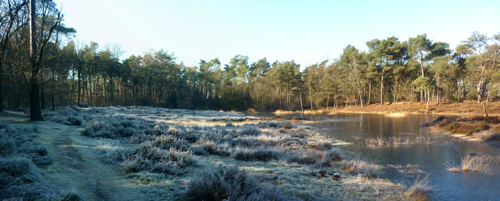
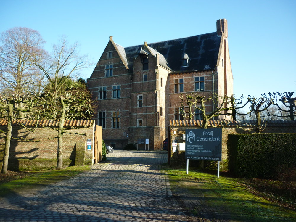
For this beautiful, rural walking route, we parked the car at the Holy Family Chapel in the hamlet of Hoeven. Another option is to park at the Priory of Corsendonk. The route contains slightly fewer paved paths than the statistics indicate. Between junctions 92 and 99, we had to deviate from the route due to flooding and reach the road dry through the forest ahead.
On the way, we passed the rare Kempian 'Ven Goriënberg', a true gem in the forest. The beautiful priory of Corsendonk is certainly worth a photo opportunity.
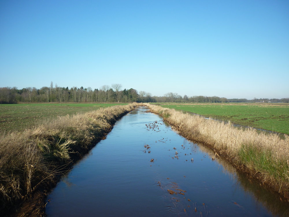
Further on, it was pure enjoyment of the rural nature.
More photos: https://photos.app.goo.gl/F6LNHNJPsn8vCAP4A
Happy hiking,
Eddy, Rita, and Prinske
automatic translation
 nodes to follow
0 km
2 km
2.8 km
3.6 km
4.5 km
5.3 km
5.9 km
6.2 km
7.2 km
8 km
10 km
11 km


 Upgrade to Premium Plus
