
 Hiking
 Login
Login
 More
More
 EN
EN
 Premium
Kleuddewandeling
9.7 km • Zemst
 official route
4.9382 4 4/5
route offered by

 Addresse starting point (approximate)
St. Engelbertus en Bernarduskerk, St. Bernardusstraat, 1980 Zemst-Laar
 signage
The route is signposted with thematic signs (no nodes). You can use a GPS device or our app to follow the route through the virtual nodes.
 Description
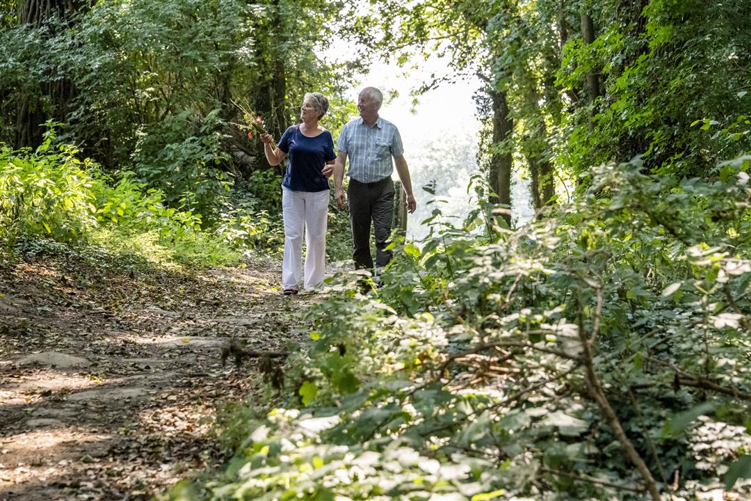
Stroll through the winding streets of Zemst-Laar and meet witches, ghosts, and the mysterious “Kleudde.” According to folk tales, this fictional character from Flemish folklore dwells in the marshes, forests, and heathlands of Laar. You’ll walk past a mysterious stone. A Celtic sacrificial stone? A boundary stone? We don’t know what purpose this curious stone, which was unearthed in 1930, served. In any case, the locals found the “Half Stone” interesting enough to place it on a pedestal.
Before you set out: This is a walk on a virtual hiking network. The junctions are not marked on the ground. Follow the hexagonal red-and-white signs bearing the name of the walk.
This walk is offered by the municipality of Zemst.
automatic translation
 nodes to follow
0 km
0.9 km
1.2 km
3.4 km
4.5 km
5.6 km
6.8 km
7 km
7.9 km
9.7 km
Saturday, January 15, 2022 by Frank SmetsNice walk, mostly on asphalt but the roads are very quiet and you almost always look out over open plains with meadows and fields. The few unpaved sections were a bit slippery though so after rain it is best to wear shoes with some tread.
automatic translation
Saturday, February 6, 2021 by Walter MombaertsNice hike with indeed many paved roads but welcome this time of year 😃. It doesn't always have to be mud lol.
automatic translation
Sunday, December 6, 2020 by Hilde De laetFairly much on asphalt roads. Nice views though.
automatic translation
Saturday, July 25, 2020 by L.G.The trail is marked with hexagonal signs with the name of the trail.Kleuddepad.Beautiful walk with lots of nature and greenery.
automatic translation



 Upgrade to Premium Plus


