 Hiking
 Login
Login
 More
More
 EN
EN
 Premium
Niederfeulen FE 2 (Along the "Wark" and the "Fél")
automatic translation
14.4 km • Feulen
1010 0 0/5

 Addresse starting point (approximate)
Rue Eugène Reiser 1, 9175 Feulen, LU
 signage
The route is fully signposted with thematic signs (no nodes).

 Description
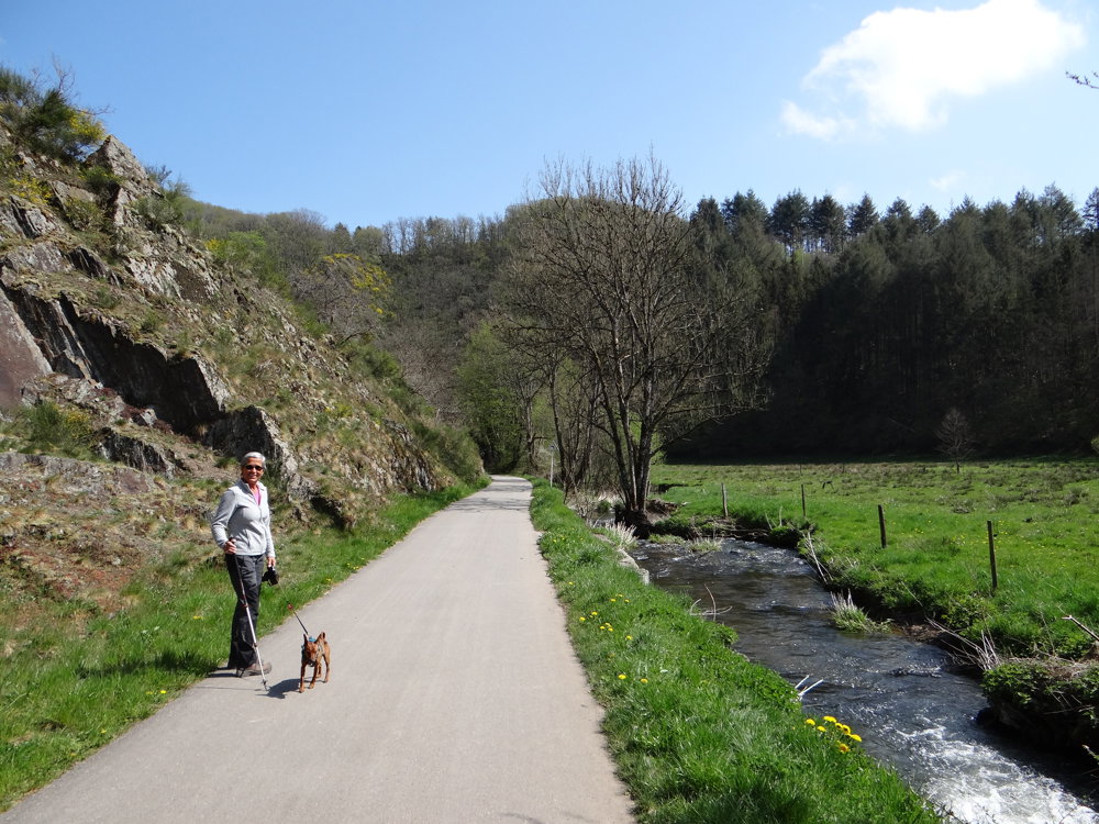
A beautiful, challenging hike that starts in Niederfeulen. The route is well signposted in both directions. We chose to do this hike counterclockwise.
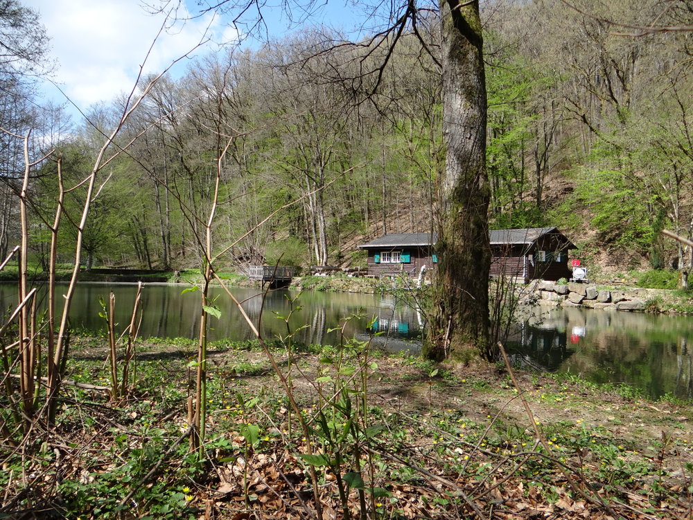
We walked along the paved bike path PC16 in the valley of the 'Wark'. From the mouth of the 'Féischterbaach' into the 'Wark', the path becomes unpaved and slowly ascends to a plateau at 490 m above sea level. On the plateau, you enjoy stunning views.
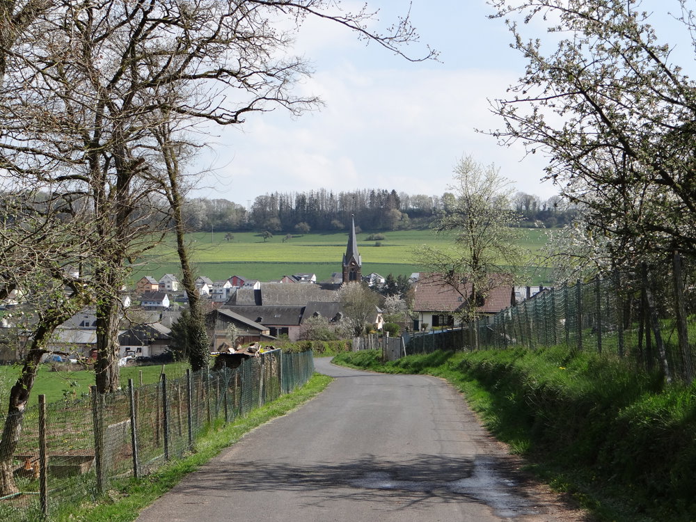
Afterwards, you descend into the valley of the 'Jongerbaach' and eventually back to Niederfeulen.
More photos: https://photos.app.goo.gl/qghMgoigjtBEdAAF8
Happy hiking,
Eddy, Rita, and Prinske
automatic translation


 Upgrade to Premium Plus
