 Hiking
 Login
Login
 More
More
 EN
EN
 Premium
Esch-sur-Sûre: majestic views
automatic translation
14.6 km • Esch-sur-Sûre
3371 1 5/5

 Addresse starting point (approximate)
Rue d'Eschdorf 2, 9650 Esch-sur-Sûre, LU
 signage
The route is partially signposted with thematic signs (no nodes). Use a GPS device or our app to follow the route.
 Description
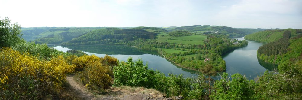
This magnificent walk covers most of the eastern part of the "Circuit du Lac", which is 16.5 km long. There is also a western loop that is 27 km long.
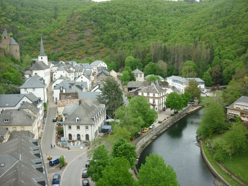
We modified the loop slightly, allowing us to take a small 1.4 km approach route along the paved road to the point where we joined the Circuit du Lac. Along the way, a beautiful view of the Esch-sur-Sûre castle makes up for the paved road.
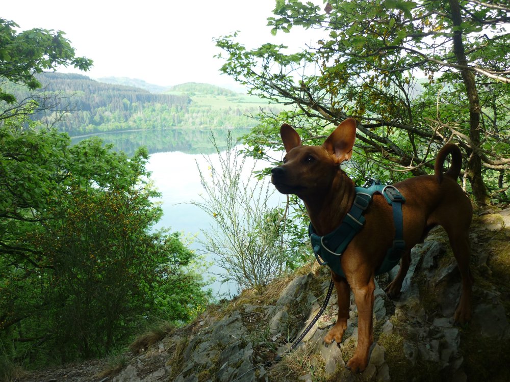
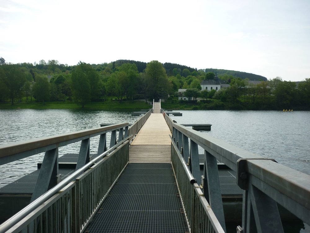
You go through the forest along the Sûre's flank, past the 'bunker an den Runtschelt', then halfway through the walk cross the suspension bridge to Lultzhausen and return along the other bank of the Sûre to Esch-sur-Sûre.
Many beautiful views, enjoying the peace, sporty because of the many climbs and descents, admire sculptures, beautiful nature, suspension bridge over the Sûre... It can't go wrong.
More photos: https://photos.app.goo.gl/fwEXqkBigXPPjSyK8
Happy hiking!
Eddy, Rita and Prinske
automatic translation


 Upgrade to Premium Plus
