 Hiking
 Login
Login
 More
More
 EN
EN
 Premium
Reckange loop 'Guttland'
automatic translation
17.1 km • Mersch
1070 0 0/5

 Addresse starting point (approximate)
Rue Principale 4, 7595 Mersch, LU
 signage
The route is not signposted. Use a GPS device or our app to follow the route.
 Description
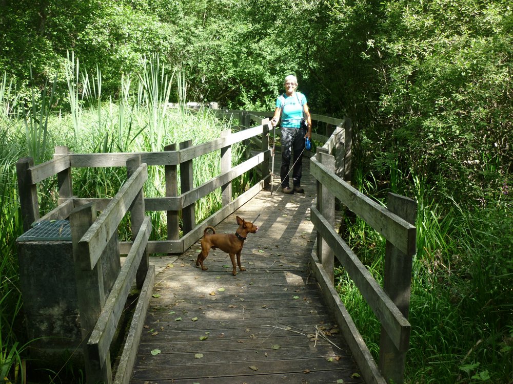
The hiking route in Guttland, Luxembourg, combines various hiking and biking trails.
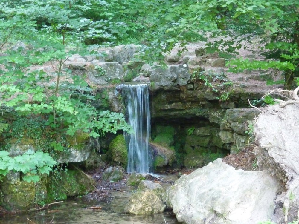
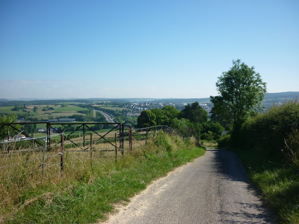
Parking is available at the bus stop in Reckange, Rue Principale. The route is easy, with paved and semi-paved paths, and offers beautiful nature, silence, and distant views.
Highlights include:
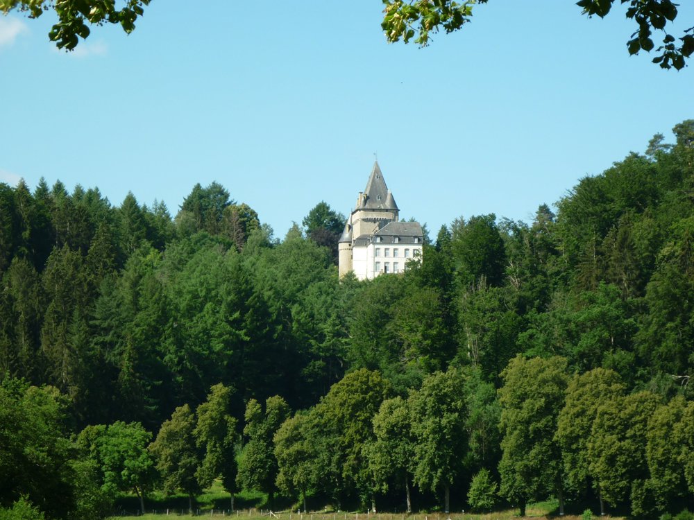
The valley of the Eisch with views of Hollenfels Castle.
Neimillen, a ruin of an old watermill in the valley of the Mandelbaach.
The Eenelter Chapel, built in 1897 in honor of St. Donatus.
The Menhir of Beisenerbierg, a three-meter high Neolithic standing stone.
More photos: https://photos.app.goo.gl/dPgMsHDoKPVCkZhA7
Happy hiking,
Eddy, Rita, and Prinske
automatic translation


 Upgrade to Premium Plus
