 Hiking
 Login
Login
 More
More
 EN
EN
 Premium
Pittoresk Perkwandeling
10.2 km • Steenokkerzeel
 official route
4.3365 8 3.8/5
route offered by
 Addresse starting point (approximate)
Sint-Niklaaskerk, Tervuursesteenweg 171, 1820 Perk (Steenokkerzeel)
 signage
The route is fully signposted with nodes.
 Description
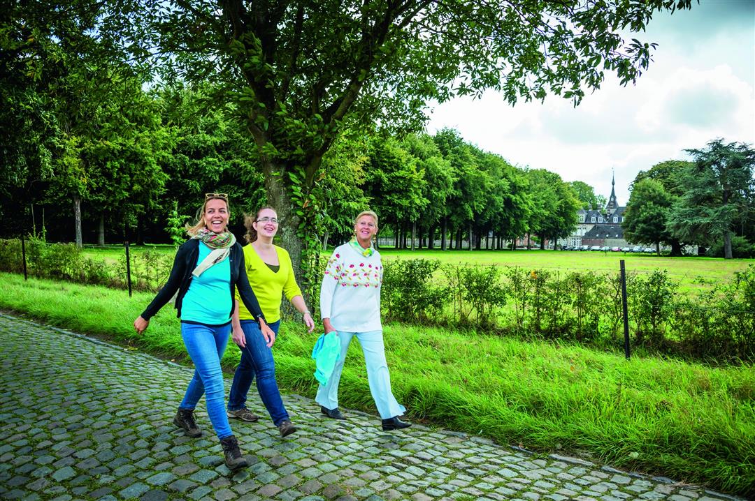
The walk begins in picturesque Perk. Passing through Sint-Jannekensstraat, with its beautiful 17th-century houses, you’ll walk past the Perk estate. With its graceful turrets, 200 rooms, and a 90-hectare park, Ribaucourt Castle looks like something straight out of a fairy tale. The ancient Hellebos appears on the oldest maps; together with the Steentjesbos, Rotbos, and Snijsselsbos, the Hellebos forms a green strip between Berg, Perk, and Elewijt.
This walk is organized by the Brabantse Kouters Regional Landscape in collaboration with the municipality.
automatic translation
 nodes to follow
0 km
0.6 km
1.5 km
2.8 km
3 km
4 km
4.6 km
7.2 km
9.1 km
9.6 km
10.2 km
Wednesday, December 13, 2023 by L.B.The beginning of the hike starts out a bit monotonous but once you get to the forest part it is a bit more adventurous. Noisy though, lots of noise from both highway and kites. Otherwise a nice solid hike.
automatic translation
Thursday, April 21, 2022 by Yasmin VdCFirst part (up to KP 100) is not always so pleasant because there are neither footpaths nor bike lanes on the roads you walk on, so you have to constantly stand in the gutter to let cars pass. Second part though very quiet and nice. Also doable with dogs, few barking peers along the way.
automatic translation
Sunday, March 13, 2022 by Hilde VdVParking is easy at the soccer fields in the Kerkdreef. Varied walk along fields, through woods, past beautiful and old renovated houses, over streams (so watch out in rainy periods), next to the slip school, ... few busy streets so very quiet. Temporary bit of roadblock due to downed trees just before 14, but manageable.
automatic translation
Sunday, September 12, 2021 by Jo Van den eyndeNice hike via nicely upgraded agricultural paths. Many quiet forest trails, although some are quite muddy now in the fall so you do regularly slow progress via alternate created slightly drier shortcuts. Quiet surroundings with falling airplanes provide distraction. Friendly service in cafe at the start.
automatic translation
Monday, April 19, 2021 by J.D.the signs have disappeared,but you can follow them with nodes,from the St-Niklaaskerk through the Kerkdreef to node 38-37-304-301-300-14-15-39-38 and possibly back to the church via the st-Jannekesstraat
automatic translation
Monday, November 2, 2020 by Paul Van hoovelsa little monotonous walk , we added a bit ourselves and so visited the village.
automatic translation
Monday, October 26, 2020 by Benjamin KeppensFor us, this became a beautiful autumn walk!
automatic translation
Tuesday, May 12, 2020 by Godelieve Van RompaeyNice hike but the start location is wrong: Church and St. John's Street are a long way from node 38
automatic translation


 Upgrade to Premium Plus
