
 Hiking
 Login
Login
 More
More
 EN
EN
 Premium
Tenierswandeling
11.7 km • Steenokkerzeel
 official route
2.5894 1 3.5/5
route offered by

 Addresse starting point (approximate)
Sint-Niklaaskerk, 1820 Perk (Steenokkerzeel)
 signage
The route is fully signposted with nodes.
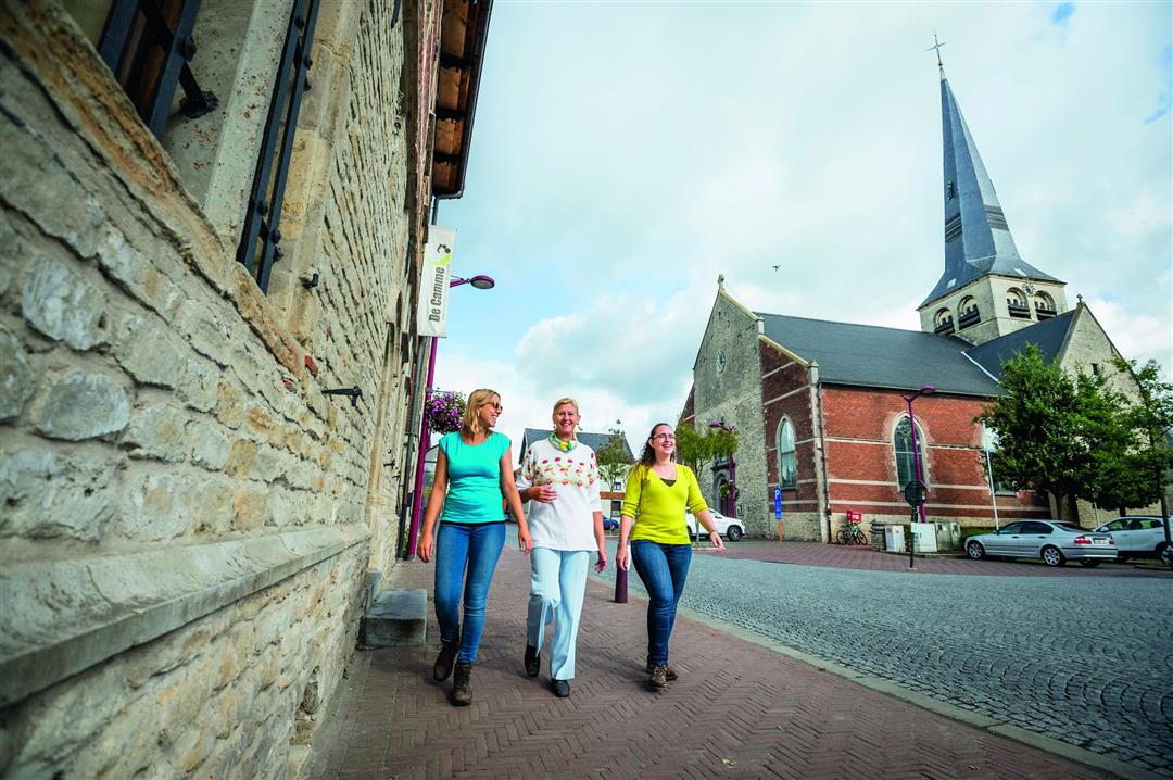
 Description
The graceful turrets of Ribeaucourt Castle can be seen from afar in the green countryside. The castle has stood there since the 17th century, when the great Baroque painter David Teniers lived in the small village of Perk. He painted scenes of farm life and Flemish fairs and spent thirty years of his life at De Dry Toren Castle, some remnants of which can still be recognized today. A third charming little estate you’ll pass on this rural exploration of Perk is the walled manor farm Het Laathof, with buildings dating from the 18th and 19th centuries.
automatic translation
 nodes to follow
0 km
0.6 km
1.5 km
2.8 km
3 km
3.6 km
4.5 km
5.5 km
5.6 km
6.2 km
8.2 km
9.5 km
10.3 km
11 km
11.7 km
Sunday, September 27, 2020 by Guy Van dammePark your car at the church of Perk and from there you can connect to the hike. The part from Perk to Elewijt is just really beautiful and deserves a 9/10, but the part from Elewijt to Perk got a 5/10 from us giving this hike a 7/10 or 3,5/5. Good advice : do this hike in reverse.
automatic translation



 Upgrade to Premium Plus


