 Hiking
 Login
Login
 More
More
 EN
EN
 Premium
Kesselse Heide and Fort
automatic translation
9.9 km • Nijlen
5.41711 2 3.5/5

 Addresse starting point (approximate)
Lindekensbaan 88, 2560 Nijlen, BE
 signage
The route is fully signposted with nodes.
 Description
We did this walk on 23/01/2025
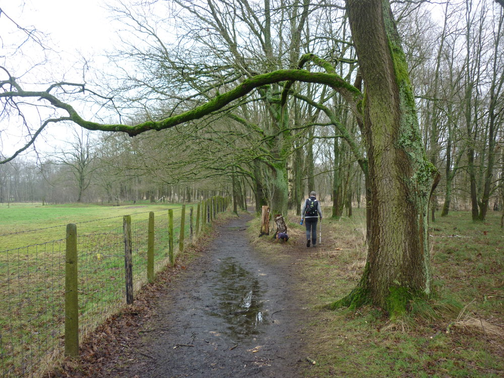
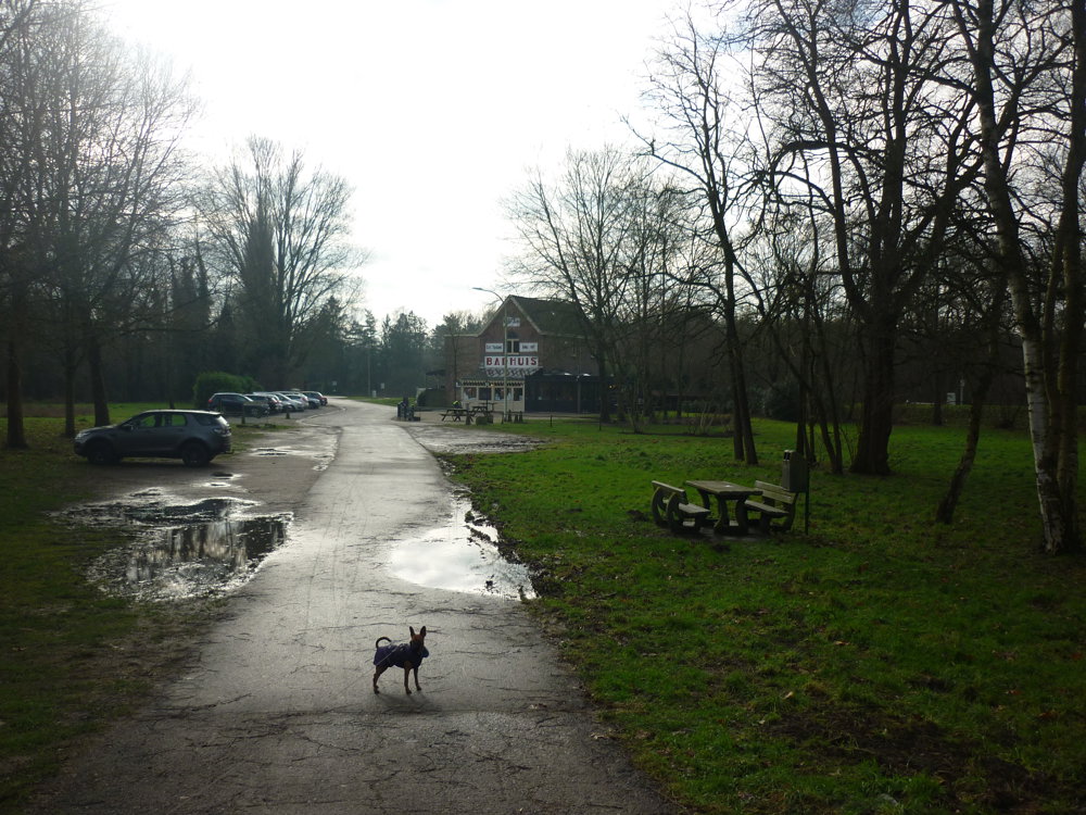
For this walk, we parked the car in the spacious parking lot of the Provincial Green Domain Kesselse Heide. Public transport enthusiasts can also start from Kessel station.
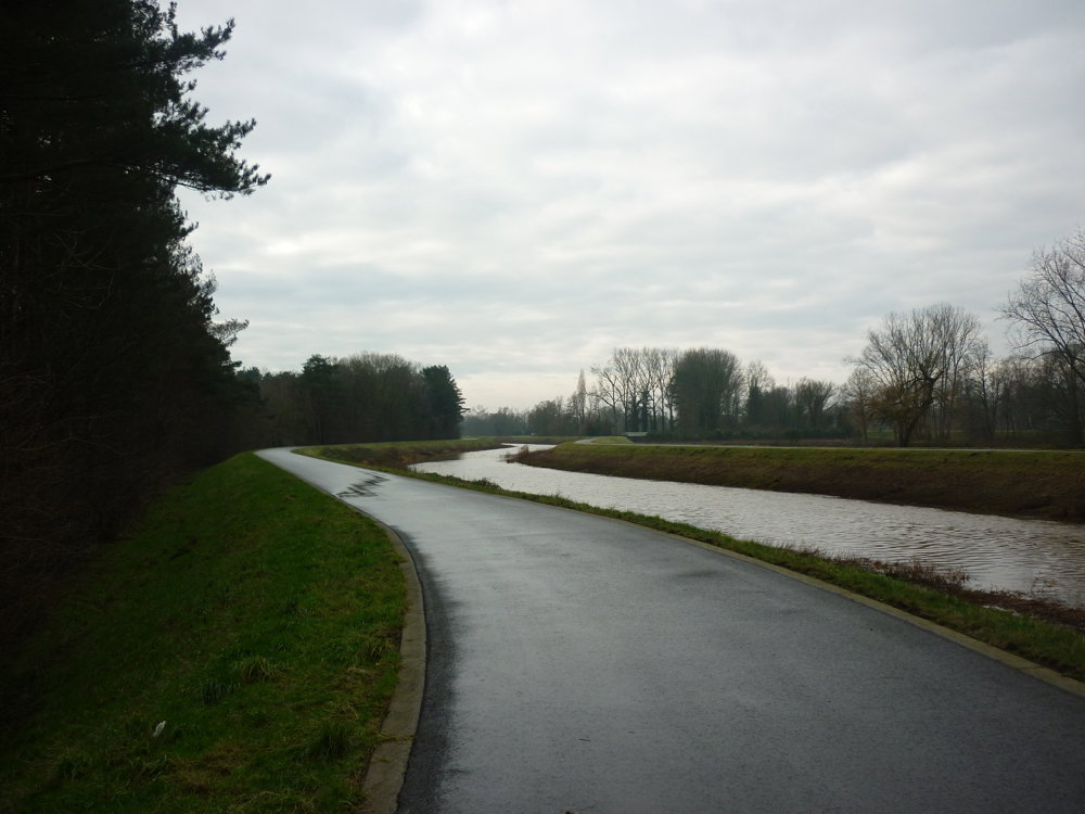
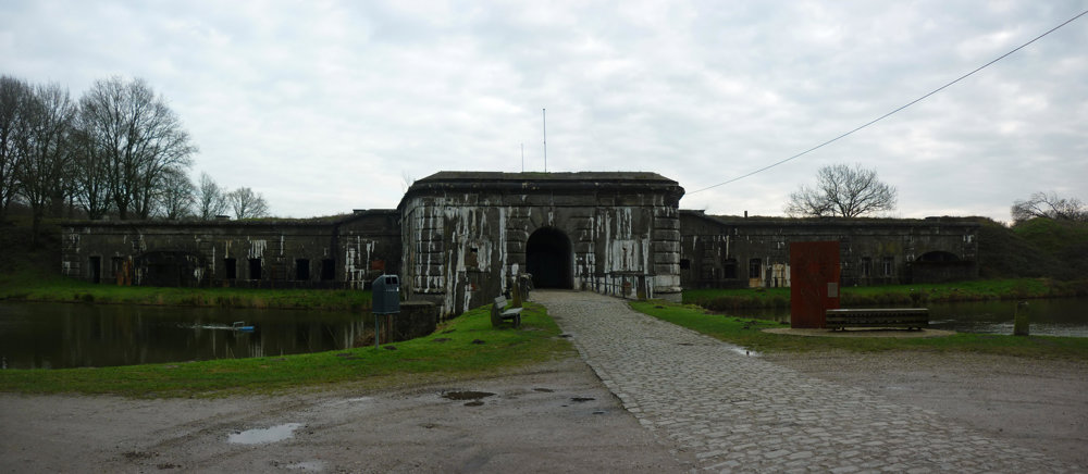
This route is very varied and there is also a lot to see. The Green Domain on its own is a feast for the eyes. It also passes along the Kleine Nete and the Fort of Kessel should definitely be part of a walk like this. As for the terrain, you sometimes get muddy paths (especially during wet periods) and then again hardened ground under your feet. Plenty of variation, therefore.
More photos: https://photos.app.goo.gl/DXBFfeMnkmCVT9Ap7
Happy walking,
Eddy, Rita and Prinske
automatic translation
 nodes to follow
0 km
0.2 km
0.4 km
0.4 km
0.8 km
1.2 km
1.4 km
1.6 km
1.9 km
2.9 km
3.5 km
3.8 km
4 km
4.4 km
4.7 km
5.1 km
6 km
6.4 km
6.9 km
7 km
7.8 km
8.1 km
8.1 km
8.1 km
8.7 km
9 km
9.2 km
9.4 km
9.6 km
9.7 km
9.9 km
Sunday, March 1, 2026 by Eddy & RitaUnfortunately, this route received a low score due to unclear signage. As hikers, we are not responsible for the markings. This route is definitely worth 5 stars.
automatic translation
Monday, May 19, 2025 by Josée Verrelstalso bad junctions. in jumped from one route to another and then using the app "maps" continued my route. do you have a paid version then, with a voice that says when you go wrong?
automatic translation
Sunday, May 25, 2025 by Eddy & RitaHi Josée, Thanks for your response 😀 No, We don't have an app that tells us when we are going wrong. We check the gps regularly. If something is wrong with the nodes we report it to the route doctor. Anyone can do that, including you of course. This keeps the network up to date for everyone. Have fun hiking!
automatic translation


 Upgrade to Premium Plus
