 Hiking
 Login
Login
 More
More
 EN
EN
 Premium
Walk De Haan
automatic translation
6.9 km • De Haan
4.63219 2 4.5/5

 Addresse starting point (approximate)
Nieuwe Steenweg 133, 8420 De Haan, BE
 signage
The route is not signposted. Use a GPS device or our app to follow the route.
 Description
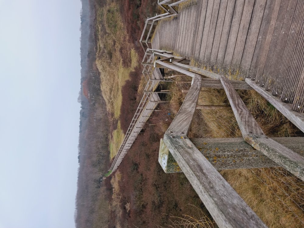
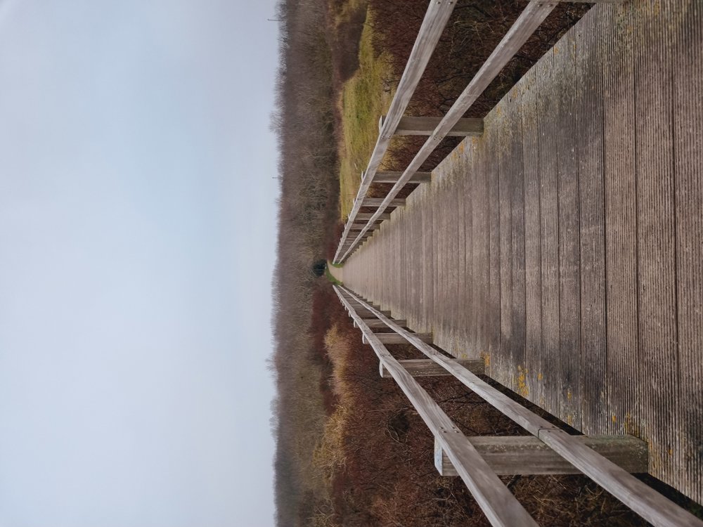
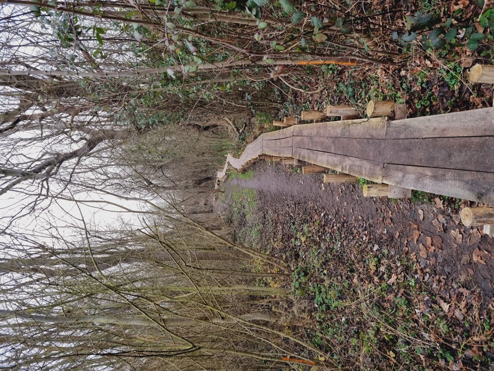
🐓 Walk in De Haan 🐓
Lots of variety: from forest, center, dunes to the sea. And above all, no mud on your feet, except for some sand in your shoes 😉
So, put on your thick 🧦🧤🧣, because it can be cold at the seaside right now ❄️
🧘♀️ Enjoy slowing down on our Belgian coast and motivate each other to go outside. It feels so good afterwards.
Enjoy your walk! 👣🫂🐚
👩🏫 Rating: 8/10
📏 7 km (of which 57% paved)
👶🏻 Not buggy-friendly
☕️ Cafés and restaurants in the center of De Haan
🅿️ Free parking, Sports and Recreation Center, Nieuwe Steenweg at No. 133, De Haan [West Flanders]
automatic translation
Wednesday, April 1, 2026 by Sven vdbA very adventurous walk, with a lovely mix of woods, beach, and residential areas. I had to convince the dog to go up and down those big stairs, but that just made it even more of a challenge—a beautiful route.
automatic translation
Thursday, April 9, 2026 by Sarah wandel.hike.belgiëThank you for your response👌
automatic translation
Friday, August 29, 2025 by Evy VerbeureNice variety for with the dog, close walking and with the flexi.
automatic translation
Thursday, April 9, 2026 by Sarah wandel.hike.belgiëGlad you enjoyed it🙂
automatic translation


 Upgrade to Premium Plus
