 Hiking
 Login
Login
 More
More
 EN
EN
 Premium
Merksplas Heikant
automatic translation
8.7 km • Merksplas
1.3948 3 5/5

 Addresse starting point (approximate)
Heikant 13, 2330 Merksplas, BE
 signage
The route is fully signposted with nodes.
 Description
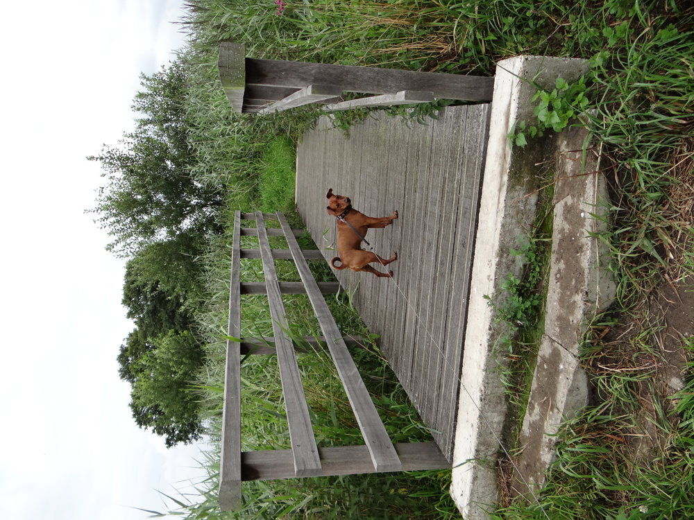
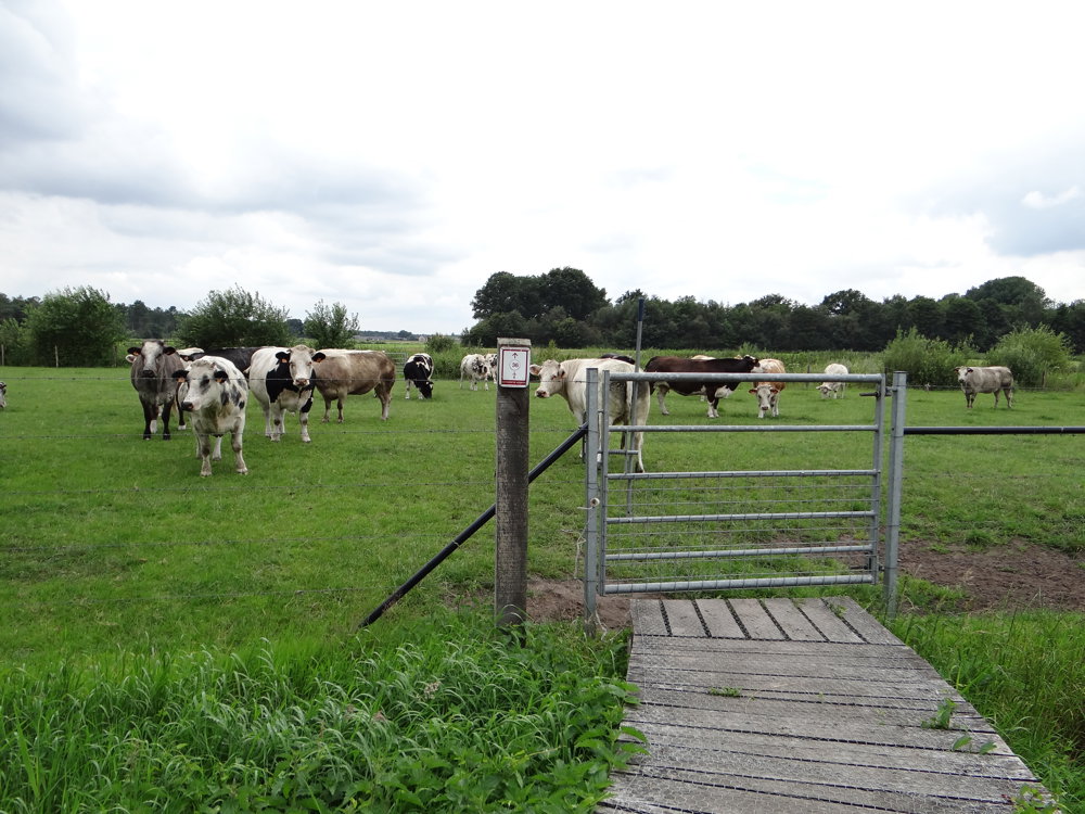
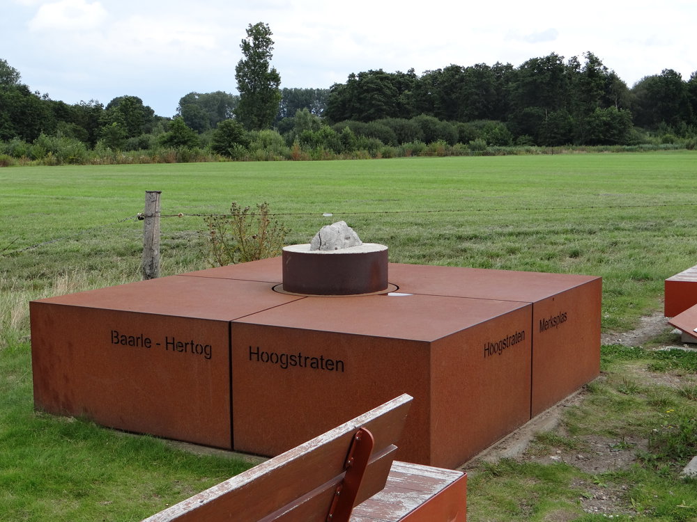
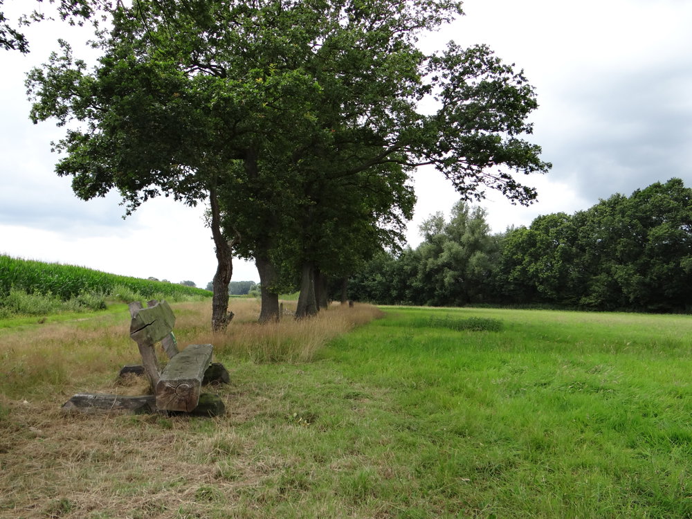
This is a delightful, rural nature walk.
Let yourself be overwhelmed by all the beauty that there is to see. Parking is available in the spacious parking lot of the Sheep Farm "Het Vaneleke".
More photos: https://photos.app.goo.gl/mNceN2BRWbpJitry8
Happy hiking,
Eddy, Rita, and Prinske
automatic translation
 nodes to follow
0 km
0.6 km
1 km
1.8 km
2.1 km
3.1 km
3.2 km
3.2 km
4.3 km
4.6 km
4.9 km
5.3 km
6.4 km
6.8 km
7.1 km
7.2 km
8.7 km
Sunday, December 21, 2025 by Linda KlaassenDid this nice quiet walk today, highly recommended!!!
automatic translation
Saturday, January 17, 2026 by Eddy & RitaThank you for your response. Enjoy your walks!
automatic translation
Tuesday, July 22, 2025 by Sacha Kajanakuvery nice hike, is in our top 3. And this only 20km from home. thank you 👍
automatic translation
Saturday, August 2, 2025 by Eddy & RitaYou're welcome! Have a great time hiking!
automatic translation
Thursday, May 15, 2025 by Sofie Steenackerswonderful hike but unfortunately no more Vaneleke, they quit the business.
automatic translation
Sunday, May 25, 2025 by Eddy & RitaHi Sofie, Thank you so much for your response and the information! Have fun hiking!
automatic translation


 Upgrade to Premium Plus
