 Hiking
 Login
Login More
More EN
EN Premium
From dry to wet Steenhuffel
automatic translation
8.6 km • Londerzeel
 official route
route offered by
 Addresse starting point (approximate)
Bistro Leireken, Brouwerijstraat 29, 1840 Steenhuffel
 signage
The route is fully signposted with nodes.
 Description
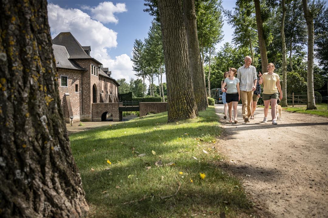
Start at Leireken, a station building converted into a tavern. In front of the station building is a remarkable 1935 first-class train car. Walk along the Great Mill Creek to the Leirekensroute, a bicycle and hiking trail on former railroad line 61 between Londerzeel and Aalst. During the hike you can spot the barn swallow, a cherished neighbor of the community. Palm Brewery is happy to open its doors to visitors. As a reminder of the rich hop culture of yesteryear, in 2011 Palm Brewery laid out a hop field along the Leirekens Route.
This walk is offered by the Regional Landscape Brabantse Kouters in cooperation with the municipality.
automatic translation
 nodes to follow
0 km
1.1 km
1.6 km
2.7 km
3.9 km
5.1 km
7.1 km
8.3 km
8.6 km
Saturday, March 20, 2021 by Canters FrankLess pleasant hike. Most of it is on concrete roads, through allotments and ribbon development in and around Steenhuffel. Only the stretch along the Great Mill Creek is enjoyable. Rather a route for biking than hiking. If you want to hike in Steenhuffel, better choose the other hiking route. Much more pleasant to do!
automatic translation
Wednesday, November 25, 2020 by V.J.Nice walk. Also optimal for with stroller or joggers. Poorly signposted here and there. Best to take GPS routing with you.
automatic translation


 Upgrade to Premium Plus
