 Hiking
 Login
Login More
More EN
EN Premium
Cross through Dorent walk
automatic translation
7.5 km • Zemst
 official route
1.1361 1 3.5/5
route offered by
 Addresse starting point (approximate)
De Schanshoeve, Stijn Streuvelslaan 92, 1980 Eppegem (Zemst)
 signage
The route is not signposted. Use a GPS device or our app to follow the route through the virtual nodes.
 Description
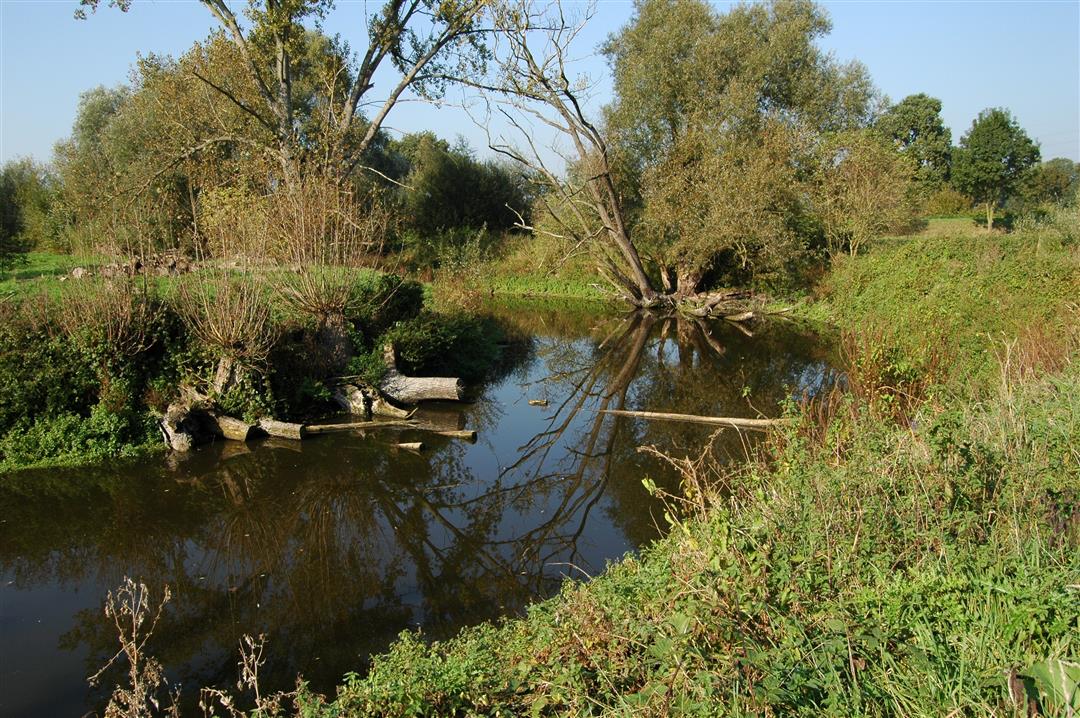
The walk starts at De Schranshoeve towards the beautiful nature reserve Dorent-Nelebroek in the valley of the river Zenne. In the core of the area you will find cut Zennemeanders where you can spot the crested newt and see the great burnet bloom. Walk along a patchwork of marshy meadows. Furthermore, you will pass the historic castle of Impel, which has been there since the 12th century.
NOTE: This is a walk on a virtual hiking network. The nodes are not signposted on the site.
The walk is offered by the Regional Landscape Brabantse Kouters in collaboration with the municipality.
automatic translation
 nodes to follow
0 km
0.4 km
1.5 km
2.5 km
2.5 km
3.6 km
4.1 km
4.4 km
5.1 km
6.1 km
7 km
7.5 km
Sunday, May 23, 2021 by Hilde VdVEven though there is the proximity of industry, this is a rural mostly green quiet walk. Indeed no junction sign and only a few "dorent" arrows present which moreover are sometimes wrong! Attention: on the map the start place is wrongly indicated. This is located in Stijn streuvelslaan. So the plan is also wrong.
automatic translation


 Upgrade to Premium Plus
