 Hiking
 Login
Login
 More
More
 EN
EN
 Premium
Diekirch local route DK3
automatic translation
7.8 km • Diekirch
4100 0 0/5

 Addresse starting point (approximate)
Promenade De La Sûre 121, 9283 Diekirch, LU
 signage
The route is fully signposted with thematic signs (no nodes).
 Description
The hiking trail is marked in both directions. Follow the white-blue "DK 3" markers.
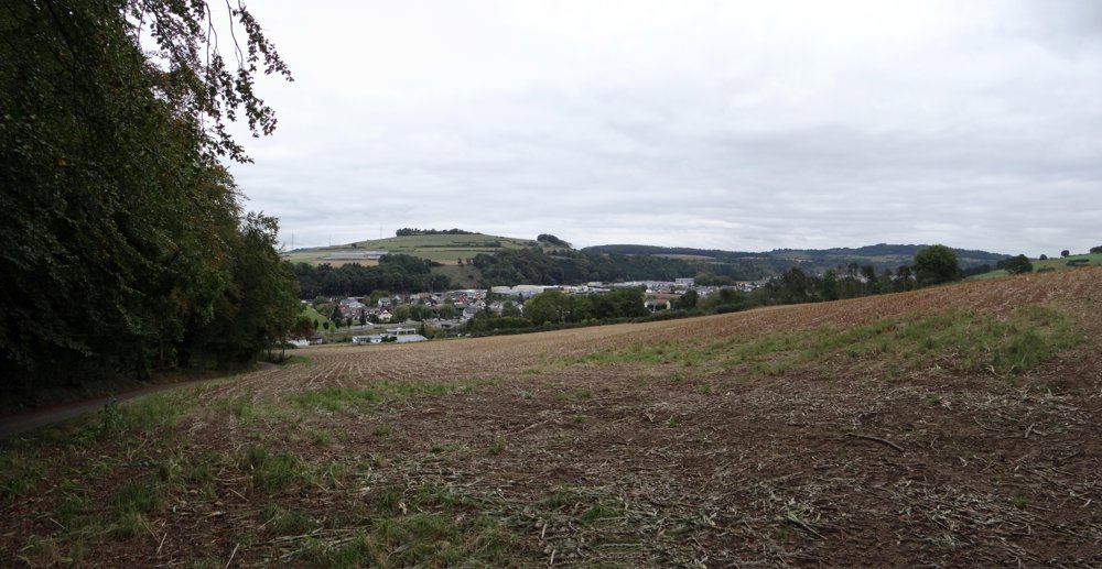
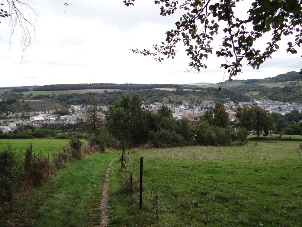
Beautiful signposted local walk mainly running through lovely forests. The section that goes through fields and meadows offers great views over the valley of the "Sûre", the villages of Ettelbruck, Diekirch, and Ingeldorf.
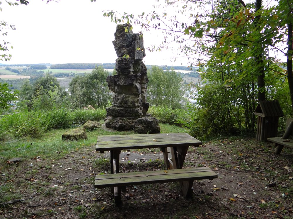
Attraction: The Deiwelselter (Dutch: Devil's Altar) is a megalith built from prehistoric stones in Diekirch, Luxembourg, with a height of about seven meters. It was constructed in 1892, using stones from a disturbed dolmen in 1815. According to a study, the stones date from around 2000 BC.
More photos: https://goo.gl/photos/hie7pWZHLxRtZgkBA
Happy hiking,
Eddy, Rita, and Prinske
automatic translation


 Upgrade to Premium Plus
