 Hiking
 Login
Login
 More
More
 EN
EN
 Premium
Pijnven walking through the trees
automatic translation
10.9 km • Hechtel-Eksel
1.0481 0 0/5

 Addresse starting point (approximate)
Kiefhoekstraat 16, 3940 Hechtel-Eksel, BE
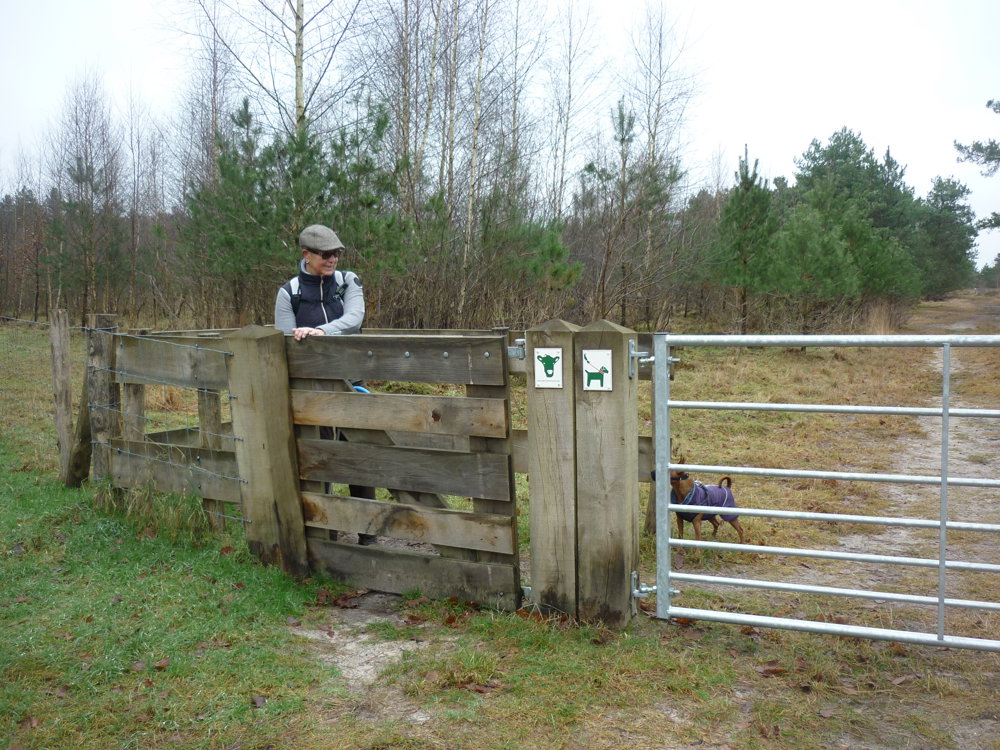
 signage
The route is fully signposted with nodes.
 Description
We did this walk on 31/12/2024
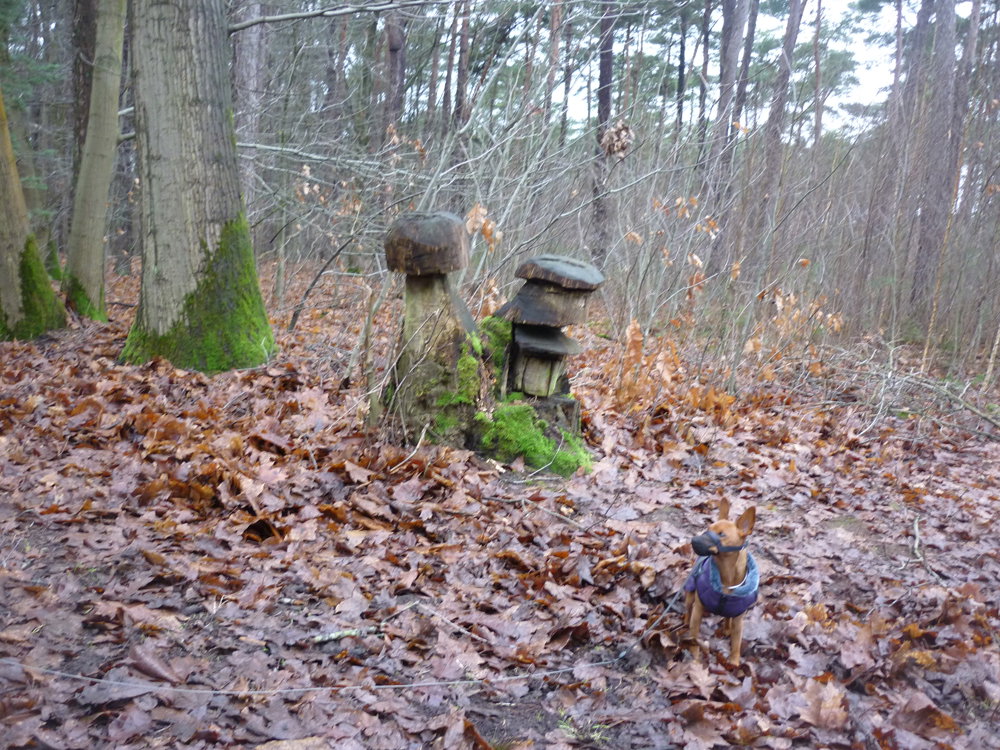
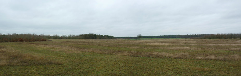
The Pijnven is a forest of over 2000 hectares, perfect for hours of walking. Especially with the youngest children, as they can expend their energy in the enormous play forest.
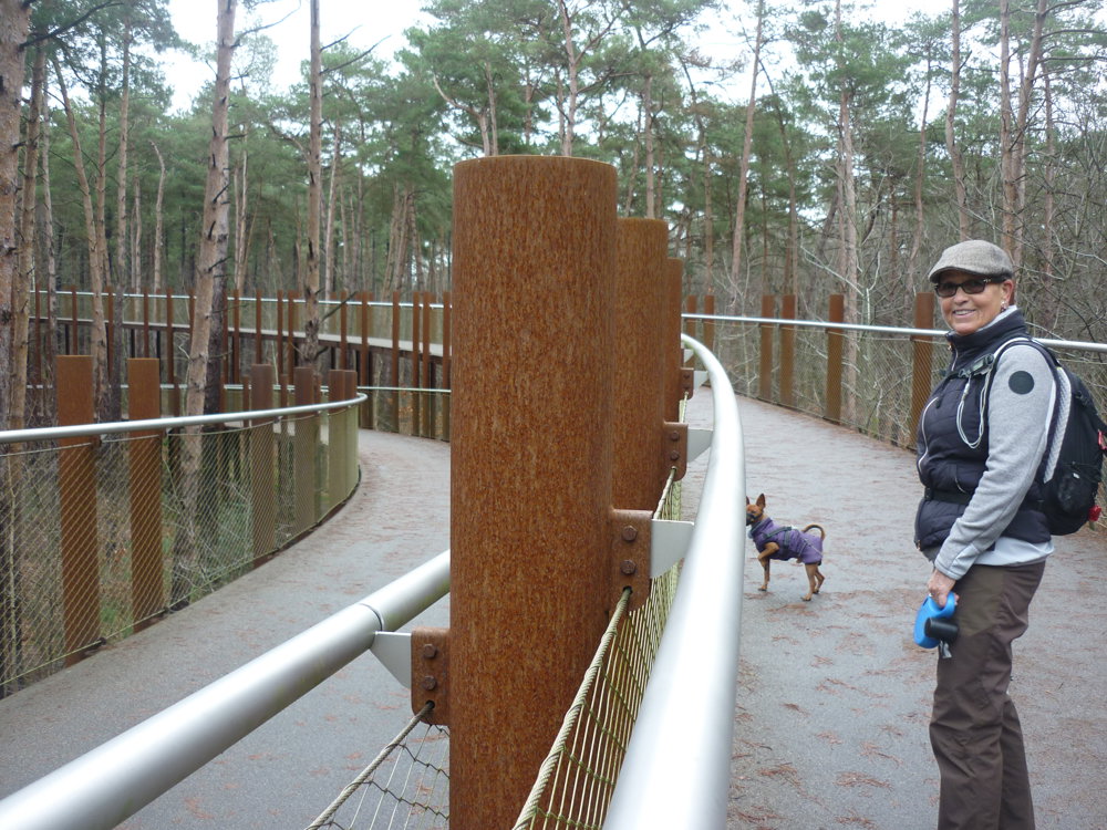
What makes this walk so special is the cycling through the trees, the Butterfly Valley and the willow artwork 'De boom in' by Will Beckers.
In the Pijnven domain, walking and cycling are the main activities, but there are also sunbathing areas, shelters and a forest museum. The ongoing exhibition offers a glimpse of the animals and plants of the Limburg Kempen. Starting points are the forest community and forestry.
More photos: https://photos.app.goo.gl/uBWaYZ9MAh1s9d3D6
Happy walking,
Eddy, Rita and Prinske
automatic translation
 nodes to follow
0 km
0.2 km
0.8 km
3.5 km
4 km
5.7 km
5.9 km
6.7 km
7.3 km
9 km
9.5 km
10.9 km


 Upgrade to Premium Plus
