 Hiking
 Login
Login More
More EN
EN Premium
Hollow Road Walk
automatic translation
6.5 km • Vilvoorde
 official route
route offered by
 Addresse starting point (approximate)
Park Drie Fonteinen, Beneluxlaan 32, 1800 Vilvoorde
 signage
The route is not signposted. Use a GPS device or our app to follow the route through the virtual nodes.
 Description
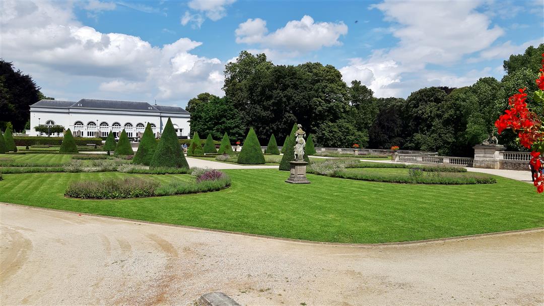
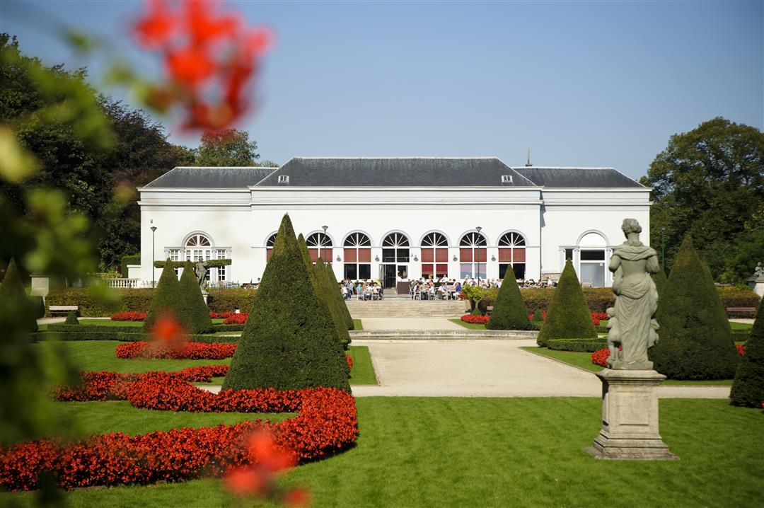
Your tour starts at the Domein Drie Fonteinen, a walking park with beautiful French garden, challenging play forest and the "Komatsu Landscape Garden," a Japanese garden. Walk along perhaps Vilvoorde's most famous street: Medialaan. On the outskirts of Vilvoorde, walk through some valuable hollow roads in the valley of the Tangebeek. The Tangebeek forest leans against the busy Brussels Ring Road, yet the walk here is peaceful.
NOTE: This is a hike on a virtual hiking network. The nodes are not signposted on the property. Follow the 6-sided red and white signs with the name of the hike.
This hike is offered by Tourism Flemish Brabant.
automatic translation
 nodes to follow
0 km

0.2 km
0.2 km
1.9 km
2.2 km
3.2 km
3.3 km
4.1 km
4.3 km
5.7 km
6 km
6.2 km
6.3 km

6.5 km
Tuesday, October 20, 2020 by J.D.nice walk , well passable for everyone , unfortunate that 50% of the walk is disturbed by the noise of traffic despite that you seem to be in full nature , pay attention to no 97 , it seems to have disappeared at the Steenweg on Koningsloo , also no 95 indicates straight on after crossing the Albert1 avenue while you should go left
automatic translation


 Upgrade to Premium Plus
