
 Hiking
 Login
Login
 More
More
 EN
EN
 Premium
Holle wegenwandeling
6.5 km • Vilvoorde
 official route
3.3536 4 3.6/5
route offered by

 Addresse starting point (approximate)
Park Drie Fonteinen, Beneluxlaan 32, 1800 Vilvoorde
 signage
The route is signposted with thematic signs (no nodes). You can use a GPS device or our app to follow the route through the virtual nodes.
 Description
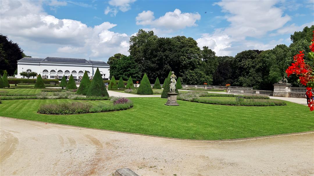
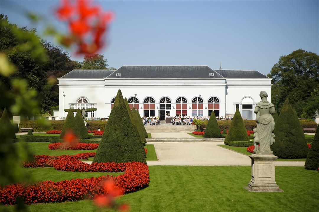
Park Drie Fonteinen is one of the oldest landscape gardens in the country, featuring a beautiful French garden, an English landscape park, and a playground where children can run around while their parents watch from a terrace. From here, you’ll walk past the VTM building toward the Tangebeek Valley, a marshy nature reserve with beautiful sunken paths. You wouldn’t expect this peaceful natural gem to be so close to the Brussels Ring Road.
Before you set out: This is a walk on a virtual walking network. The junctions are not marked on the ground. Follow the hexagonal red-and-white signs bearing the name of the walk.
automatic translation
 nodes to follow
0 km

0.2 km
0.2 km
1.9 km
2.2 km
3.2 km
3.3 km
4.1 km
4.3 km
5.7 km
6 km
6.2 km
6.3 km

6.5 km
Saturday, July 4, 2026 by Magda GodtsThis walk was a pleasant surprise. It’s ideal for a warm day because you’re almost constantly in the shade of the trees. Beautiful sunken paths and lots of greenery, close to the city. The 3 Fonteinen park is also great for walking, of course, but we already know it very well because we go there often. It’s not too long of a walk.
automatic translation
Friday, August 15, 2025 by Georges Dejaeger beautiful route well marked.
automatic translation
Sunday, April 27, 2025 by Heidi Geertsquietly beautiful in the month of April
automatic translation
Tuesday, October 20, 2020 by J.D.nice walk , well passable for everyone , unfortunate that 50% of the walk is disturbed by the noise of traffic despite that you seem to be in full nature , pay attention to no 97 , it seems to have disappeared at the Steenweg on Koningsloo , also no 95 indicates straight on after crossing the Albert1 avenue while you should go left
automatic translation



 Upgrade to Premium Plus


