 Hiking
 Login
Login
 More
More
 EN
EN
 Premium
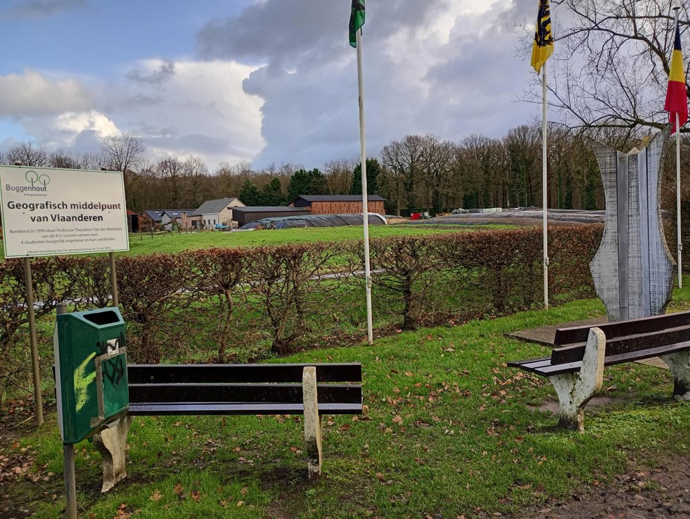
To the geographical center of Flanders
automatic translation
13.2 km • Londerzeel
1.3355 2 4.5/5

 Addresse starting point (approximate)
Jozef Vermaesenplein 12, 1840 Londerzeel, BE
 signage
The route is fully signposted with nodes.
 Description
Departure: Sint Amandus Church, Jozef Vermaesen Square, Londerzeel
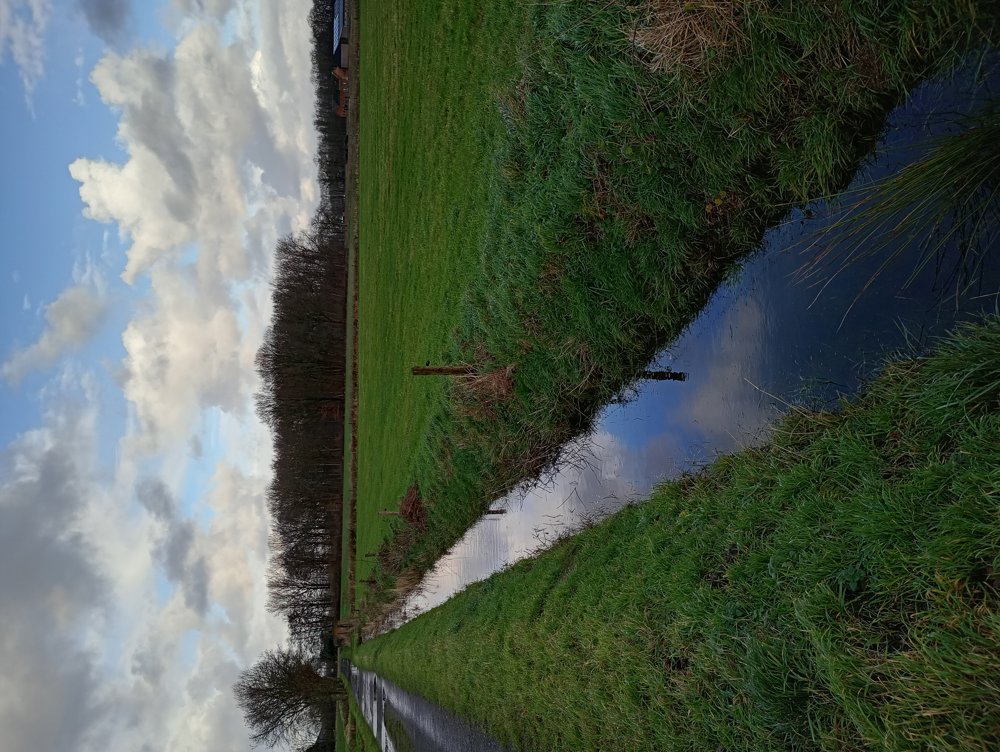
We generally walk on paved roads that are passable even in rainy weather.
The walk starts in Malderen and we go to Lippelo and then back. About halfway, in the village of Lippelo, it is possible to make a sanitary stop. During this walk, we pass by the geographical center of Flanders.
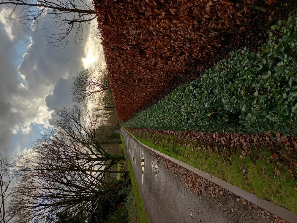
Forests and fields alternate on this quiet route with almost no height differences.
automatic translation
 nodes to follow
0 km

0.9 km
1.5 km
2.5 km
3.2 km
3.8 km
4.6 km
4.9 km
5.3 km
5.5 km
6.1 km
6.9 km
7.4 km
8.6 km
10.1 km
12 km
12.7 km

13.2 km
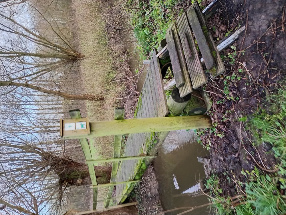
Wednesday, November 12, 2025 by L.T.Pleasant, varied hike. Generally good or semi-paved roads and paths. Be careful in wet winters or after long rains: the last kilometer of the stretch between Lippelo village and Marselaerdreef is an unpaved path through a nature reserve along the Molenbeek, which floods very often in wet winters.
automatic translation
Sunday, November 9, 2025 by Sven Van de SijpeVery beautiful in autumn with all the colors
automatic translation


 Upgrade to Premium Plus
