 Hiking
 Login
Login More
More EN
EN Premium
Pieter Paul walk
automatic translation
10.7 km • Opwijk
 official route
5491 1 3/5
route offered by
 Addresse starting point (approximate)
Hof ten Hemelrijk, Kloosterstraat 7, 1745 Opwijk
 signage
The route is fully signposted with nodes.
 Description
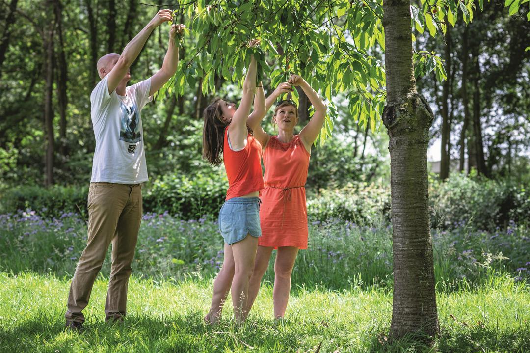
St. Peter Paul is a compound of St. Peter and St. Paul, the patron saints of the Mazenzeel parish church, with its remarkable 13th century tower, and the Opwijk parish church. From the walled Hof ten Opwijk, you walk to the village of Mazenzele, which used to be called the white village because it was colored white in the spring by the flowering cherry orchards. Here and there you can still find traces of old orchards. Discover the beautiful surroundings and walk via the Koutermolen to the Perreveld and end at the imposing convent of the Sisters of Saint Vincent à Paulo.
This walk is offered by Tourism Flemish Brabant
automatic translation
 nodes to follow
0 km
0.2 km
0.8 km
2.1 km
2.5 km
3.9 km
4.9 km
5.2 km
5.5 km
5.7 km
6.6 km
6.9 km
7.8 km
9.5 km
10.4 km
10.6 km


 Upgrade to Premium Plus
