 Hiking
 Login
Login More
More EN
EN Premium
Hesterberg walk
automatic translation
9.1 km • Opwijk
 official route
7221 2 2.8/5
route offered by
 Addresse starting point (approximate)
Hof ten Hemelrijk, Kloosterstraat 7, 1745 Opwijk
 signage
The route is fully signposted with nodes.
 Description
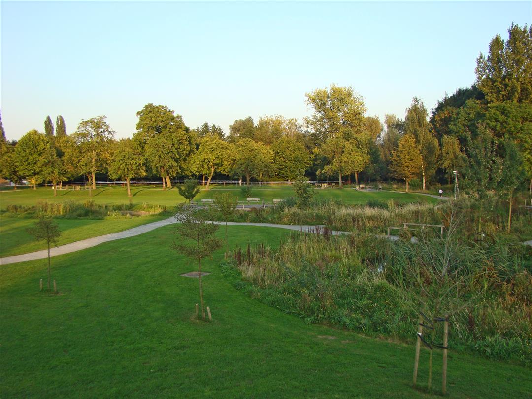
During this walk you will explore the neighborhood of Hestergem that begins at Kapellebaan and runs to Lebbeke. It was named after the Frankish settlement Haistharingaheim. You start at the Hof ten Hemelrijk, the meeting place of Opwijk, which has been converted into a recreational park with an amphitheater, playground and standard orchard. Along the way you walk past the Affligem brewery and follow a section of the Leirekensroute on the disused railroad line Aalst - Londerzeel.
This walk is offered by Tourism Vlaams-Brabant.
automatic translation
 nodes to follow
0 km
0.4 km
0.7 km
1.6 km
2.1 km
3.9 km
5.1 km
5.7 km
6.2 km
7.6 km
8.7 km
9.1 km
Friday, June 19, 2020 by G.D.Walked up to #77 and then lost pointers. Till there always walked between houses, not in nature, sorry. There was not much traffic, but we like to walk in nature, a small path between two gardens, you could hardly pass, because of the hedge that grew over it.
automatic translation
Thursday, October 24, 2019 by C.M.Very pleasant hike - varied - definitely doable during rainy days (only one limited mud zone)- enjoyed it!
automatic translation


 Upgrade to Premium Plus
