
 Hiking
 Login
Login
 More
More
 EN
EN
 Premium
Foeksenboswandeling
9.3 km • Merchtem
 official route
4.6629 4 4/5
route offered by

 Addresse starting point (approximate)
Parochiekerk Sint-Jan-de-Doper, Kasteelstraat 30, 1785 Brussegem (Merchtem)
 signage
The route is fully signposted with nodes.
 Description
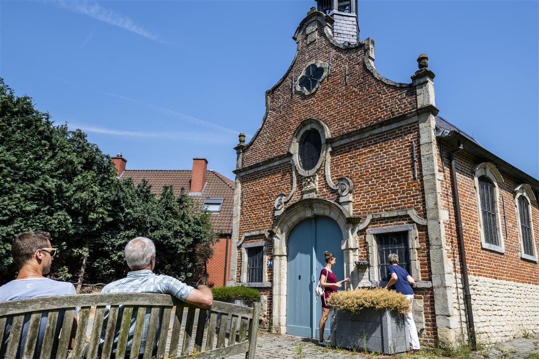
The Foeksenbos is a beautiful nature reserve that encompasses Wolvendael Castle Park, De Warande Castle Park, and Hagenkasteel in Ossel. The forest itself is not accessible, but you’ll pass by it as you walk through the rolling countryside dotted with springs and streams. The region is also known as “Little Switzerland.” Admire the small rural church of St. John the Baptist in Ossel, which features elements of Gothic and Renaissance architecture. You’ll also pass the Torenhof fruit farm, and perhaps the farm shop will be open.
automatic translation
 nodes to follow
0 km
0.9 km
1 km
2.1 km
3.1 km
3.7 km
4.8 km
6.8 km
7.9 km
9.3 km
Sunday, December 19, 2021 by Hilde VdVQuiet roads with variation between fields, orchards, village center, with only some mud at the end in forest road. Some hilly though which gives beautiful views. After the walk refuel in village cafe osselstar at the church Van Ossel.
automatic translation
Sunday, April 25, 2021 by J.V.Very nice walk in the green outskirts of Brussels. Also delicious ice cream at farm along the way!
automatic translation
Sunday, February 21, 2021 by A.V.Nice walk along quiet paths. Also good to do with rainy weather because mostly paved.
automatic translation
Monday, December 30, 2019 by sonja Vanderstappenlots of variety, uphill, downhill, hollow roads, on a clear day views of Brussels and Vilvoorde, apple orchards, a tip for spring instead of busy limburg blossom walks
automatic translation



 Upgrade to Premium Plus


