 Hiking
 Login
Login
 More
More
 EN
EN
 Premium
Kouterwandeling
9.8 km • Meise
 official route
2.8938 4 4/5
route offered by
 Addresse starting point (approximate)
Sint-Medardus en Gildarduskerk, Rossemdorp 32, 1861 Meise
 signage
The route is fully signposted with nodes.
 Description
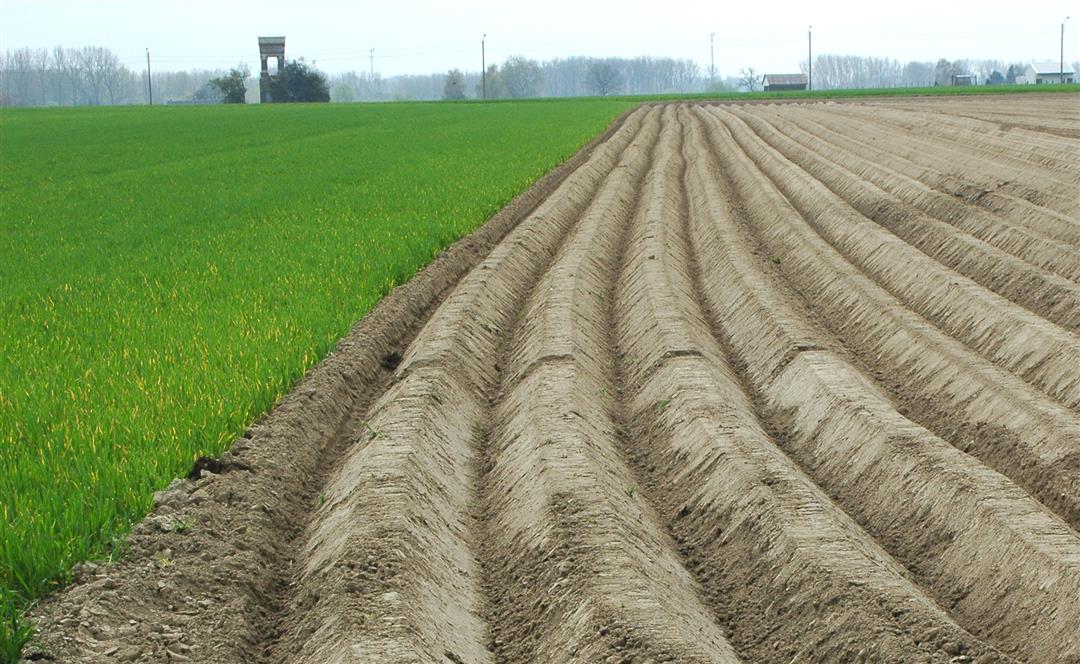
A pleasant walk through three forgotten villages: Rossem, Imde and Meusegem. Share the wonder that these villages so close to Brussels have yet remained completely rural. The large open sandy loam couter, known as Imdse Kouter, has been under cultivation for centuries and is among the best agricultural land in the world. At the beginning of World War I, this place was the scene of "The Battle of the Imdse Kouter. As a reminder, a war memorial was placed there that you can see from afar in the landscape.
automatic translation
 nodes to follow
0 km
0.9 km
1 km
2.1 km
2.7 km
3.9 km
4.3 km
5.1 km
7.2 km
8.1 km
9.8 km
Sunday, March 9, 2025 by I.K.pleasant walk 👌
automatic translation
Sunday, November 22, 2020 by W.V.The route through the field is doable. You have to walk straight ahead until you see a sign again. Too bad those potato and corn farmers want to use every half inch, plowing the paths. Maybe the municipality should make better arrangements to keep them clear? Walking along the street is unpleasant anyway.
automatic translation
Tuesday, May 5, 2020 by P.D.Even through this plowed field I did not find my way ! Then I returned and walked via kaseibaan in the direction of Rossem.
automatic translation
Friday, April 26, 2019 by T.B.Between nodes 521 and 520 you have to enter a field road that suddenly stops. You can step over a plowed field but is confusing.
automatic translation


 Upgrade to Premium Plus
