 Hiking
 Login
Login More
More EN
EN Premium
d'Hoogvorst walk
automatic translation
9.8 km • Meise
 official route
route offered by
 Addresse starting point (approximate)
Sint- Martinuskerk, 1860 Meise
 signage
The route is fully signposted with nodes.
 Description
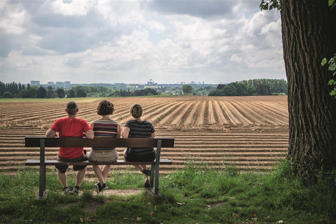
d'Hoogvorst walk takes its name from Baron Emmanuel van der Linden d'Hoogvorst, former mayor of Meise in the 19th century. The walk takes you through the center of Meise and past the National Botanical Garden of Belgium, one of the largest botanical gardens in the world, with its famous giant arum. Step across the Heirbaan, enjoying magnificent views of Brussels. In clear weather, you can easily recognize the Atomium. Stroll past the picturesque St. Stephen's Church of Oppem, ending at the chapel of St. Eloi, protector of horse traders.
This walk is offered by Tourism Flemish Brabant.
automatic translation
 nodes to follow
0 km
0.1 km
0.9 km
1.3 km
2.7 km
3.4 km
3.7 km
4.9 km
5.7 km
6.9 km
8.4 km
9.6 km
9.8 km


 Upgrade to Premium Plus
