 Hiking
 Login
Login
 More
More
 EN
EN
 Premium
Geetbets: Aronsthoek = wet feet
automatic translation
16.9 km • Geetbets
6891 0 0/5

 Addresse starting point (approximate)
Dorpsstraat 33A, 3450 Geetbets, BE
 signage
The route is fully signposted with nodes.
 Description
To plot this walk, we mainly used the junction network.
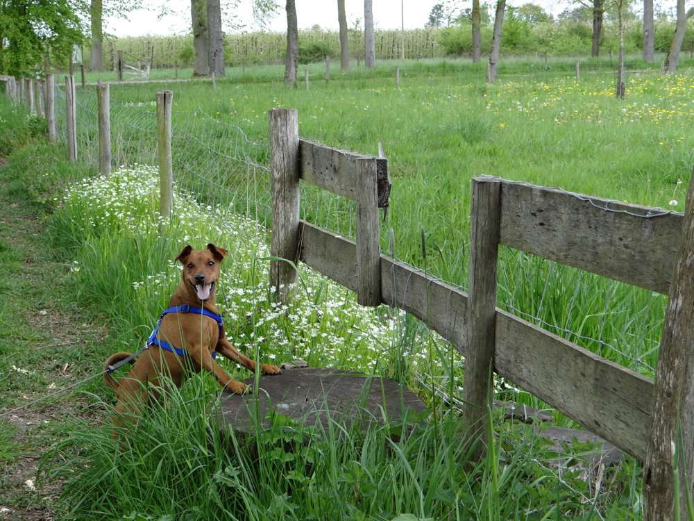
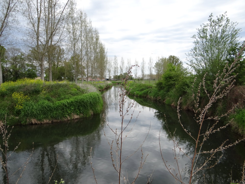
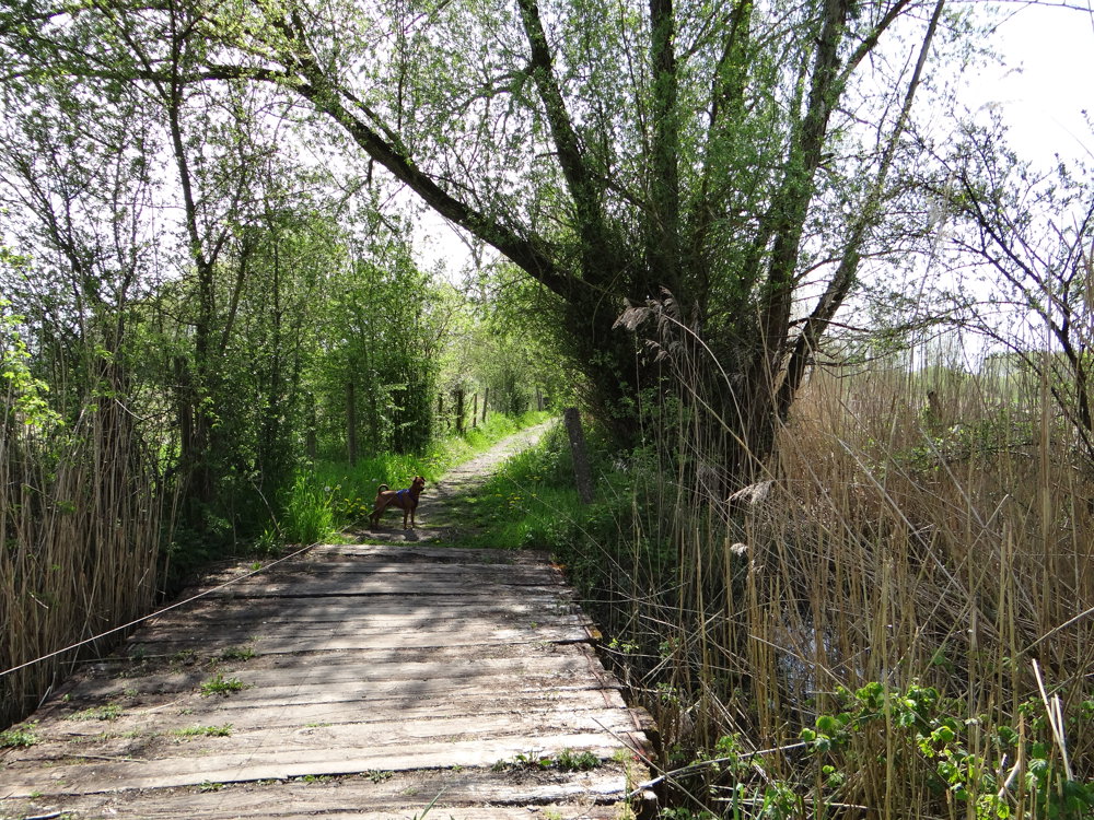
Between KP 45 and 415, we temporarily left the KP network to enjoy the adventurous loop of the walk “nature reserve Aronsthoek”. It is a beautiful piece of nature with grazing Galloway cattle. Aronsthoek is a very wet nature reserve. During the winter months and with persistent rain, the area can become completely flooded. Walking is then strongly discouraged. Even with appropriate footwear (boots), the area is then inaccessible. Everywhere it is visible that the land around Geetbets is flood-prone.
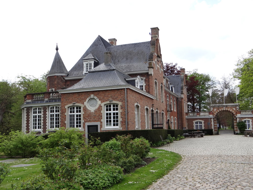
Furthermore, one passes through the beautiful "Warandebos" during the walk. The "castle of Bets" is also worth a visit.
In short, a beautiful varied walk with here and there some low-traffic paved roads.
More photos: https://photos.app.goo.gl/vvgnk1Hd8qQ4NsDu6
Happy walking,
Eddy, Rita and Prinske
automatic translation
 nodes to follow
0 km
0.4 km
1.3 km

1.7 km
2.1 km
3.4 km
3.4 km
3.6 km
4.4 km
5 km
5.1 km
5.8 km
6.5 km
8.8 km
11.7 km
12.7 km
13.3 km
13.9 km
14.9 km
15 km
15.7 km
16.5 km
16.6 km
16.6 km
16.9 km


 Upgrade to Premium Plus
