 Hiking
 Login
Login
 More
More
 EN
EN
 Premium
Auto-pedestrian Wahlhausen
automatic translation
9 km • Parc Hosingen
1970 0 0/5

 Addresse starting point (approximate)
Am Duerf 4, 9841 Parc Hosingen, LU
 signage
The route is fully signposted with thematic signs (no nodes).
 Description
Marking: Blue diamond on white
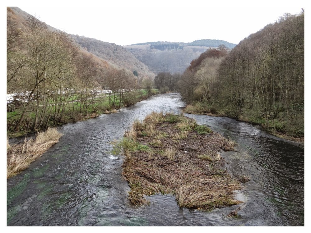
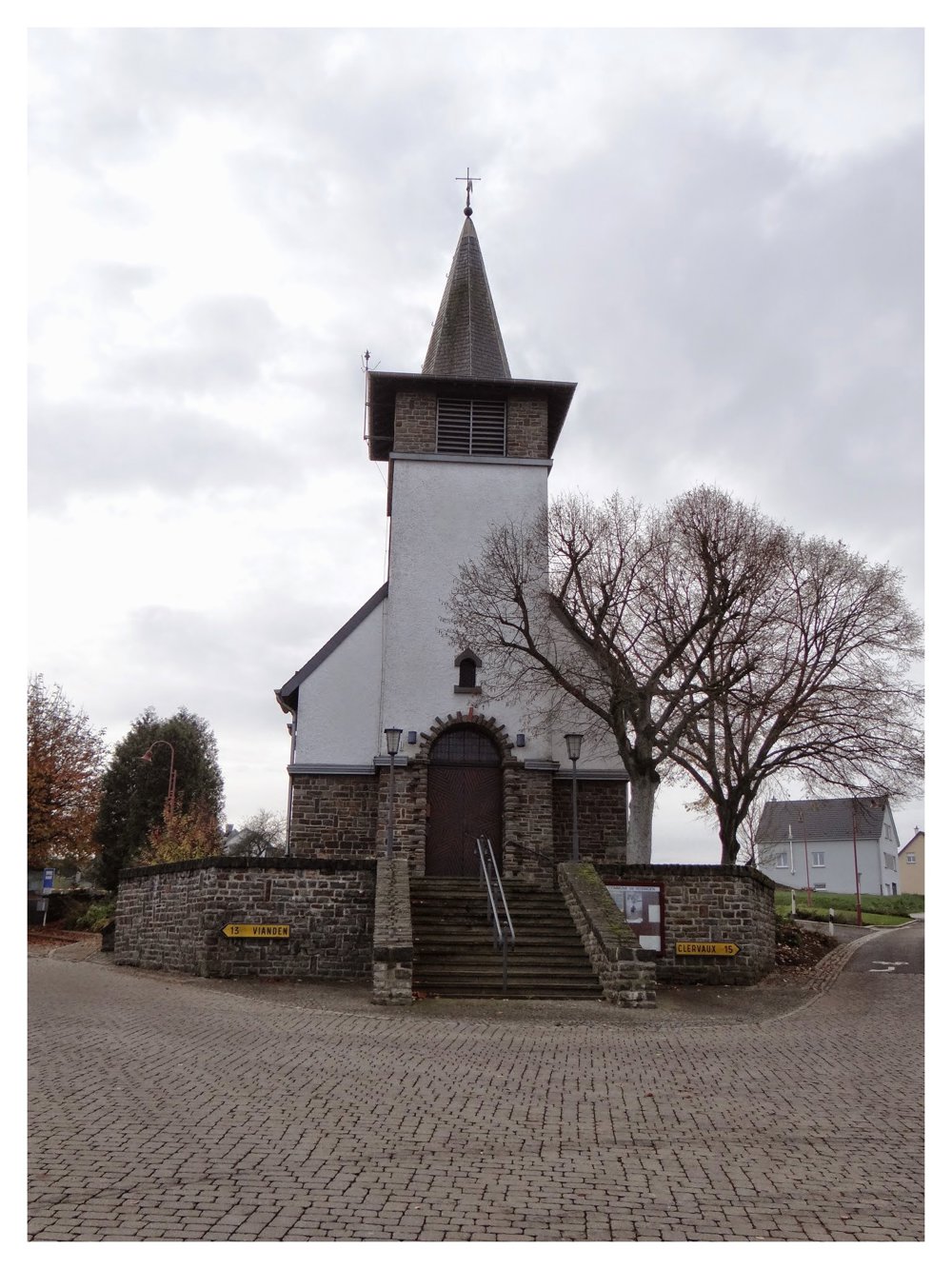
‘Wahlhausen’ is a small village located in the ‘Luxembourg Ardennes’ on a plateau 500 m above sea level. This beautiful, varied walk starts at the church of ‘Wahlhausen’. We walked clockwise.
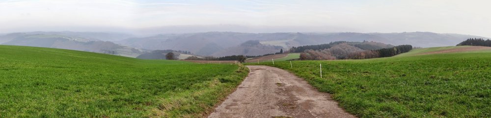
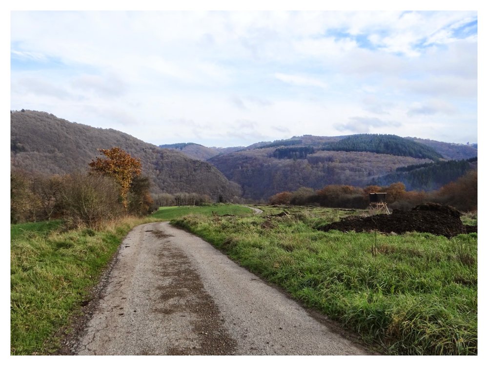
After leaving the main street, we descended into the valley of the ‘Our’, a river that forms the natural border between ‘Luxembourg’ and ‘Germany’. The descent (from 500 m to 240 m over 3 km) begins on a paved road between the fields and quickly turns into an unpaved path that becomes narrower and eventually follows a narrow path along a ridge.
Once at the bottom, we reach the border village of ‘Gemünd’ which is located on the German side of the ‘Our’. The walk follows the N10 for about 2 km before diving back into the forest to climb back to the starting point along wide paths. The hiker can definitely expect beautiful views of the surroundings.
More photos: https://photos.app.goo.gl/SZMWn34cyqCcC3sCA
Enjoy,
Eddy, Rita and Prinske
automatic translation


 Upgrade to Premium Plus
