 Hiking
 Login
Login More
More EN
EN Premium
Soo Moereman Walk
automatic translation
8.4 km • Londerzeel
 official route
8350 2 0.5/5
route offered by
 Addresse starting point (approximate)
Gerard Walschapplein, 1840 Londerzeel
 signage
The route is fully signposted with nodes.
 Description
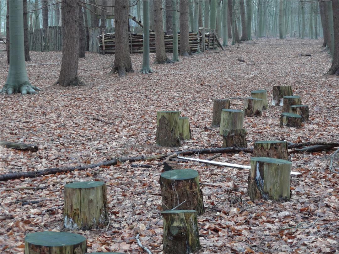
Step into the footsteps of Gerard Walschap, known for the novels "The World of Soo Moereman" and "Houtekiet. The path takes you through the landscape that the writer often sought out to think and fantasize quietly. Some buildings he describes in detail in his books, such as St. Joseph's Church and the presbytery. Along the way you pass the Schierbossen play forest located in the Marselaer nature reserve. Children can romp to their heart's content in the hideout, fort with tree house, climbing tower, step logs and sneak tunnels.
This walk is offered by Tourism Flemish Brabant.
automatic translation
 nodes to follow
0 km
1.7 km
2.8 km
3.1 km
4 km
6 km
6.3 km
6.4 km
6.7 km
8 km
8.2 km
8.4 km
Saturday, January 11, 2020 by R.V.Practically only paved roads, among too much traffic. Practically no nature, and nothing restful either....
automatic translation
Thursday, January 2, 2020 by R.R.Typical how people in Flanders deal with open windows. Walschap should not return
automatic translation


 Upgrade to Premium Plus
