Loading...

Herent station to De Bereklauw

automatic translation

11.2 km • Herent

1.7784 0 0/5

11.2 km 0.0 km 0.0 km

route offered by

Peter XX

Icon starting point Addresse starting point (approximate)

Kouterstraat 1, 3020 Herent, BE

Icon type signage of route signage

The route is not signposted. Use a GPS device or our app to follow the route.

5m 5m 5m 5m
Atmosphere image 1 of route Herent station to De Bereklauw Atmosphere image 2 of route Herent station to De Bereklauw Atmosphere image 3 of route Herent station to De Bereklauw
© Peter D'hont

Icon description route Description

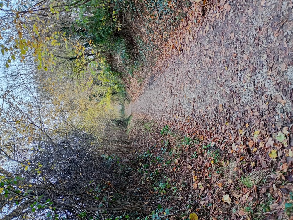
We take a walk from the station to the Chestnut Forest.

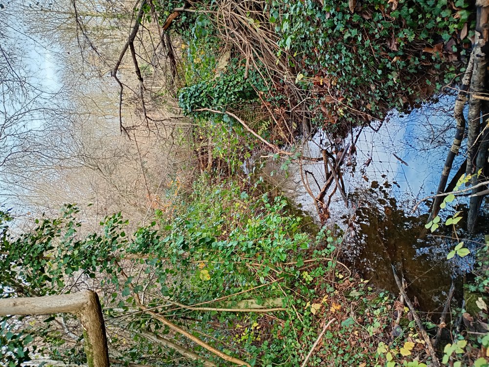
This forest was mapped in 1778 by Count De Ferraris as the 'Castaniën Bosch' and 'Speckbosch'. Wet meadows, often bordered by hedgerows, now surround the forests. Contrary to what the name suggests, there are almost no chestnut trees in the forest today. Be careful, this forest is very marshy in rainy weather.

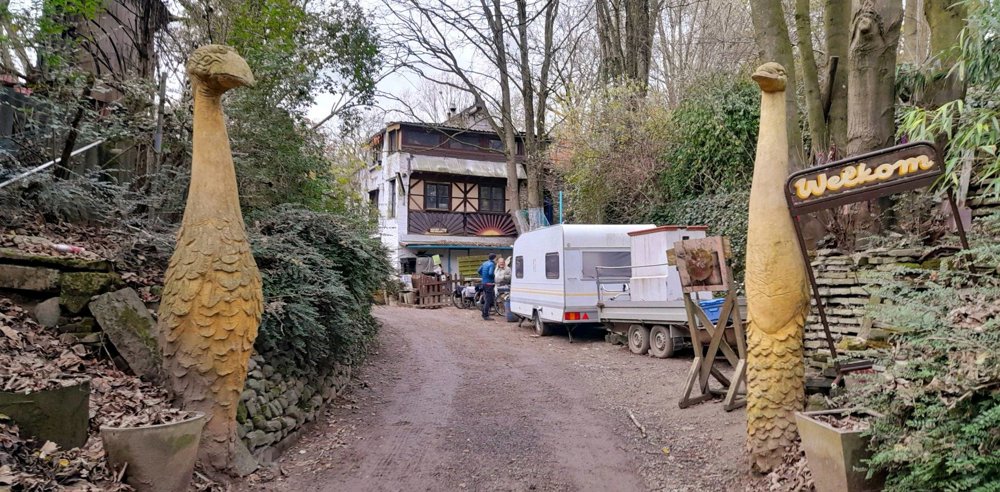
We continue to De Bereklauw, an alternative living community led by 'De Gosse', where many artistic works and artworks can be admired on the premises. A sanitary stop can be made here.

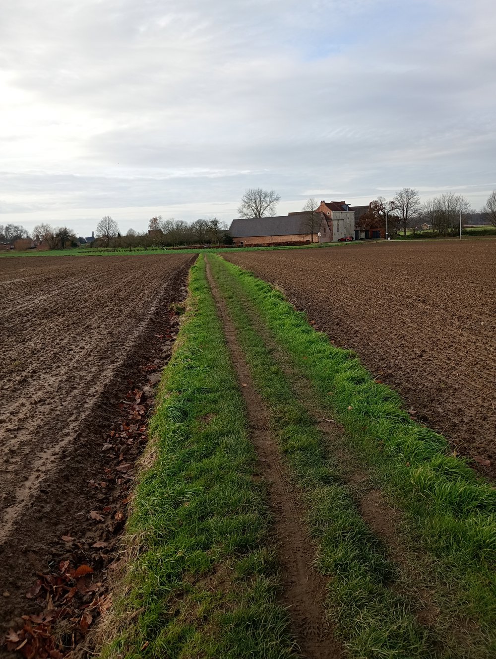
Afterwards, we return to the station of Herent.

automatic translation

Icon nodes to follow nodes to follow

Icon start route
0 km
Icon deviation route
0.9 km
Image node TP
1 km
Image node 37
2.2 km
Icon deviation route
3.6 km
Icon deviation route
4.2 km
Icon deviation route
4.8 km
Icon deviation route
5.6 km
Icon deviation route
5.8 km
Icon deviation route
6.3 km
Icon deviation route
6.7 km
Icon deviation route
7.4 km
Icon deviation route
7.8 km
Icon deviation route
8.1 km
Icon deviation route
8.7 km
Icon deviation route
9.3 km
Icon deviation route
9.7 km
Icon deviation route
11 km
Icon stop route
11.2 km
This route does not have any reviews yet. Be the first!
Rate route!

Which POI do you want to show on the map?

Experimental hiking network
Unsigned icon

The route you have chosen runs (partly) along an experimental virtual hiking node network (the blue-coloured nodes and sections on the map).

You must be logged in to plan routes here.

Experimental hiking network
Unsigned icon

The route you have chosen runs (partly) along an experimental virtual hiking node network (the blue-coloured nodes and sections on the map).

These routes are not controlled in the field. Before you start hiking here, take a minute to read what an experimental hiking node network is and what rules you should follow when hiking here.