
 Hiking
 Login
Login
 More
More
 EN
EN
 Premium
Oxdonkwandeling
6.6 km • Kapelle-op-den-Bos
 official route
4.2033 10 3.4/5
route offered by

 Addresse starting point (approximate)
Oxdonkstraat 168, 1880 Kapelle-op-den-Bos
 signage
The route is fully signposted with nodes.
 Description
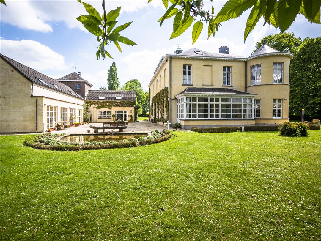
A walk through the hamlet of Oxdonk that soon takes you past the filled-in Echelput, where residents used to be treated with leeches. These were believed to help lower high blood pressure. The heathland of Hoksdonk—or Oxdonk—was long an undeveloped area of forests, heaths, wells, and pools. You’ll wander through the natural landscape of the Bos van Aa all the way to the small castle known as the Koningsteen. Once the hunting grounds of the Dukes of Brabant, it is now a seminar and training center.
automatic translation
 nodes to follow
0 km
0.3 km
1 km
1.6 km
1.9 km
2.6 km
2.8 km
3.5 km
3.9 km
4.2 km
5 km
5.3 km
5.6 km
6.6 km
Saturday, January 3, 2026 by J.D.I do not understand why this hike is rated so well , quiet but boring and monotonous
automatic translation
Saturday, October 18, 2025 by D.I.This route is not hikeable at this time (Oct. 25). Beyond node 805 the stream has completely flooded a crossing, no way through. Too bad because for the resr a beautiful and quiet route.
automatic translation
Saturday, December 18, 2021 by Hilde VdVIndeed partly swampy in rainy weather, so don't forget your bottoms/boots, but still worthwhile. Do not forget thv 805 just go up the dike. Surprisingly beautiful view over the water.
automatic translation
Tuesday, September 7, 2021 by Rosine Van HemelryckThe first sign is only at 162 Oxdonkstraat. So be careful because 168 is private, including the parking lot. I don't understand why anyone here calls this hike boring. Of course you're in the countryside but the landscape is quite varied. I found it a beautiful walk and especially the silence in the first part was so beautiful.
automatic translation
Sunday, January 10, 2021 by E.Z.Nice quiet walk between the fields. 1 warning : the part between node 805 and 339 is (unless it has been very dry for a long time) TOTALLY NOT ENGLISHABLE WITHOUT BOOTS or with a baby carriage. It is one mudslide. It would be good if the routes were indicated ( now it only says whether the roads are paved or not ).
automatic translation
Sunday, November 29, 2020 by N.M.Disappointing. Never felt like you were hiking in full nature. Very boring landscape, with mostly views of houses and backyards. No.
automatic translation
Sunday, November 29, 2020 by Valerie WinderickxNice walk between the fields, very quiet only regret that the first path near the forest is almost completely broken by the mountain bikers so you have to walk in the mud. That is less pleasant but apart from that it is a nice quiet walk.
automatic translation
Sunday, September 6, 2020 by Marc Smetsstart actually opposite house number 162, beautiful walk along paths and fields, sometimes really no house to see. only downside: could have been a bit longer then we would have had an even nicer Sunday afternoon!
automatic translation
Friday, May 8, 2020 by K.R.Beautiful walk, along rustic fields. Very quiet, especially compared to Mechels Broek in corona times.
automatic translation
Tuesday, March 24, 2020 by S.A.Beautiful hike, also for children. Less suitable for wheelchair users. Very beautiful surroundings and nature.
automatic translation



 Upgrade to Premium Plus


