 Hiking
 Login
Login
 More
More
 EN
EN
 Premium
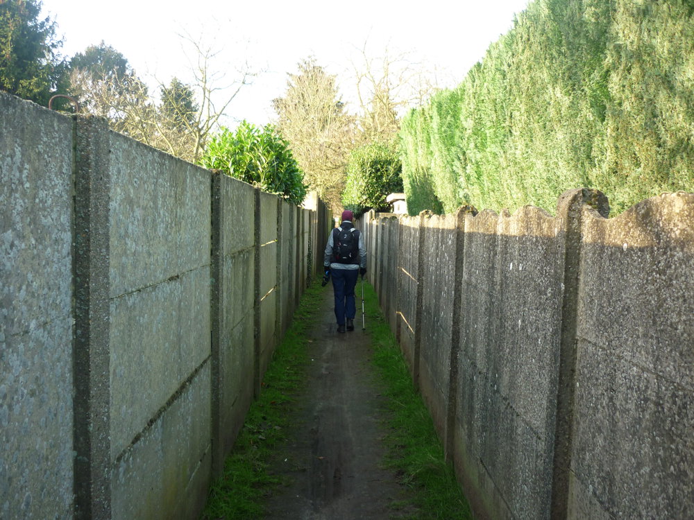
Olen Witbospad: narrow paths
automatic translation
9.6 km • Olen
2.2966 2 3.8/5

 Addresse starting point (approximate)
Dorp 8, 2250 Olen, BE
 signage
The route is fully signposted with thematic signs (no nodes).
 Description
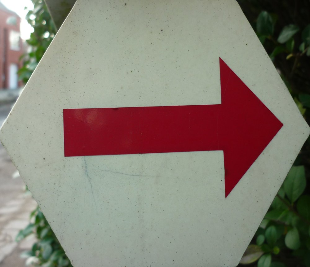
Signage in one direction: red arrow on white background
More walking routes at: https://www.olen.be/wandelen
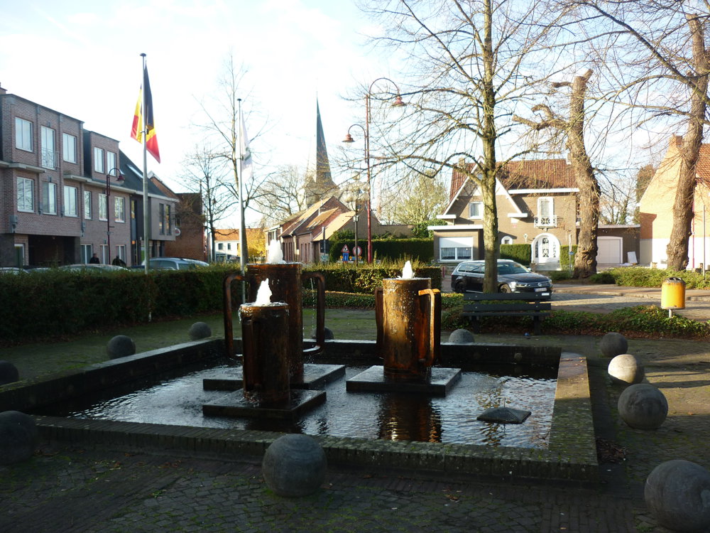
We did this local walk on 12/01/2024. Today, we made Olen a bit "unsafe." We did that during this beautiful walk. This route includes many narrow paths between the gardens. Fun!
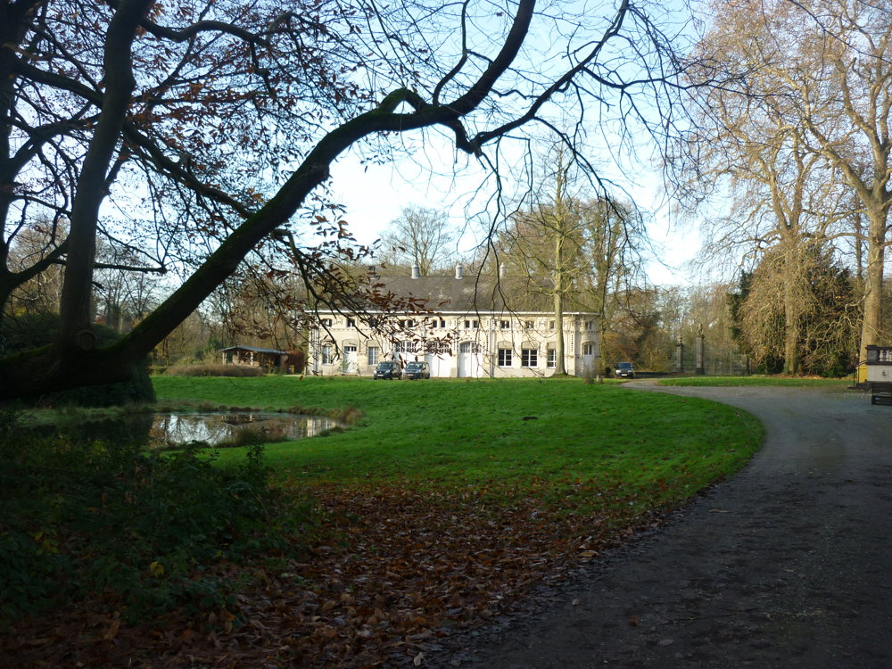
The walking route forms a wide circle around the rural Noorderwijk and leads you past the castle grounds and the charming Averechts Chapel. Along the border with Olen, you walk through the forest adjacent to the former military domain Teunenberg. This walking route connects with two other routes that together form the Teunenberg - Nieuwe Hoeve walking area.
More photos: https://photos.app.goo.gl/ddJYXXHrhLUf5M617
Enjoy your walk,
Eddy, Rita, and Prinske
automatic translation
Friday, February 20, 2026 by Elke Van KelstA peaceful walk between Olen and Noorderwijk. In wet weather, the paths in the forest can be quite muddy!
automatic translation
Monday, March 16, 2026 by Eddy & RitaThank you for your comment. Enjoy your walks!
automatic translation
Monday, October 6, 2025 by Jan TheunisNice walk with cool connecting paths in the center. The parts through the forest were well done, highly recommended.
automatic translation
Thursday, October 23, 2025 by Eddy & RitaThanks for your response. Have a great time hiking!
automatic translation


 Upgrade to Premium Plus
