
 Hiking
 Login
Login
 More
More
 EN
EN
 Premium
Hoge Horikwandeling
8.5 km • Grimbergen
 official route
2.7084 2 3.5/5
route offered by

 Addresse starting point (approximate)
Sint-Rumolduskerk, Dorpsstraat 16, 1851 Humbeek (Grimbergen)
 signage
The route is signposted with thematic signs (no nodes). You can use a GPS device or our app to follow the route through the virtual nodes.
 Description
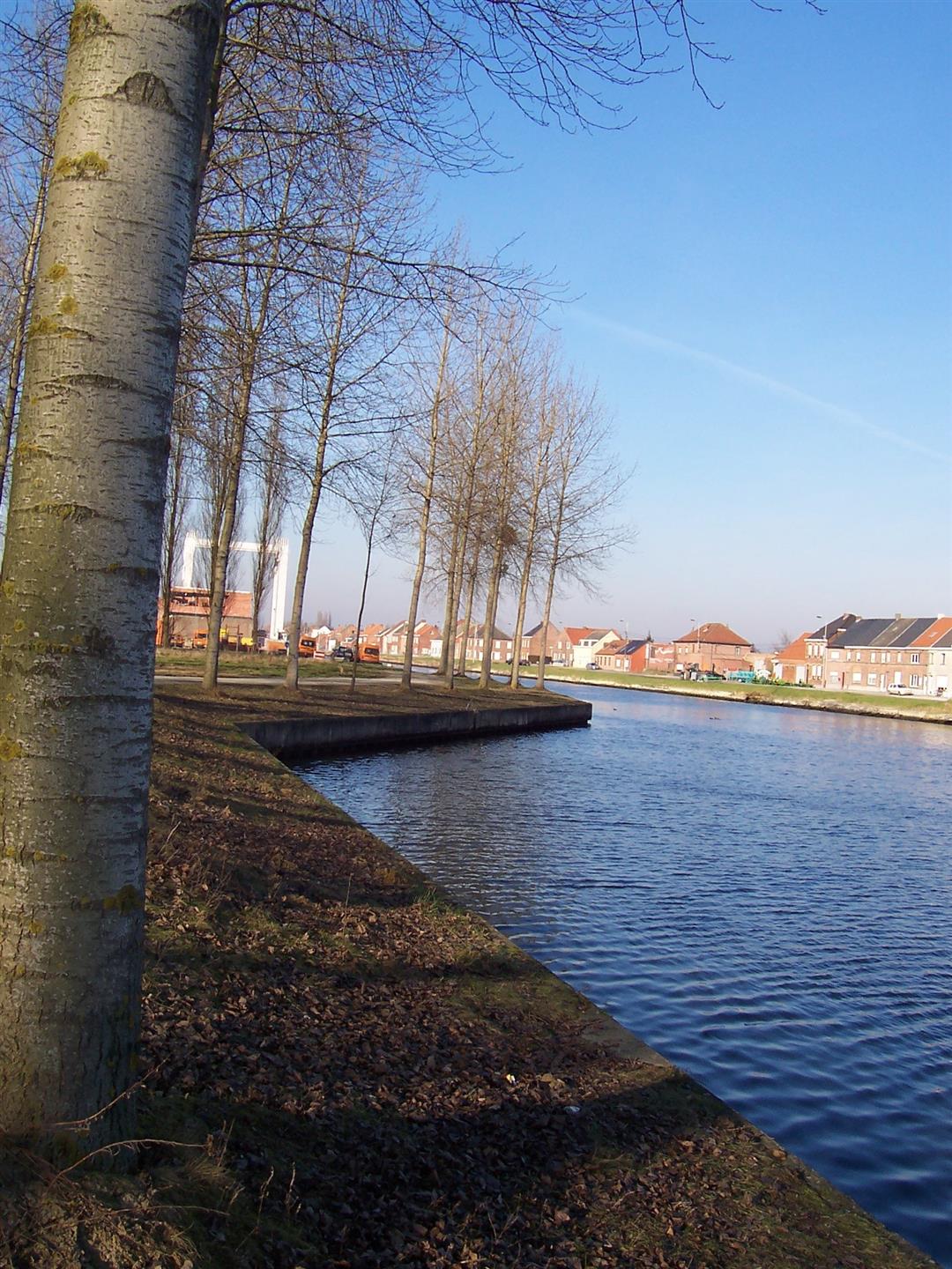
This walk connects the Grimbergen villages of Humbeek and Beigem. You’ll pass Lint Castle, the remains of a moated castle that the van Lint family held in fief from the lords of Grimbergen in the 13th century. You’ll walk through the beautiful pastureland that has been known as Hoge Horik since time immemorial. For a short while, you’ll follow the western embankment of the Brussels-Scheldt Sea Canal until the tower of St. Rumold’s Church in Humbeek comes back into view.
Before you set out: This is a walk on a virtual walking network. The junctions are not marked on the ground. Follow the hexagonal red-and-white signs bearing the name of the walk.
automatic translation
 nodes to follow
0 km
0.3 km
1 km
1.9 km
2.5 km
3.6 km
4 km
4.8 km
5.5 km
6.1 km
6.6 km
8.5 km
Monday, March 25, 2024 by C.F.Nice varied route, well marked. Some very soggy parts this season though. Best to wait for drier weather!
automatic translation
Sunday, December 13, 2020 by Luc VerbiestToday 13/12 we had a nice but swampy hike in Humbeek. I would have liked to point out to hikers that this hike is WELL signposted , but in the whole area there is no trace of the mentioned hiking nodes (638 etc.).
automatic translation



 Upgrade to Premium Plus


