 Hiking
 Login
Login More
More EN
EN Premium
High Horik Walk
automatic translation
8.5 km • Grimbergen
 official route
route offered by
 Addresse starting point (approximate)
Sint-Rumolduskerk, Dorpsstraat 16, 1851 Humbeek (Grimbergen)
 signage
The route is not signposted. Use a GPS device or our app to follow the route through the virtual nodes.
 Description
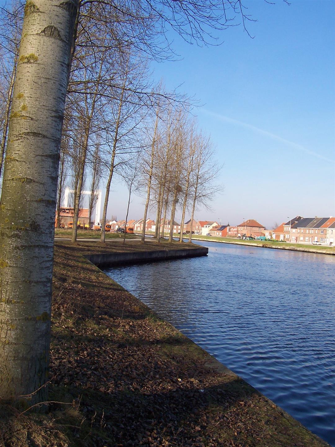
This walk connects the Grimberg villages of Humbeek and Beigem. You pass by the Lint Castle, a remnant of a moated castle that the family of Lint had in loan from the lords of Grimbergen in the 13th century. Following the western dike of the Brussels-Scheldt Canal, you'll be arriving at the Saint Rumoldus Church of Humbeek, your starting point.
NOTE: This is a hike on a virtual hiking network. The nodes are not signposted in the field. Follow the 6-sided red and white signs with the name of the hike.
This hike is offered by Tourism Flemish Brabant.
automatic translation
 nodes to follow
0 km
0.3 km
1 km
1.9 km
2.5 km
2.5 km
3.6 km
4 km
4.8 km
5.5 km
6.1 km
6.6 km
8.5 km
Monday, March 25, 2024 by C.F.Nice varied route, well marked. Some very soggy parts this season though. Best to wait for drier weather!
automatic translation
Sunday, December 13, 2020 by Luc VerbiestToday 13/12 we had a nice but swampy hike in Humbeek. I would have liked to point out to hikers that this hike is WELL signposted , but in the whole area there is no trace of the mentioned hiking nodes (638 etc.).
automatic translation


 Upgrade to Premium Plus
