
 Hiking
 Login
Login
 More
More
 EN
EN
 Premium
Dertien Bunderswandeling
10.5 km • Asse
 official route
4.39212 8 4.4/5
route offered by

 Addresse starting point (approximate)
Sint-Gaugericuskerk, 1730 Kobbegem (Asse)
 signage
The route is fully signposted with nodes.
 Description
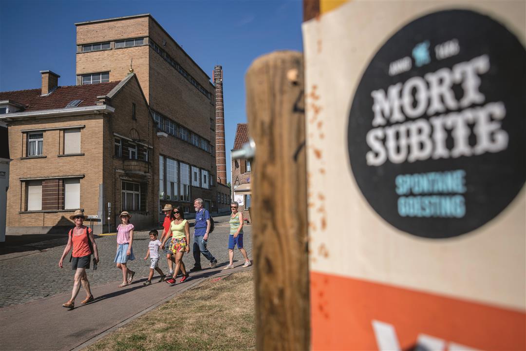
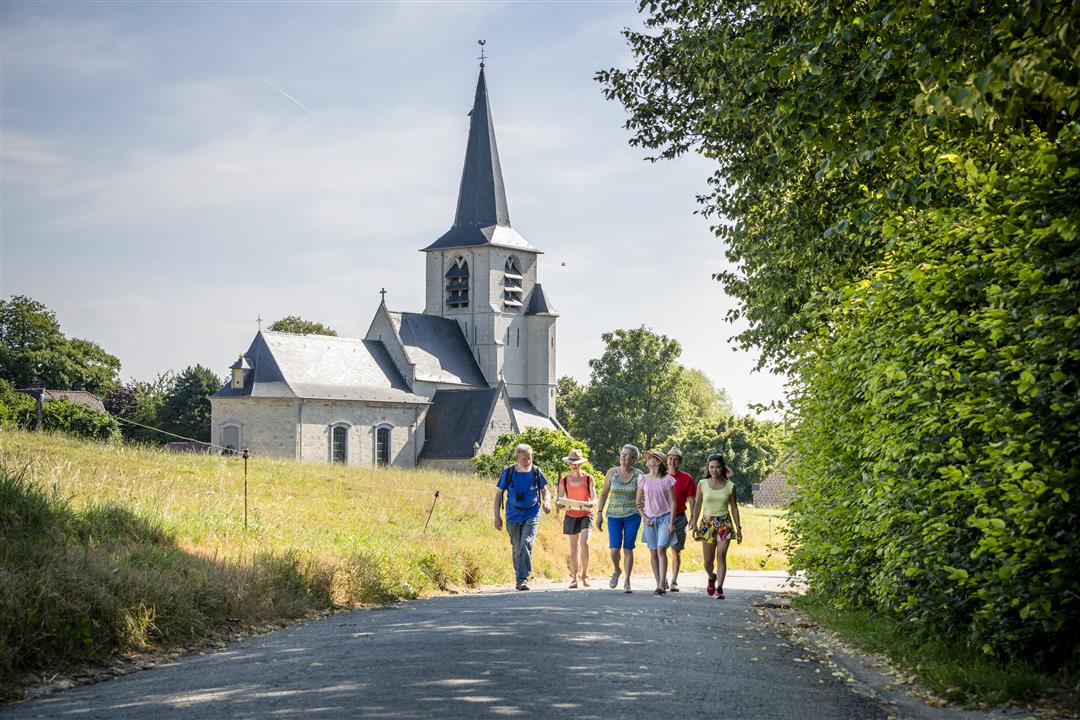
Take a walk through the beautiful open countryside of Kobbegem. Affligem Abbey once owned its lands here, and the name of the region—the Dertien Bunders—still refers to that fact. A “bunder” is an old unit of land area. Back in the center of Kobbegem, you’ll walk past the Mort Subite brewery. The history of this lambic brewery dates back to 1686! Today, gueuze is produced here using the most modern technology, yet in a traditional, artisanal manner.
automatic translation
 nodes to follow
0 km
0.9 km
2.1 km
2.3 km
4.1 km
4.8 km
5.3 km
5.8 km
6.9 km
8.1 km
8.5 km
10.4 km
10.5 km
Sunday, March 15, 2026 by D.J.It’s a beautiful route, but we ended up with a distance of 12.50 km. We’re not sure what went wrong, because we followed the trail markers carefully. Just a heads-up: there are some wires at marker 222 on the path you’re following, so you’ll need to watch your step to avoid tripping over them. Other than that, it’s a really lovely walk.
automatic translation
Monday, March 3, 2025 by Benjamin KeppensClose to Brussels and yet so many wide views, fields and tranquility. That there is also beautiful heritage on this trail (the small Saint-Gudula Church of Hamme) is certainly an asset. A very enjoyable hike!
automatic translation
Wednesday, July 20, 2022 by Yasmin VdCExcellent walk. Rural, very restful for dog and owner. Little hassle along the way. Easy parking and well marked. Can be very hot though due to mainly walking through fields so beware on sunny days!
automatic translation
Sunday, April 25, 2021 by Hilde VdVIf you are in need of open air and want a breath of fresh air, this is a must. Through rolling fields where you sometimes see few buildings and sometimes the immense skyline of Brussels in the distance, you will enjoy the countryside 🌱 and the tranquility that typifies this hike. Dry weather ☀️ is a necessity because of the mostly unpaved roads with tractor tracks. 🚜
automatic translation
Saturday, January 9, 2021 by A.V.Blessed hike on a sunny winter day! Almost all unpaved, quiet and beautiful views.
automatic translation
Tuesday, September 1, 2020 by GILBERTE DE BLOCKOn the last day of August we took this beautiful walk, in the middle of nature. On our way we also came across the beautiful little church of Relegem and Hamme, too bad they were closed. Enjoyed it.
automatic translation
Tuesday, August 11, 2020 by K.S.Beautiful walk!
automatic translation
Tuesday, July 21, 2020 by wilried Van HoeckA nice quiet walk along mostly slow roads. The best place to start is just next to the church in Hamme.
Then you are about half way in Kobbegem and here is rest and drink opportunity....
automatic translation



 Upgrade to Premium Plus


